From Gamelands stone circle Sunbiggin cairn is, carry on up the lane up Knott hill, but turn and look down upon the circle before you reach the trig point or it will be too below to see. From the trig point go south east and with as much grace and finesse as possible get over the dry stone wall.
However, north east of the trig point is Castle Folds Romano British settlement, which I didn't get to because of time constraints but from pictures ive seen it reminds me of Castle Wark in Derbyshire.
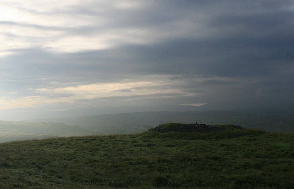
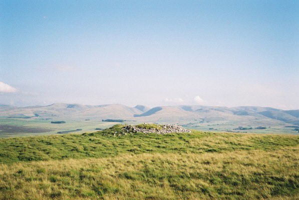
The cairn will come into view soon, it's really very visible, at least from the direction I came and as my daughter says, there's only One Direction. (Ghaaa!)
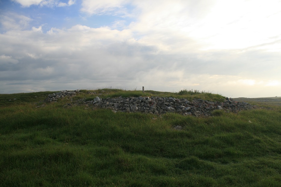
I do not think this is a ring cairn, true, i'm an amateur, but it is almost definitely a round cairn.
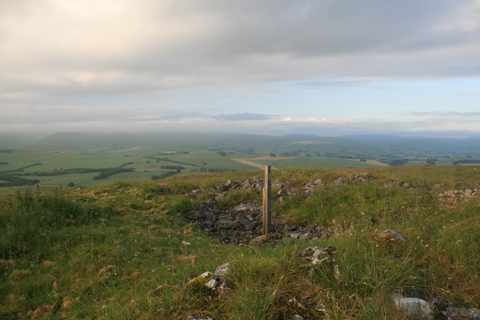
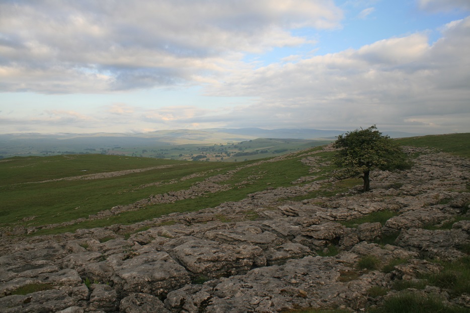
A good one too, as tall as I am and still half it's original height. The obligatory scoop has been taken from it, a bloody big scoop too, and the also obligatory stick, nay, post, arises from the cairns inner, like a frozen arm waving the cairns whereabouts. It is of course made of limestone rubble, as is the whole of Great Asby Scar. Scar is an unfortunate term for such geological occurrences, the exposed limestone paving along with the very odd tree, and the very agreeable view is as mesmerising a place as the cairn or even the stone circle.
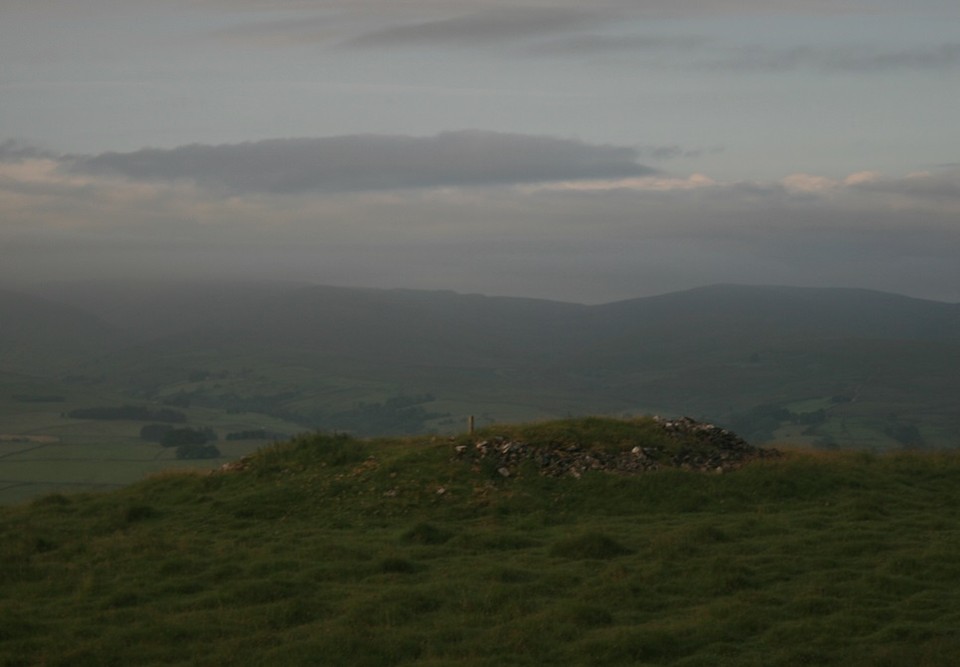
From Gamelands this cairn is very nearly 1 mile away, and it is 1495 meters or 878.97 smoots. Its also in line with the stone circle and the summer solstice sun rise, probably. But the circle cant be seen from the cairn, maybe at its original height it could be. But it might not have to be in direct line, just in the general vicinity of the sunrise might have be enough for the cairns owner.
Either way this is an astonishing place and most suitable to sitting silently pondering.


 Posted by postman