Beaulieu Heath is in two parts, divided by the Beaulieu river's more lush valley. The western part is east of the village of East Boldre, and the eastern part south of Dibden Purlieu. On this occasion we went round the eastern part by bike. It's very flat and makes for quick travelling. The New Forest national park authorities have brought in stricter "controls" on where one is allowed to cycle (basically, nowhere) but provided you are not in a party of 50 hacking cross-country and through skylark nests I think you'll find the locals friendly and welcoming! The whole area is empty (except the famous ponies) and peaceful though you may get an unpleasant whiff of the nearby oil refinery.
Hampshire Treasures is worth reading before a visit, the main parishes of interest being Denny Lodge in the east, East Boldre in the west (Pudding Barrow is just inside Lyndhurst parish). However, many large barrows are called "bell" in the Hants Treasures entries, which I would disagree with if you think a berm is needed to be a bell barrow... semantics, semantics. Also, a lot of their OS grid references are a little squiffy. Trust the maps instead.
This is a vast area, covered in barrows of various types, I will eventually get round to as many as I can, the two shown here were the easiest to access.
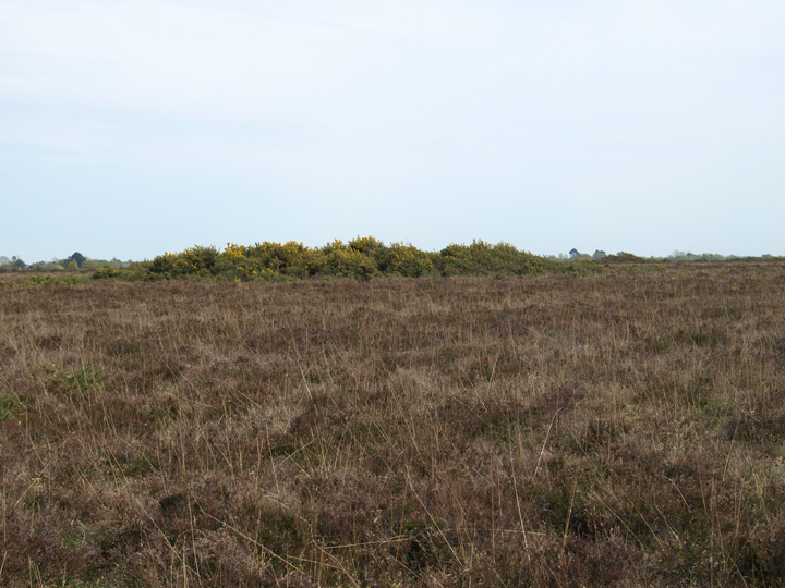
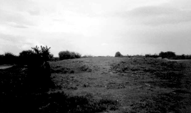
I only had time to visit two of the barrows doted around the large Hatchet Moor / Beaulieu Heath area. The first was at SU345012, only 500m from the main B3055 road. It looks a bit ravaged, in a scrubby area populated by rabbits, and it trapped on two sides by old airfield roads. The barrow is about 25m diameter and 1.4m tall. The second is the Pudding Barrow, which already has an individual listing.
A forester accounted for the tumuli on Beaulieu Heath in this fashion:-- "We calls ut Saltpetre Bank. All these here mounds was throwd up by Uliver Crummle when he tuk the Farest; he and the Danes beat the English the fust time they ever was beat, and he druv the English into Wales."
Hampshire Folklore
D. H. Moutray Read
Folklore, Vol. 22, No. 3. (Sep. 30, 1911), pp. 292-329.
Site of a disused WW2 airfield, this site contains a fantastic array of battered mounds. Bit marshy, but many of the barrows are accessible by what remains of the airstrip and service roads.
This is a single round barrow on the false brow of the most obvious hillock in the area, overlooking a good expanse of heathland to the south and west. It also overlooks a busy and notoriously dangerous crossroads so don't expect it to be a sylvan idyll. There is no obvious ditch but that is understandable as a small brick hut was built on top at one point! You can still see the foundations and some bricks scattered about. Hampshire Treasures piqued my interest with the quaint words:
Fascinating group of four very small and very well-preserved bowl barrows. I wonder if they might be pagan Saxon; I shall have to delve into the records and get back to y'all on that. One of them (the southernmost) has had a big chunk of ditch and the outside edge of the mound dug away fairly recently. Why? Where has the spoil gone?
A group of 8 barrows, spread over an area about 500 x 200 metres. Some of them are on private land but up against the fence and easily visible. One has been heaped up with more earth to make an old rifle butt. The one I visited up close had been dug into in several places by large tunnels - badgers maybe. The soil is quite wet here and that perhaps accounts for the very shallow ditches which have filled up over the millenia.