|
|

|
|
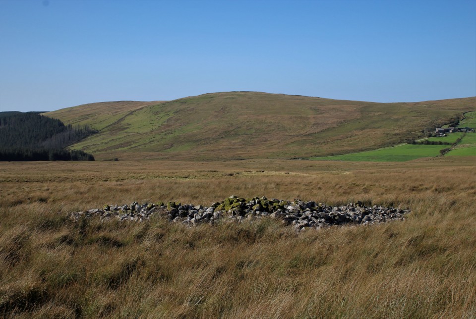
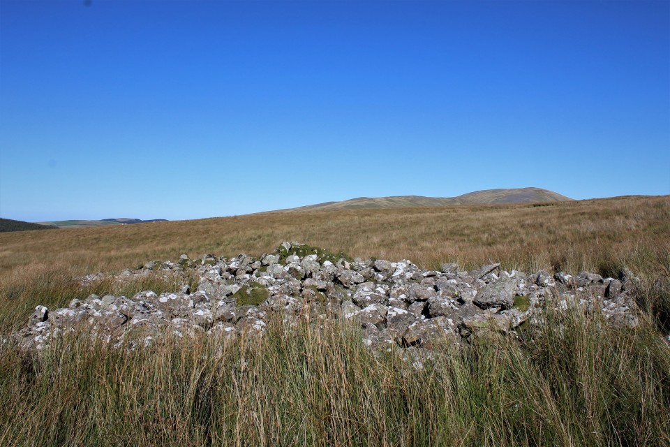
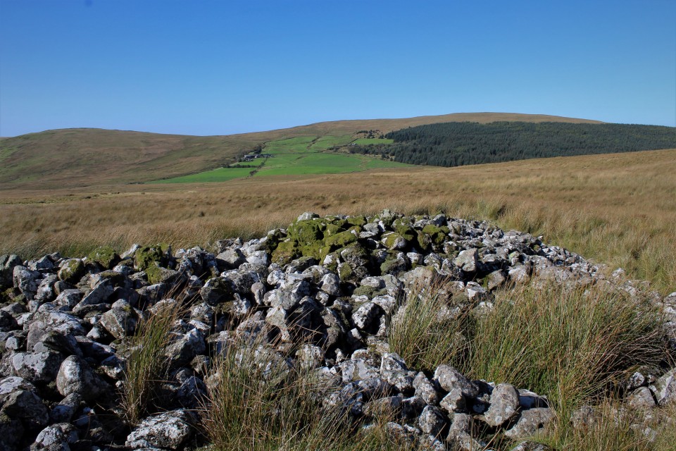
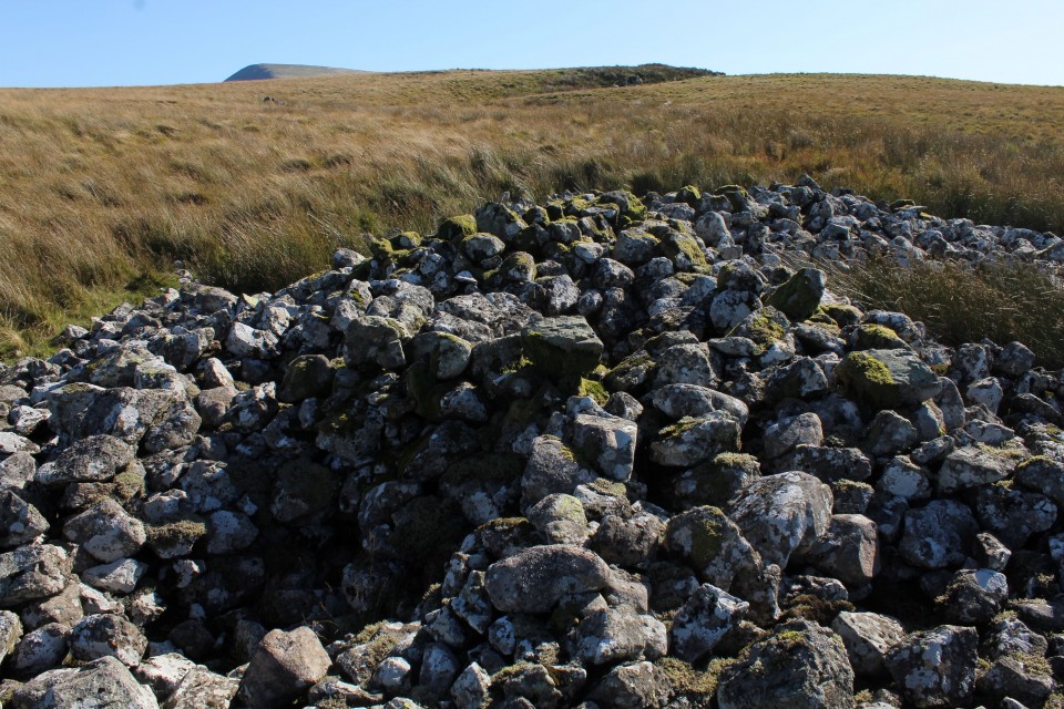
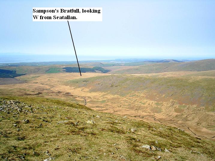
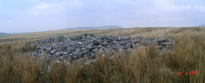
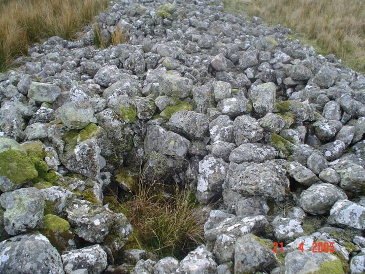
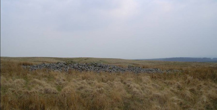
Sampson's BratfullLong Cairn
|
|
|
|
Images (click to view fullsize) |
|


|
Fieldnotes |
|
|
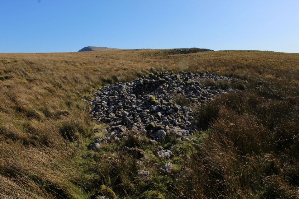
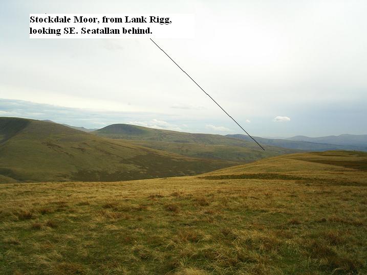
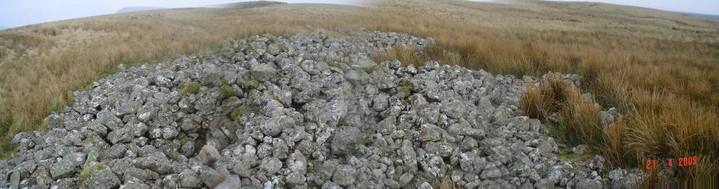
I'm here, the enthusiast has arrived (See Treehuggers fieldnotes). Mr Hugger was right, the walk was not easy. Walking is really overrated, I try to avoid it where ever I can, to that end I drove the car up the very often bumpy farm track, and when that ended and turned into a forestry track I drove up that too. In the end I parked at the south edge of Blengdale forest, by where the map says homestead, saved me a couple of ankle twisting miles, but there was at least four more to come. The walk through the forest was easy enough, a good if up hill track, straight as you like. Until it ends at the River Bleng, where there is no bridge, I doubt the river gets much lower than when I saw it, you could, if fleet of foot stepping stone it across, I turned left and saw a gate across the river which I could shimmy across, you don't get much chance of shimmying these days so I was glad of the opportunity. Once across I walk back down the river until I'm opposite the footpath that brought me to the river, I couldn't find my compass so I'm going on wisdom and blind luck. With the path behind me, map in hand, my hand points north turn slightly right and onward. It's quite steep going up from the river, but it soon levels out. The steepness is now replaced by a wind that definitely has somewhere to be, and that crap kind of tussocky ground/grass, the going was rough and slow, and quite a bit sweary. My predecessor also noted many cairns on the way, he wasn't joking about that either, there is loads of them, surely they can't be all burial cairns, barely a foot high but ten feet across is the average footprint of them, some are in rows, none have a cist surviving. There among the small cairns is the whopper, the big one, The Bratfull that belongeth to Sampson. I don't know when I first heard the name of Sampson's Bratfull (What is a Bratfull?) it was so long ago I don't even know where I heard it, but it's been in my head rattling around like the last grape in the fruit bowl. So in the spirit of getting things done here I am. It's about seventy feet from end to end and aligned I think NW/SE. They could have put it on top of the hill on Stockdale moor, with some good mountain views, but instead they opted for the sea view. I'm now on mission number four of today's equinox jaunt and so far they've all had sea views. I sit for a while in one of the excavations in the long cairn, of which there are three, keeping out of the wind, it's so strong walking on the uneven cobbles of the cairn was dangerous to impossible, and getting knocked about whilst trying to get that higher view by holding the tripod aloft was getting me very angry. I told the wind it was stupid, it didn't care. All too soon it was time to go, not back to the car, but further up the hill where there is a string of three very definite burial cairns, big and crazy with exciting mountain views. |
 Posted by postman
23rd September 2019ce |
|
This is a site for the enthusiast as the walk is not easy but the bonus is there is plenty to see along the way theres a vast assortment of cairns, settlements and other ancient remains. The scenery is absolutely stunning too. |
 Posted by treehugger-uk
6th May 2005ce Edited 10th August 2005ce |