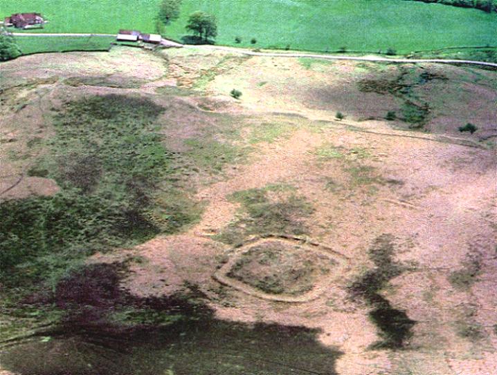
This is a nice well-defined square earthwork, with a good ditch and bank. It has a lovely aspect overlooking Lonsdale.
There are some equally interesting features just a few dozen metres to the north west.
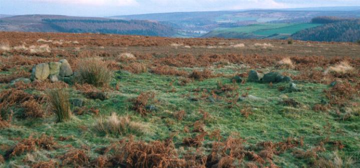
A large ?hut circle. This can be seen as a change in the foliage, there is no bank or ditch but when you see it you'll have no doubts. It is marked by the grass ring and lack of bracken and is 24m across. Close to this is a hut circle that is well defined on a raised bank, most of the bottom course of stone is intact with a few of the second course in-situ. Diameter 10m
"Earthworks with internal ditch and bank are not uncommon in Northern England. The Great Ayton enclosure resembles in plan Studfold Ring near Sproxton but the bank and ditch of the latter are very large in comparison and its date is unknown. The geometry of the enclosure is strikingly similar to that od West Brandon Iron Age enclosure in Durham, but there the ditch was probably on the outside of the bank." Tinkler and Pratt 1978 YAS, 50.
The enclosure appears to have been for pastoral use and has been dated to 100-300BC. The enclosure has had a lengthy period of use, extending into the Roman period. Soil analysis has shown that the surrounding environment was mainly openb grassland at the time of construction.
"These conspicuous earthworks were largely ignored by archaeologists until the 1960's.
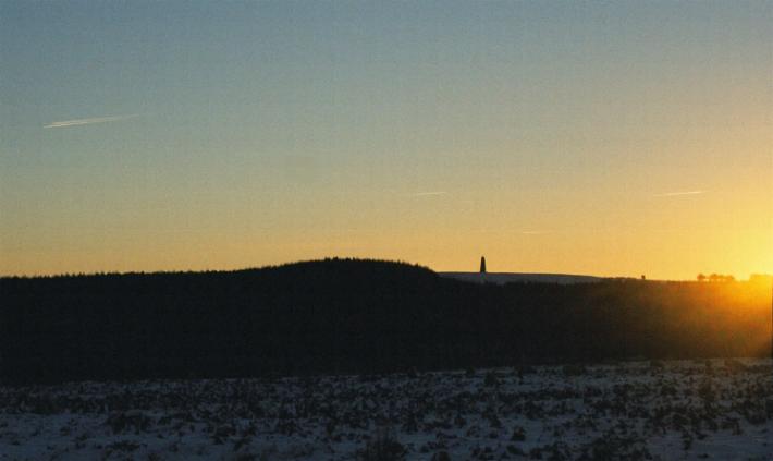
The site looks south-east towards Lonsdale and south-west to the Iron Age fort above Whorlton.
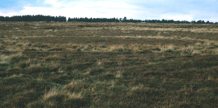
Pollen analysis of the soil beneath the bank of the enclosure shows that, at the time of construction, the countryside round about was open grassland rather than the bracken and heather which overrun the site today. The arable field system near to the enclosure was probably developed at the same time.
The enclosure itself consists of a stoney earth bank and ditch with an entrance half way along it's left hand side. The foundations of a paved hut - of unusual oval shape-were found within the enclosure. There were no post holes-which would have indicated a wooden pallisade-on top of the earthen bank.
Pottery found on the site was dated to 300-100 BC or earlier and indicated occupation into the late Iron Age."
Ancient Cleveland From The Air
Richard Crossthwaite.
Pub. Tees Towing Co. Ltd.

 Posted by fitzcoraldo