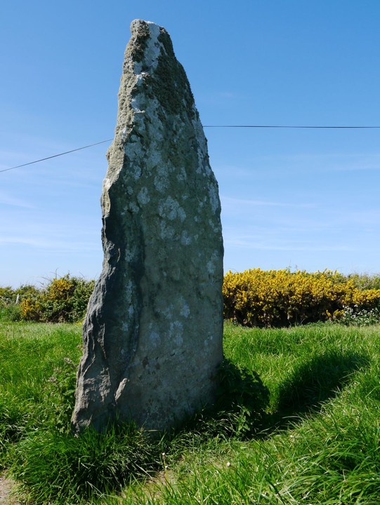
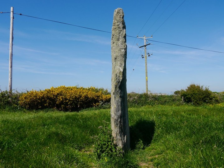
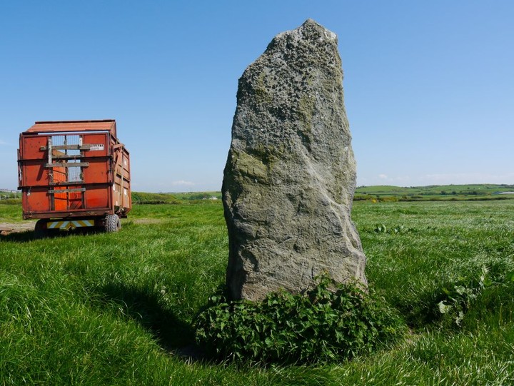
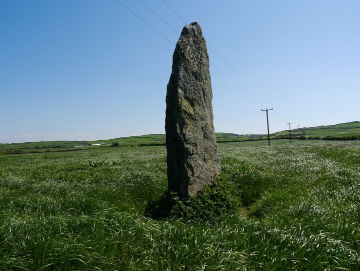
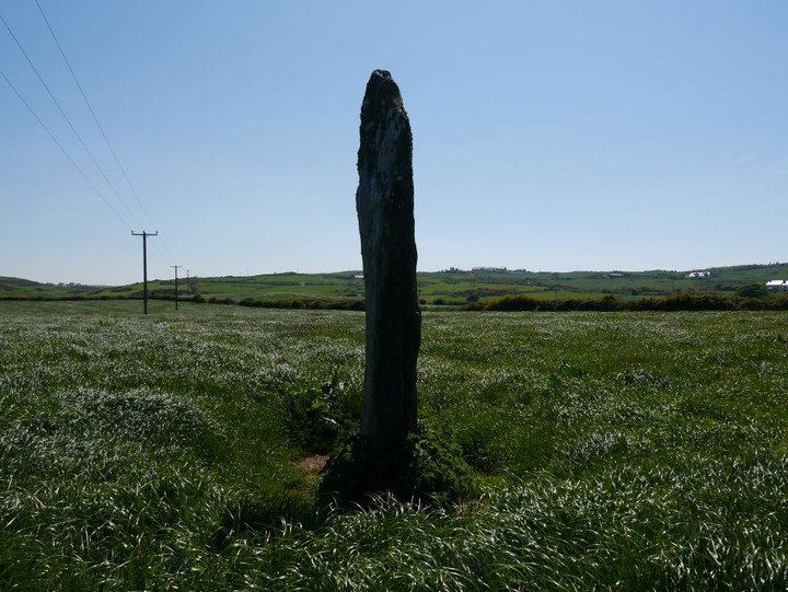
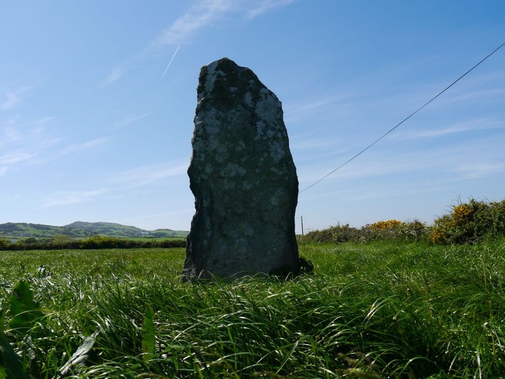
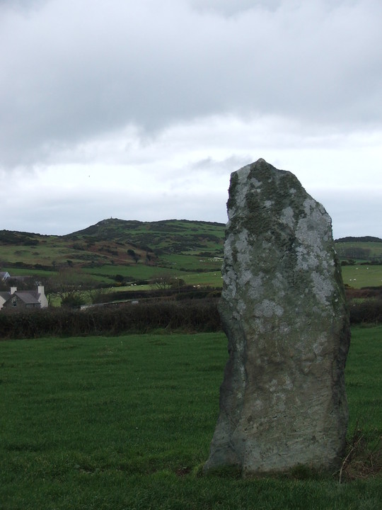
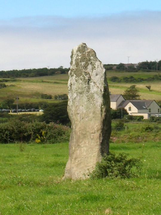
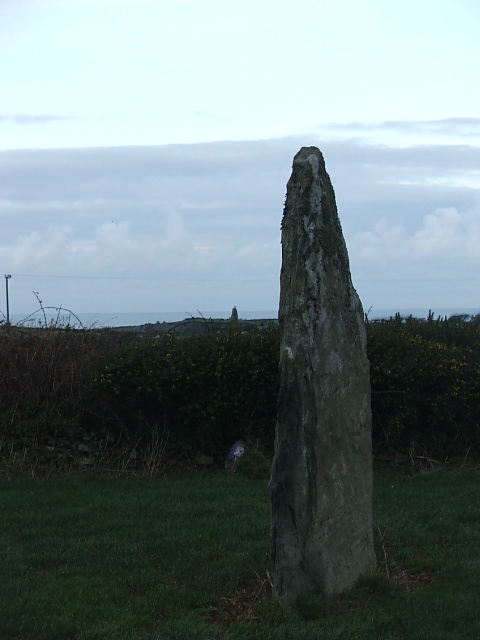
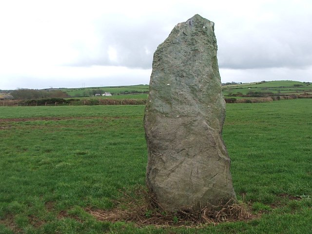
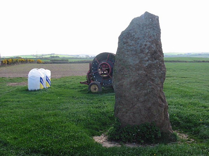
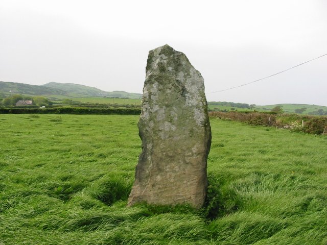
Pen-yr-Orsedd (South)
Standing Stone / Menhir
Pen-yr-Orsedd (South) (Standing Stone / Menhir) on The Modern Antiquarian, the UK & Ireland's most popular megalithic community website. 13 images, 2 fieldnotes, plus information on many more ancient sites nearby and across the UK & Ireland.
Image © Chris Bickerton
Nearest Town: Amlwch (11km ENE) OS Ref (GB): SH333903 / Sheet: 114 Latitude: 53° 22' 58.25" N Longitude: 4° 30' 24" W
Web searches for Pen-yr-Orsedd (South)
Visited 10.9.12
Posted by CARL
No trip to Anglesey seems complete without paying the stones at Pen-yr-Orsedd a visit.
Posted by stubob Edited 22nd April 2003ce