Grey Hill (Shennas) Cairn is difficult to access due to its location in boggy moorland. I deliberately chose a cold day in January hoping for frozen ground underfoot. I would recommend a winter or a dry summer visit.
The access to the cairn is further complicated by the construction of a nearby windfarm which may cause future restrictions. The following route is currently open: Take the unsigned New Luce turn off the straight on the A77 at NX 08557 63769, c. 0.3 miles N of the A751 Innermessan junction. There are traffic cones on the road restricting it to one lane. Follow this road for c. 5.3 miles to reach the disused Penwhirn Filter Station. Continue past the Penwhirn houses for c. 200 yards to a dead-end single track left turn over a bridge. This is the road to Lagafater Lodge. Take this road for c. 1.5 miles to reach NX 12683 71548. There is a grass lay-by on the left at the edge of a forest just before a cattle grid. Walk through the cattle grid then turn right, following a dry stone dyke round the edge of the forest for c. 600 yards to cross a stream at NX 13149 71645, then head NNE across boggy moorland for c. 400 yards towards a green mound. My route is viewable on Grey Hill (Shennas) Cairn.
Wellies, dry weather and persistence are essential for this difficult walk.
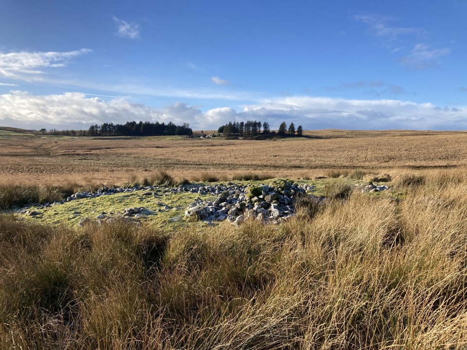
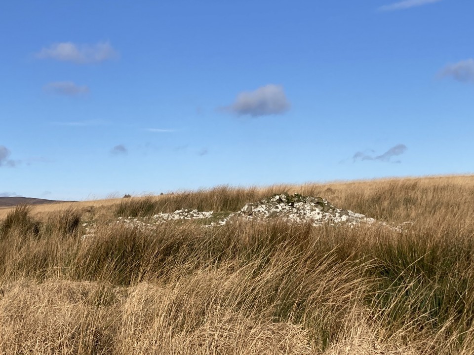
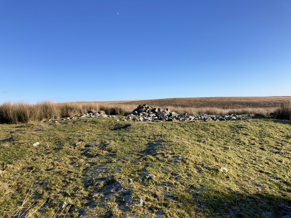
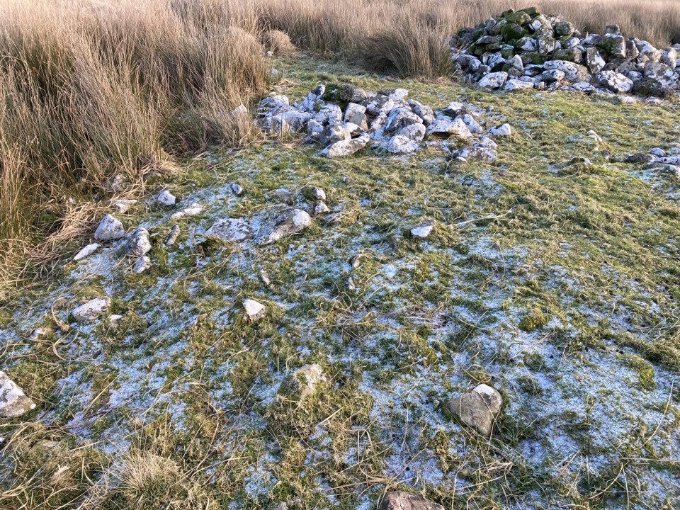
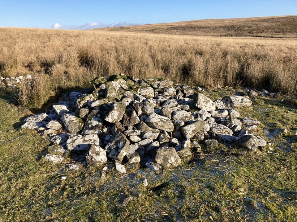
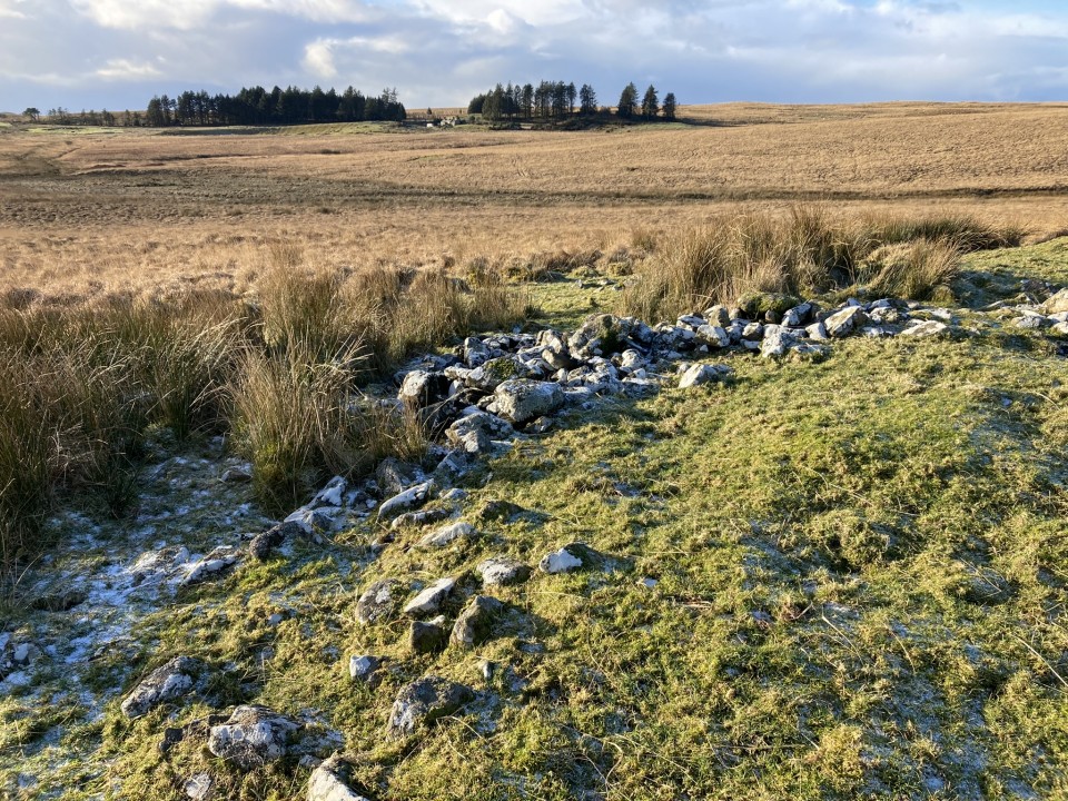
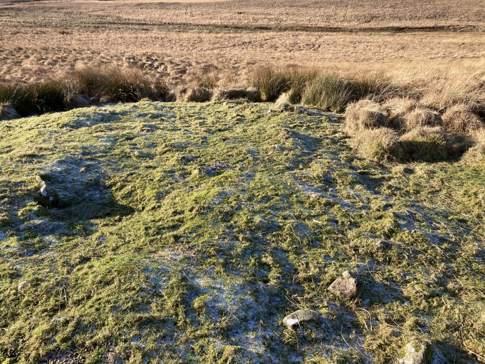
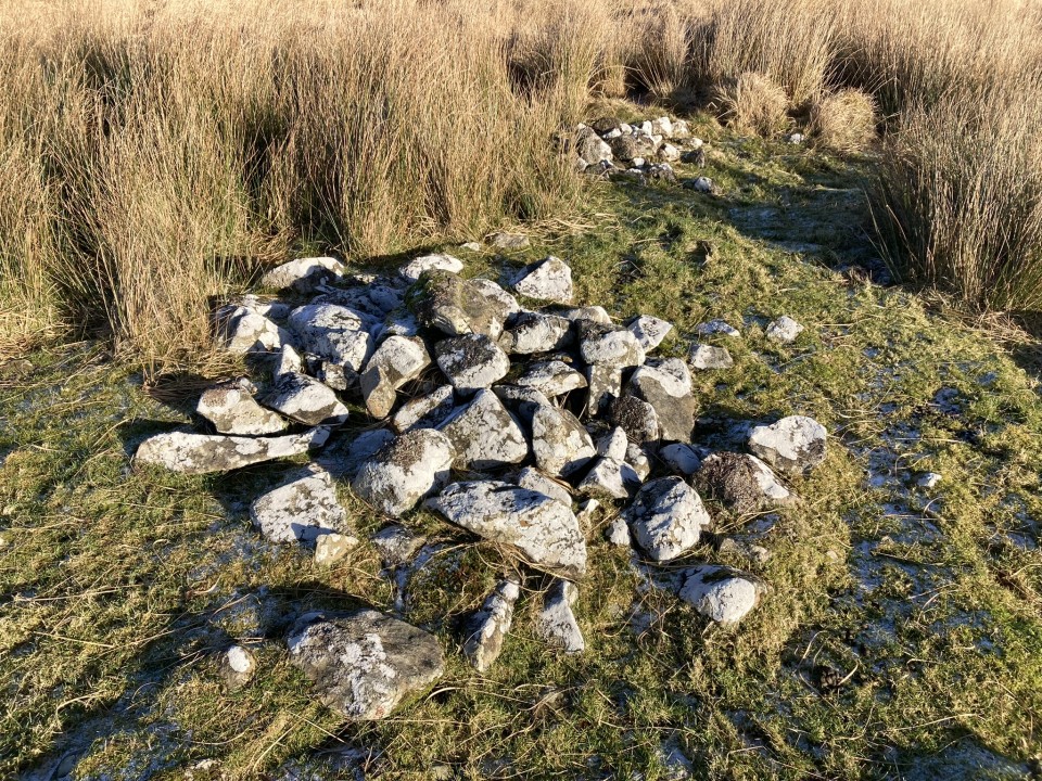
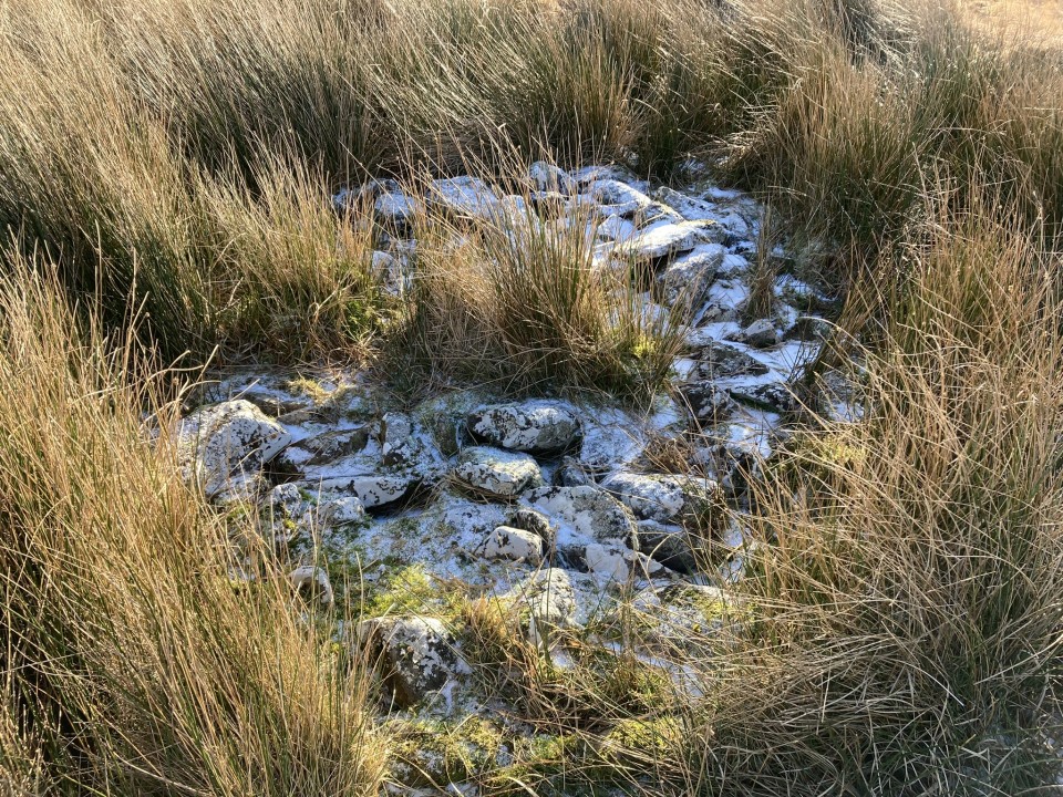
There is a cairn in moorland on Grey Hill c. 1.7 miles N of Penwhirn Reservoir in Dumfries and Galloway. The sub-circular cairn is in an oval grass clearing in open moorland c. 0.5 miles E of the dead-end single track road to Lagafater Lodge. The cairn has been reduced to a grassy mound c. 40 feet in diameter and 2 feet high. There are two deposits of stones on the surface of the cairn. There is a low line of stones c. 4 feet wide and 1 foot high on a N-S axis in the centre of the mound, possibly remains of a wall. On the E arc there is a loose mound of stones c. 9 feet in diameter and 3 feet high. A smaller cluster of stones remain on the NE perimeter. Canmore ID 61937 describes the footings of two shieling bothies on the NW and S sides of the cairn: There is a low platform of stones on the S arc however the NW arc is flat and featureless.