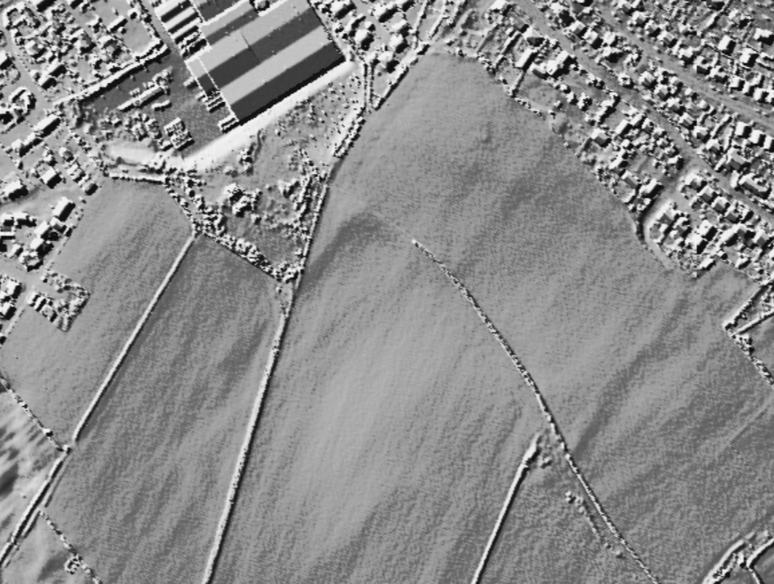
SP 99787222. Thorpe End Iron Age, Saxon and Medieval settlement. Scheduled. The site comprises an Iron Age slight univallate hillfort, and the Thorpe End early Saxon and later Saxon settlement. This site is known as a result of the archaeological survey and excavation carried out as part of the Raunds Area Project. (1)
An Iron Age univallate hillfort and remains of both Saxon and Early Medieval settlements near Thorpe House Farm. The monument lies to the south of Raunds. Remains include ditches, buildings , features and finds revealed through archaeaological survey and excavation. The Iron Age evidence consists of a single ditched enclosure measuring 95 metres by 65 metres containing evidence for a number of circular buildings thereby indicating occupation at some point in this period. From the Saxon to Early Medieval period, 6th century to 1066 AD, the site formed one part of a large settlement. See also the further Anglo-Saxon settlement evidence further to the south west at Thorpe End (TL 07 SW 19).

 Posted by Chance