The Modern Antiquarian
Log in
|
Register
Home
Latest Posts
Forums
Maps
Help
Browse Sites
News
Blog
Contributors
The Books
Select
-
Belgium
Denmark
Eire
France
Germany
Greece
Italy
The Netherlands
Norway
Portugal
Republic of Malta
Spain
Sweden
Switzerland
United Kingdom
England
Southern England
West Sussex
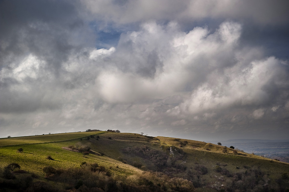
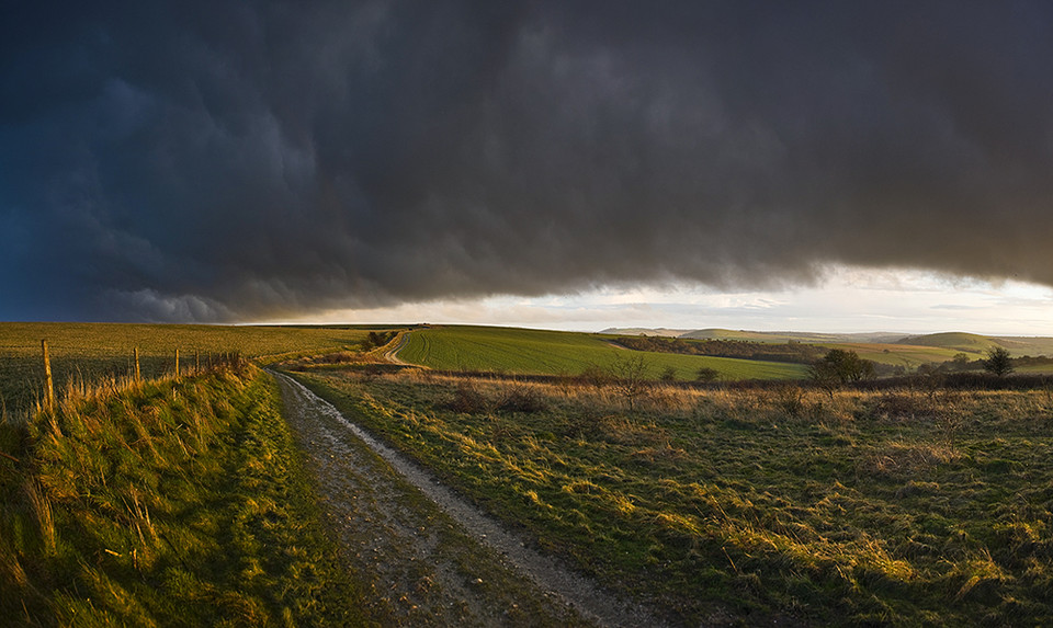
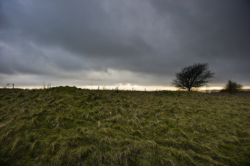
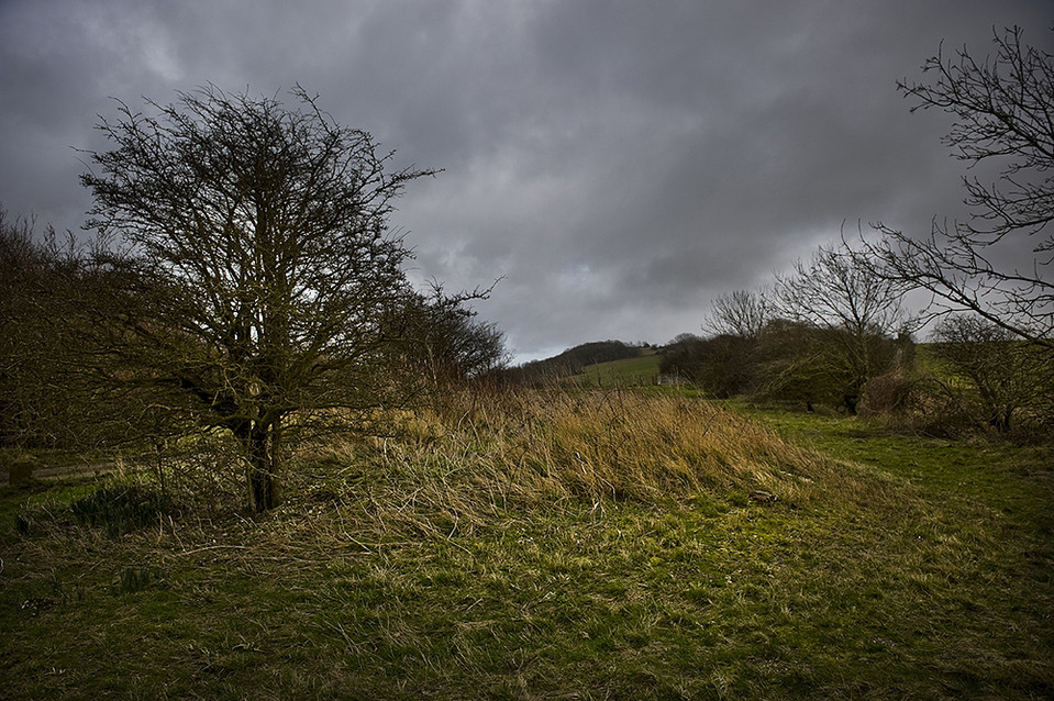
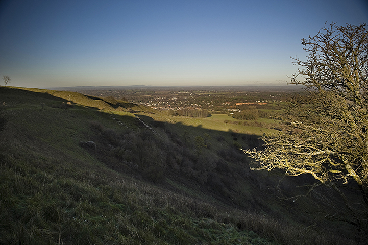
Kithurst Hill
Barrow / Cairn Cemetery
Kithurst Hill (Barrow / Cairn Cemetery) on The Modern Antiquarian, the UK & Ireland's most popular megalithic community website. 10 images, plus information on many more ancient sites nearby and across the UK & Ireland.
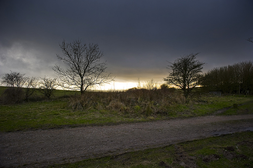
Image © A R Cane
Nearest Town:
Arundel (8km SSW)
OS Ref (GB):
TQ076126 /
Sheet: 197
Latitude:
50° 54' 8.08" N
Longitude:
0° 28' 10.57" W
Added by
A R Cane
Images (10)
0 discussions
Start a topic
Show |
Hide
Web searches for Kithurst Hill
Flickr
Google
Google Images
MAGIC
The Megalithic Portal
Bing
Stone Pages
Streetmap.co.uk
Wikipedia
Show map
(inline Google Map)
- Sites within 20 km -
-
Chantry Hill (1.16km E) (3 posts)
Springhead Hill (1.51km WSW) (5 posts)
Sullington Hill (1.82km E) (5 posts)
Rackham Banks (2.39km W) (9 posts)
Harrow Hill (2.65km SSE) (12 posts)
Sullington Warren (2.68km NE) (8 posts)
The Burgh (3.12km WSW) (5 posts)
Blackpatch Flint Mines (4.11km SE) (5 posts)
Burpham Camp (5.51km SW) (6 posts)
Church Hill Flint Mines (5.6km ESE) (3 posts)
Chanctonbury Ring (6.3km E) (40 posts)
War Dyke (7.64km WSW) (8 posts)
Cissbury Ring (7.86km ESE) (41 posts)
Highdown Hill (8.37km SSE) (19 posts)
Lord's Piece (9.19km W) (11 posts)
Barkhale Wood barrow (9.57km WSW) (2 posts)
Rewell Wood Barrow (9.9km WSW) (3 posts)
Barkhale (9.97km W) (10 posts)
The Steyning Stone (10.22km E) (4 posts)
Steep Down (10.76km ESE) (5 posts)
Glatting Beacon (11km W) (7 posts)
Barlavington Down (11.7km W) (2 posts)
Duncton Down (11.8km W) (1 post)
Lavington Common (14.47km W) (3 posts)
Waltham Down (14.65km W) (7 posts)
Little Bury (15.11km W) (2 posts)
Edburton Hill (15.74km E) (3 posts)
Gallows Hill (15.83km W) (8 posts)
Halnaker Hill (15.83km WSW) (7 posts)
Thundersbarrow Hill (15.84km E) (7 posts)
Boxgrove (16.12km WSW) (11 posts)
Fulking Hill (17.13km E) (1 post)
Rest And Be Thankful (17.18km E) (6 posts)
Heyshott Down (17.51km W) (5 posts)
Brighton bypass Henge (17.77km E) (1 post)
Court Hill (17.88km W) (8 posts)
Devil's Dyke (West Sussex) (18.7km E) (14 posts)
North Hill (19.24km E) (3 posts)
Newtimber Hill (19.34km E) (2 posts)
The Trundle (19.89km WSW) (23 posts)
- Facilities within 20 km -
-
Truleigh Hill (Youth Hostel: 14.8 km E)
Devils Dyke Hotel (Hotel: 18.3 km E)
- Add -
-
Add news
Add an image
Add fieldnotes
Add folklore
Add miscellaneous
Add a link
-
Add a site
Add a nearby facility
Add an alternative name/spelling
Images
(click to view fullsize)
Add an image
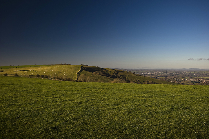
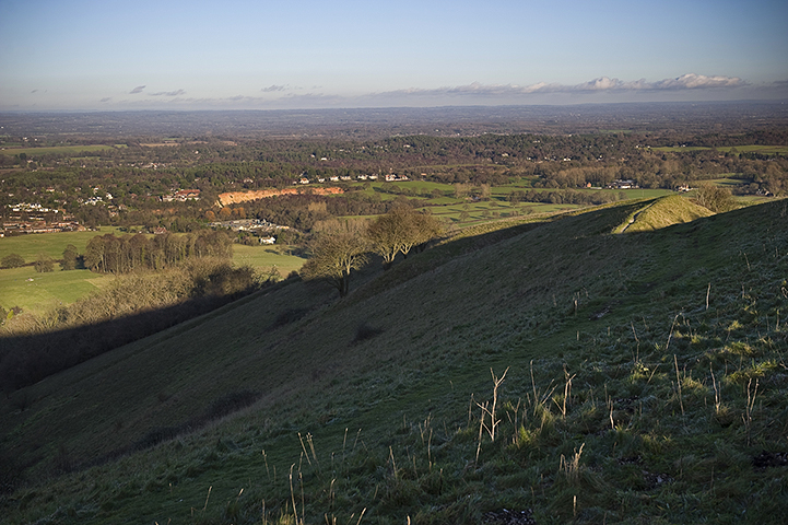
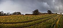 Image © A R Cane
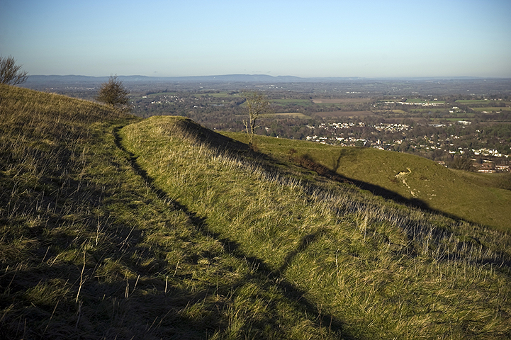