Mynydd Tynewydd
Cairn(s)
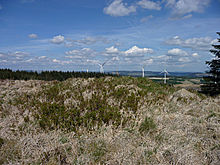 Image © A. Brookes (31.5.2013) Image © A. Brookes (31.5.2013)
|
Also known as:- Y Carn Bica
- Garn Fach (Treherbert)
- Y Garn Bica
| Nearest Town: | | Aberdare (6km NE) | | OS Ref (GB): | | SN943003 / Sheet: 170 | | Latitude: | | 51° 41' 27.51" N | | Longitude: | | 3° 31' 45.71" W |
|
|
Web searches for Mynydd Tynewydd
|
|
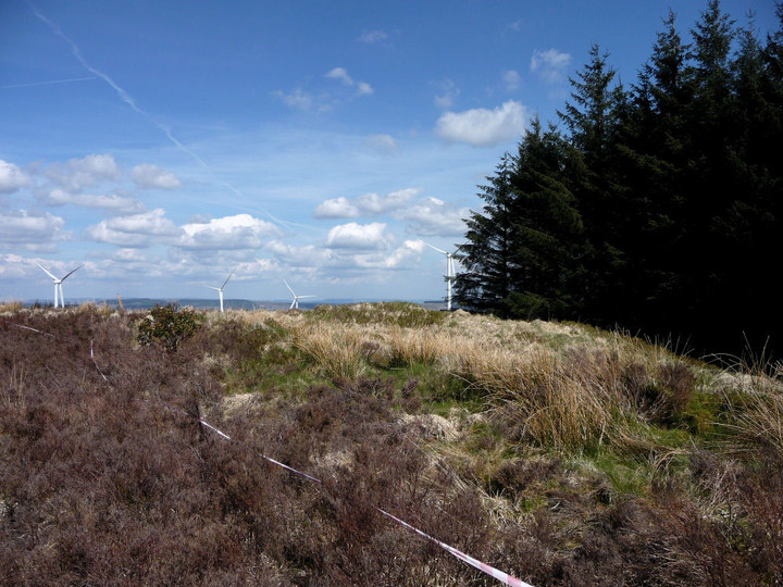
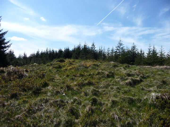
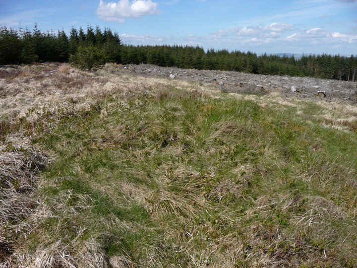
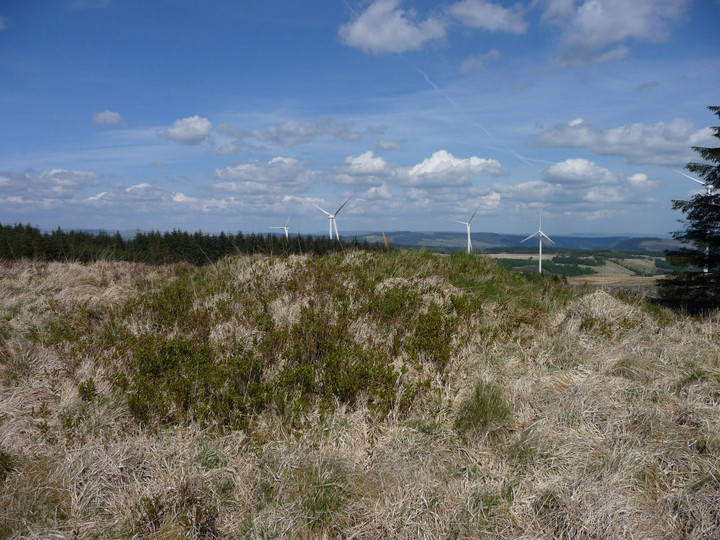
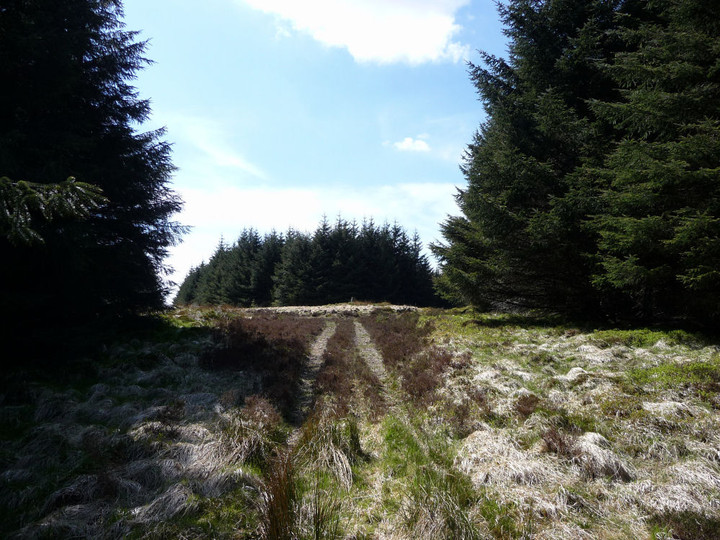
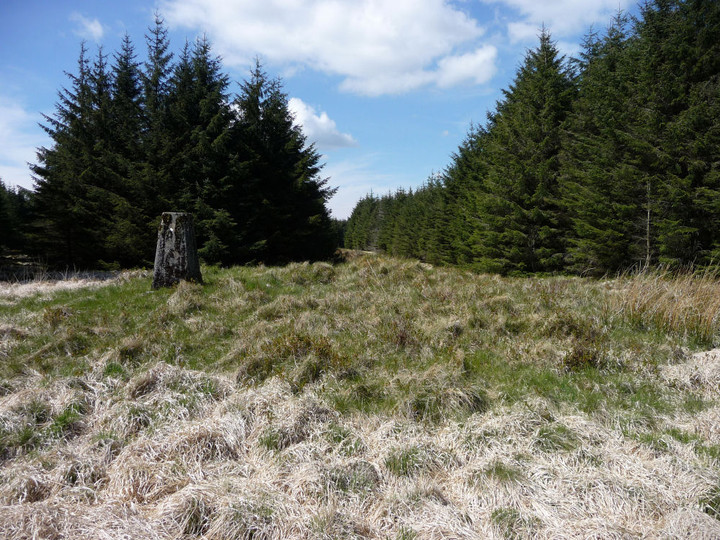
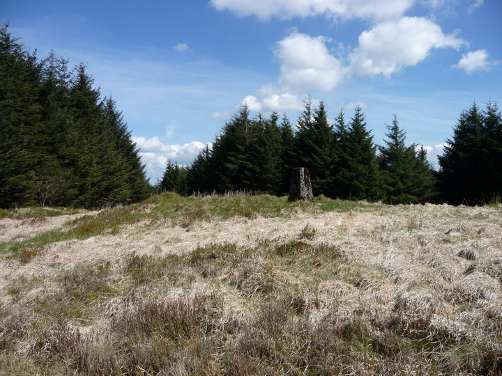
There are two cairns on Mynydd Tynewydd, currently in forestry. One of them, Garn Fach, has not conclusively been shown to be man-made.
Like the cairns on nearby Craig-y-Llyn, they are soon to be surrounded by the construction of the Pen y Cymoedd wind farm.
Coflein details:
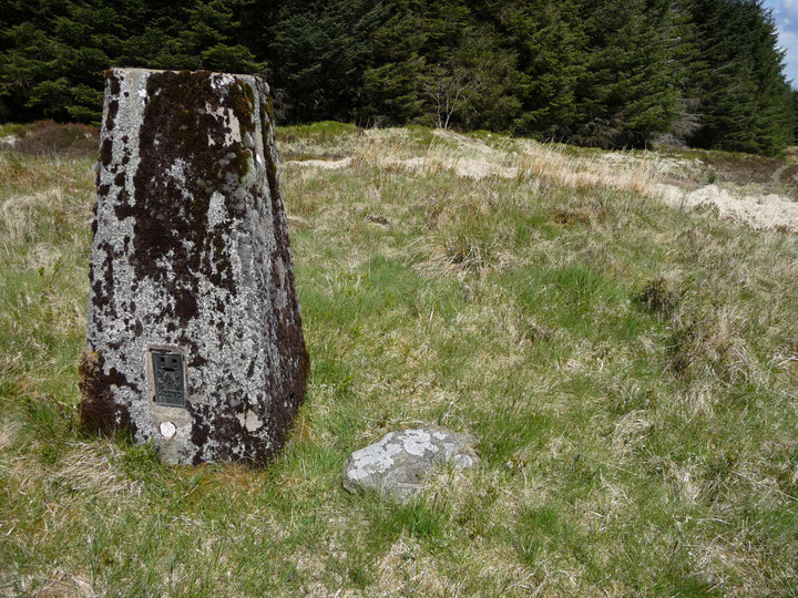
Y Garn Bica (SN94250051)
A boundary cairn, 10.4m high and 0.6m high, robbed and capped by an OS triangulation pillar.
Garn Fach (SN94490009)
A possible cairn, 5.5m in diameter and 0.6m high.
|
 Posted by thesweetcheat
6th June 2013ce
Edited 25th July 2013ce |
|