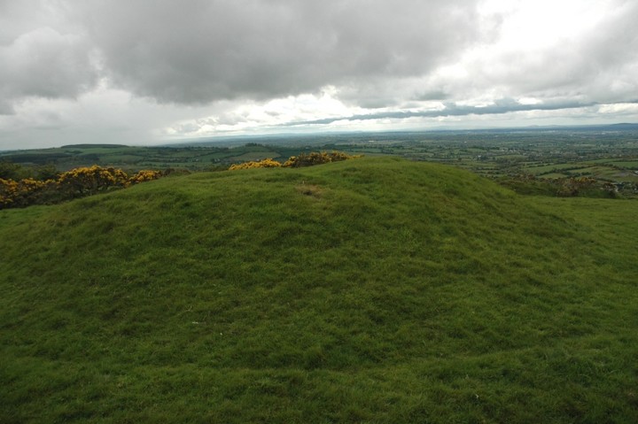
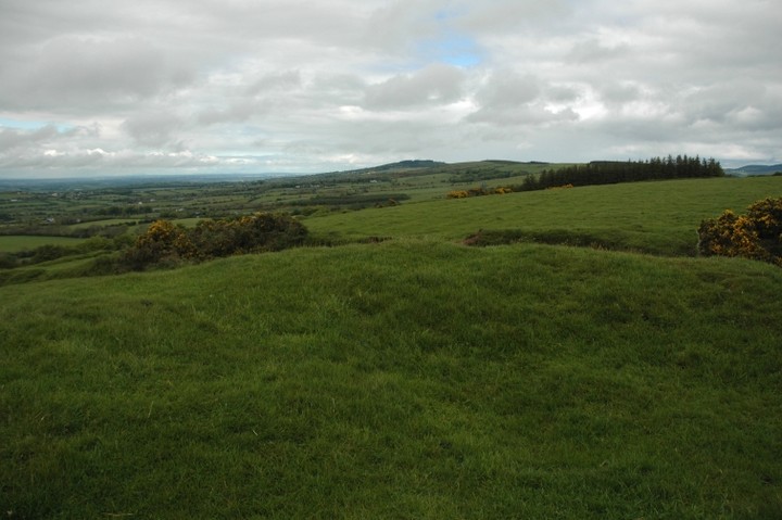
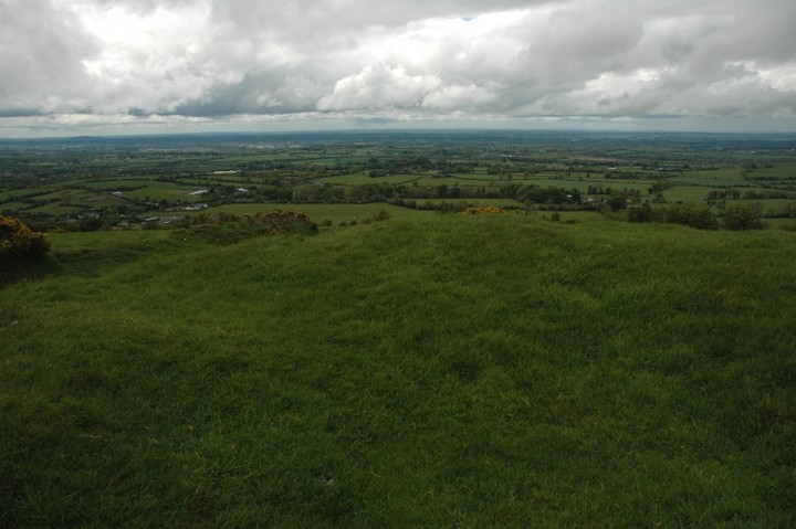
Set just slightly south-west of the peak of a ridged hill this artificial mound is well worth checking out. From the top of the mound there are extensive views to the west, north-east to Saggart Hill and Slievethoul, Seefin, Seefingan and Seahan, east over the Wicklow mountains and Poulaphouca reservoir and south towards Carlow.
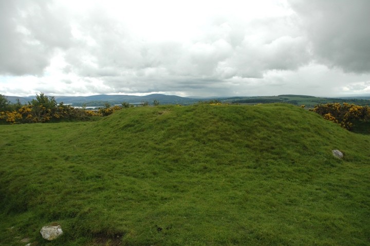
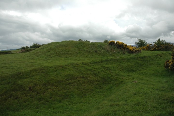
The main focus seem to be towards the west but that could be because the eastern views are partially blocked by the modern hedgerow. The mound rises to about 2 and a half metres. It's been dug out at the top. There is a lone stone embedded into the north side of the mound, a peculiarity that gets you wondering.
Access is easy up the public footpath from the Rathmore to Blessington road.
A possible passage tomb according to Herity. He lists it as Kd 1 in the Inventory section of his book (the other 2, Kd 2 and Kd 3, are both in Broadleas Commons and are highly unlikely candidates for this classification, so this entry must be taken with a pinch of salt).
"This circular hilltop cairn, 18m across, standing at 352m (1154') O.D. A depression on top may indicate that it is a passage grave.
The cairn is marked on the 1839 edition of the Six-Inch Map."
[Mr. P. Danaher]
From Irish Passage Graves: Neolithic Tomb-Builders in Ireland and Britain 2500 B.C.
by Michael Herity
1974 Irish University Press

 Posted by ryaner