The Modern Antiquarian
Log in
|
Register
Home
Latest Posts
Forums
Maps
Help
Browse Sites
News
Blog
Contributors
The Books
Select
-
Belgium
Denmark
Eire
France
Germany
Greece
Italy
The Netherlands
Norway
Portugal
Republic of Malta
Spain
Sweden
Switzerland
United Kingdom
Wales
Powys
Montgomeryshire
Cefn-Cyfronydd
Enclosure
Cefn-Cyfronydd (Enclosure) on The Modern Antiquarian, the UK & Ireland's most popular megalithic community website. 2 images, plus information on many more ancient sites nearby and across the UK & Ireland.
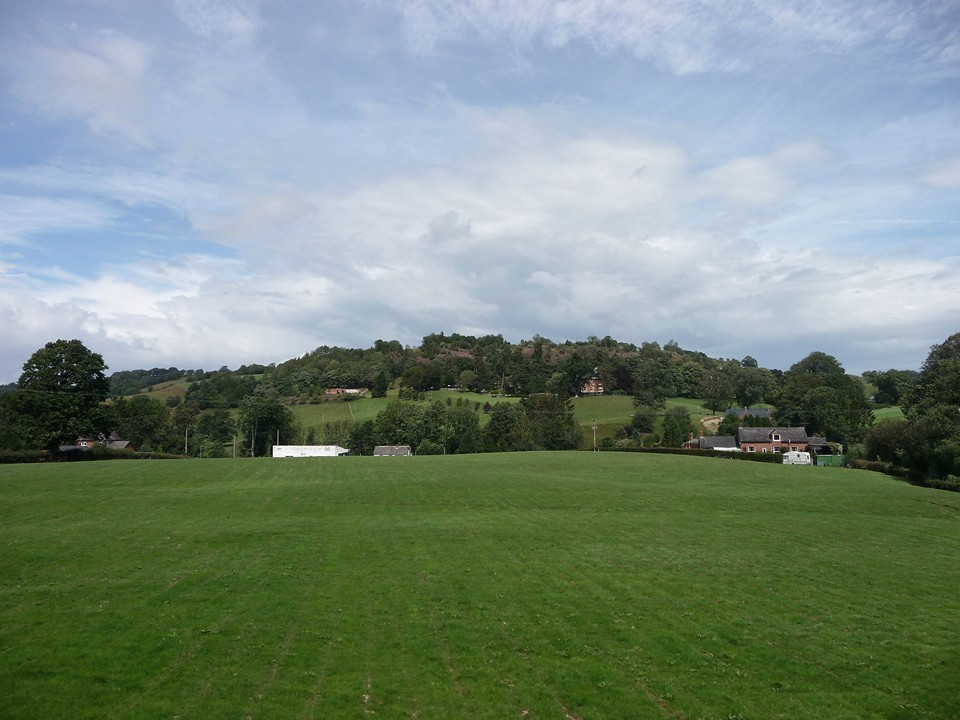
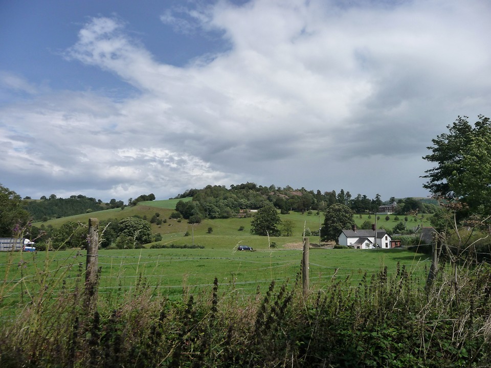
Image © A. Brookes (10.8.2011)
Nearest Town:
Welshpool (8km E)
OS Ref (GB):
SJ14350838 /
Sheet: 125
Latitude:
52° 39' 57.38" N
Longitude:
3° 15' 59.95" W
Added by
thesweetcheat
Images (2)
Miscellaneous (1)
0 discussions
Start a topic
Show |
Hide
Web searches for Cefn-Cyfronydd
Flickr
Google
Google Images
The Megalithic Portal
Bing
Stone Pages
Streetmap.co.uk
Wikipedia
Show map
(inline Google Map)
- Sites within 20 km -
-
Pentre Camp (Llangyniew) (2.87km W) (1 post)
Golfa (3.77km E) (1 post)
Pen-y-Foel (4.26km E) (3 posts)
St Mary's Well (4.41km WSW) (4 posts)
Sarn-y-Bryn-Caled (8.15km E) (2 posts)
Maen Llog (8.16km E) (7 posts)
Cefn-yr-allt (8.18km ESE) (1 post)
Sarn-y-Bryn-Caled (Destroyed) (8.29km E) (3 posts)
Moel Pentyrch (8.79km W) (1 post)
Gaer Fawr (Welshpool) (9.21km ENE) (20 posts)
Dyffryn Lane (9.22km ESE) (3 posts)
Maen Beuno (9.23km ESE) (7 posts)
Llys-y-Cawr, Allt Dolanog (9.31km W) (9 posts)
Y Gaer (Meifod) (9.32km NE) (1 post)
Crowther's Camp (10.78km ENE) (2 posts)
Bwlch y Gistfaen (11.14km WSW) (1 post)
Collfryn (11.86km NE) (1 post)
Black Bank (12km E) (4 posts)
Long Hill (12.18km NNE) (1 post)
Beacon Ring (12.38km E) (15 posts)
Ffridd Faldwyn (13.59km ESE) (12 posts)
Soldier's Mount (14.1km NNE) (1 post)
Carreg Lwyd (14.52km SSW) (3 posts)
Bryn Mawr (15.13km NE) (3 posts)
Pen Cad Cymry (15.38km W) (1 post)
Foel Cairn (15.86km W) (1 post)
Beechfield (15.86km E) (2 posts)
Llyn Y Tarw (15.93km SW) (7 posts)
Crosswood (16.25km NE) (6 posts)
Breiddin Hill Camp (16.25km ENE) (11 posts)
New Pieces Enclosure, Breiddin Hill (16.34km ENE) (4 posts)
Maes Mochnant (16.42km NNW) (15 posts)
Llwyn Bryn Dinas (16.57km N) (11 posts)
Y Capel (16.61km WSW) (12 posts)
Cefyn y Castell (16.83km ENE) (21 posts)
Carreg-y-tair Eglwys (16.85km WNW) (1 post)
Llyn Mawr (17.23km SW) (3 posts)
Glonc (17.33km SW) (3 posts)
Carreg Hir (17.33km SW) (15 posts)
Cerrig-yr-Helfa (17.39km W) (2 posts)
Lluest Uchaf (17.45km SW) (18 posts)
Llymystyn Camp (17.56km W) (2 posts)
Llanrhaeadr-ym-Mochnant (17.7km NNW) (4 posts)
Carnedd Das Eithin (17.98km WNW) (0 posts)
Llyn Mawr (17.99km SW) (9 posts)
The Rossett (18.17km ESE) (5 posts)
Llanymynech Hill (18.22km NE) (13 posts)
Brynar and Riddle (18.27km SSE) (1 post)
Carnedd Gerrig (18.52km WNW) (8 posts)
Castle Ring (Rorrington) (18.68km E) (2 posts)
Blaen y Cwm (18.79km WSW) (3 posts)
Mitchell's Fold (18.85km E) (117 posts)
Mitchell's Fold cairn (18.94km E) (5 posts)
The Cow Stone (19.02km E) (9 posts)
Blodwel Rock (19.02km NE) (7 posts)
Mynydd-y-Bryn (19.07km NNE) (0 posts)
Siglem Las (19.11km WNW) (0 posts)
Afon y Dolau Gwynion (19.16km WNW) (14 posts)
Whetstones (19.2km E) (5 posts)
Stapeley Hill (19.23km E) (17 posts)
Caus Castle (19.32km E) (14 posts)
Whetstones Cairn (19.34km E) (4 posts)
Pant Brwynog (19.48km ESE) (2 posts)
Corndon Hill (19.88km ESE) (47 posts)
The Hoarstones (19.88km E) (58 posts)
- Facilities within 20 km -
-
Welshpool Tourist Info... (Tourist Information: 8.3 km E)
Lake Vyrnwy Tourist In... (Tourist Information: 16.7 km WNW)
- Add -
-
Add news
Add an image
Add fieldnotes
Add folklore
Add miscellaneous
Add a link
-
Add a site
Add a nearby facility
Add an alternative name/spelling
Images
(click to view fullsize)
Add an image
Miscellaneous
Add miscellaneous
Coflein description of hillfort/defended enclosure:
A subrectangular enclosure, c.113m by 80m, defined by scarps fronted by a possible ditch above steep natural slopes to the NW, elsewhere by two fragmentry lines of ramparts and ditches.
Comments (0)
|
Add a comment
|
Permalink
Posted by
thesweetcheat
18th August 2011ce

 Posted by thesweetcheat