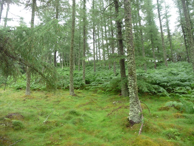
After visiting Inverugie cairn I went south on the B9013 and taking complete leave of my senses left my car at Easterton Farm on the B9013 walking the rest to the Knock Of Alves. Continue to the A96, head a small way east, then cross carefully to the minor road opposite. (Traffic here is fairly horrendous because of the Fochabers and Mosstodloch bypass just east of Elgin) Walk a few meters down the road then turn south along the farm track to Burnside Farm for about 3/4 mile. At this point take the track west, look uphill and York Tower can be seen. Keep going past the quarry, taking the track north climbing a dry stane dyke.
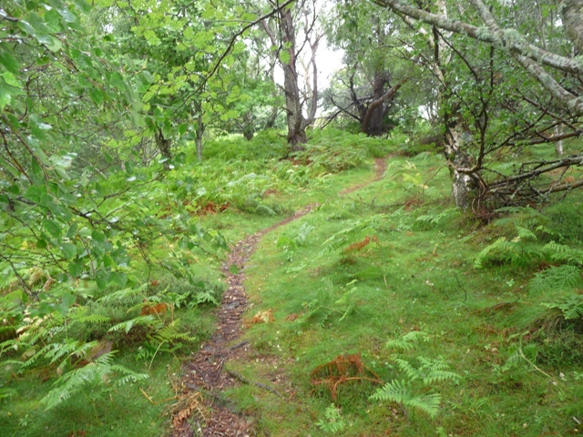
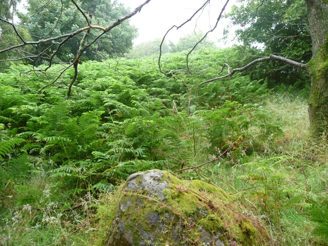
At this point a rarely used path can be seen winding up the hill. This leads to the fort's interior, any remnants, see links, that might be seen are covered in ferns. But this must have the perfect place for a fort, if the trees hadn't been there the views would be beautiful, however the trees add to the atmosphere which by now was becoming very warm and humid.
That of old, all those of any publict spirit in the parioch specially the gentlemen conveened upon St. Stephens day if lawfull, and failzeing thereof the next lawfull day at the Knock of Alves, with their best horse and armes, and ran there races westward two miles and 1/2 of distance ending at the Kairne of Kilbuyack.
From 'Geographical Collections Relating to Scotland made by Walter MacFarlane' by Sir Arthur Mitchell, v1 (1906). MacFarlane originally published it in 1748. http://www.archive.org/stream/publicationssco06socigoog#page/n29
St Stephen's day is the 26th December should you wish to recreate the racing. Maybe the cairn is the ruined 'Moray Cairn' at NJ 1106 6147?

 Posted by Rhiannon