|
|

|
|
Pen-Twyn Camp (Crucorney)Hillfort
|
||||||||||||||||||||||||
|
|
|
Images (click to view fullsize) |
|
|
Fieldnotes |
|
|
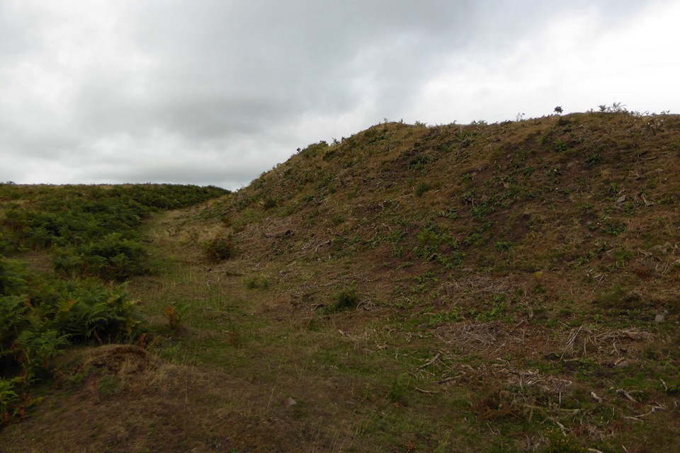
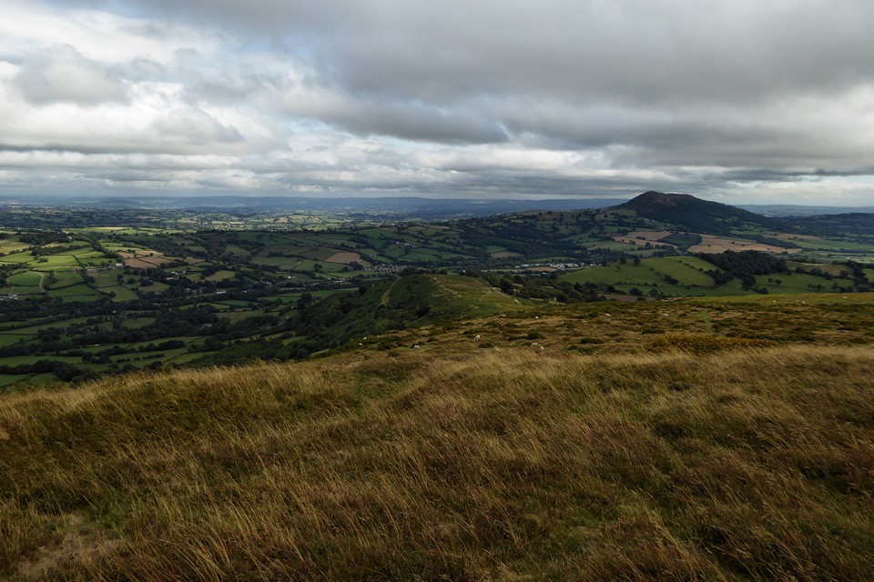
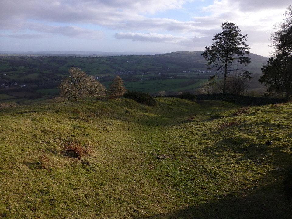
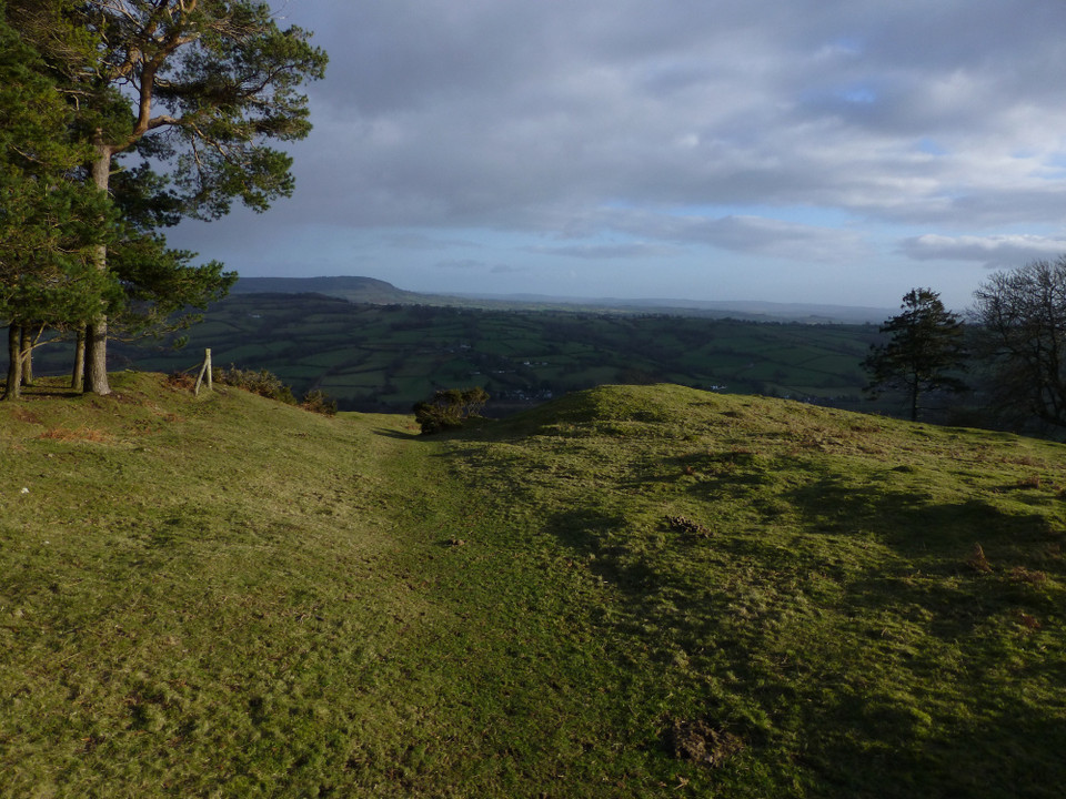
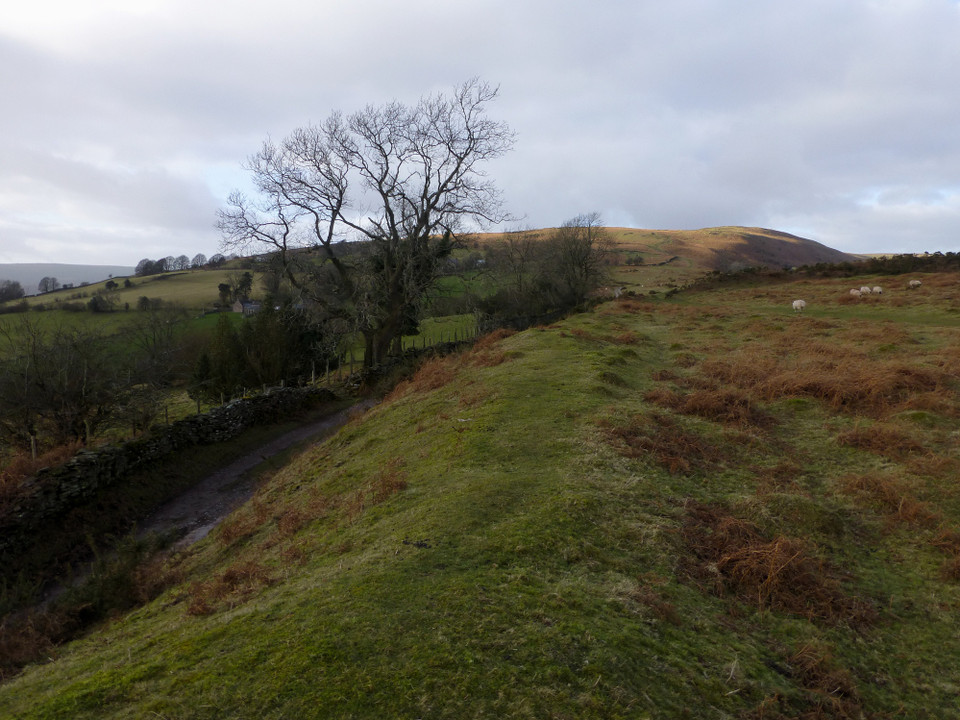
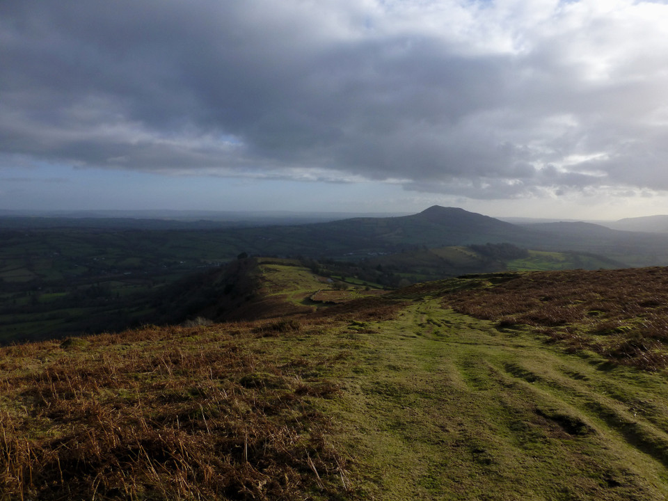
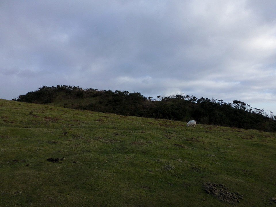
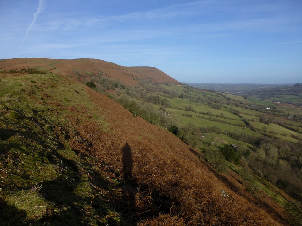
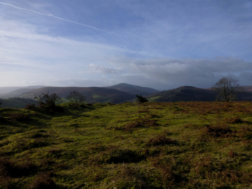
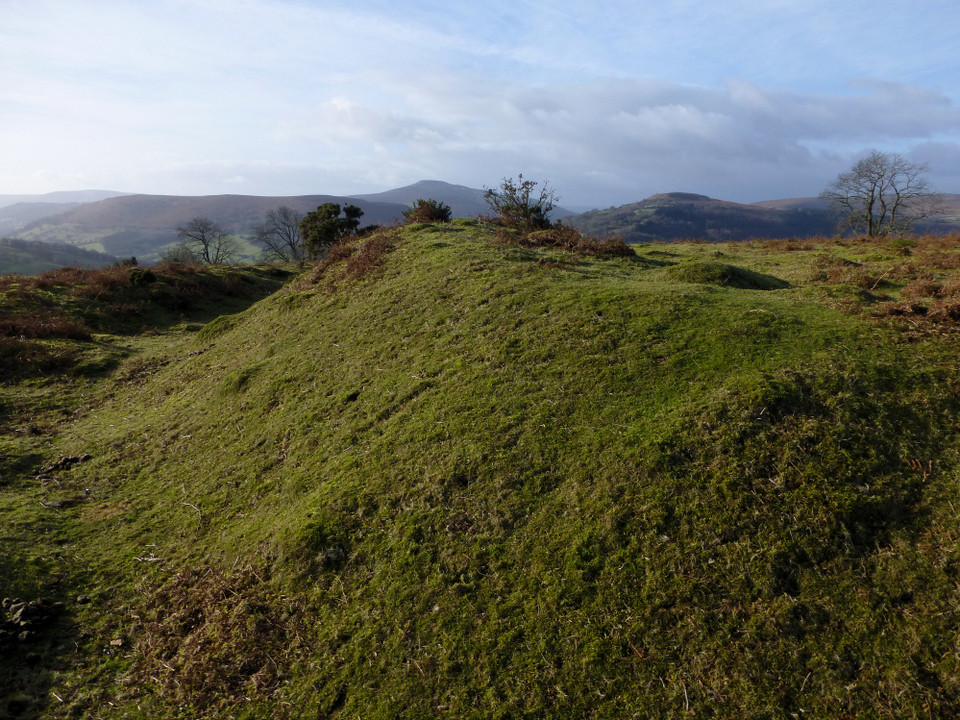
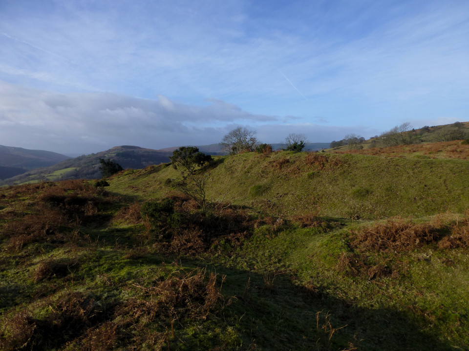
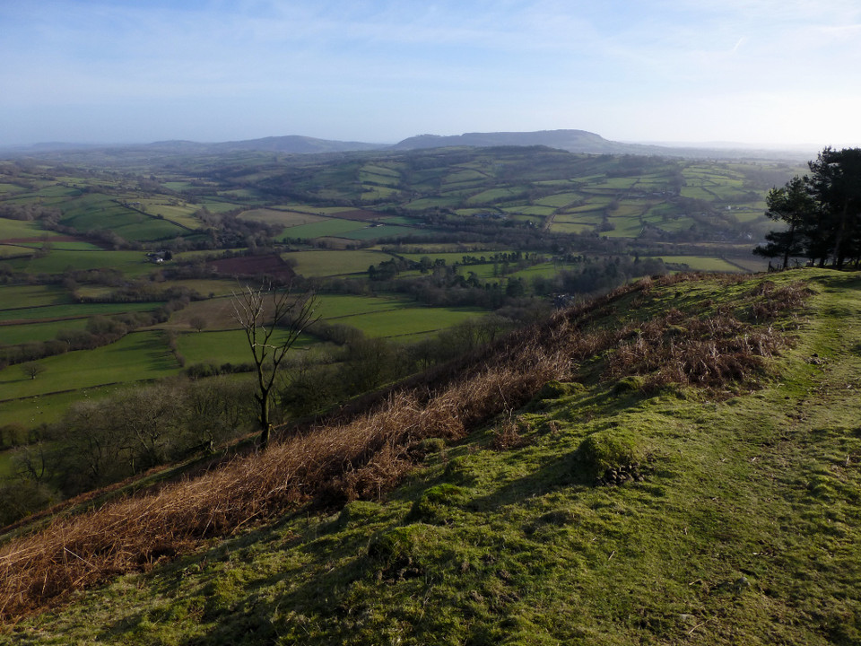
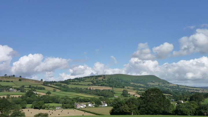
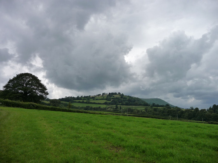
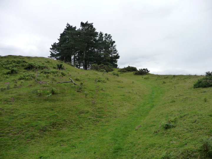
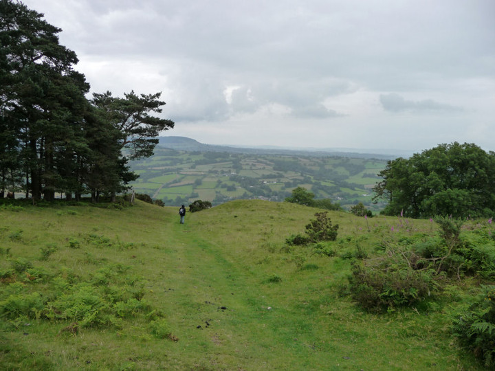
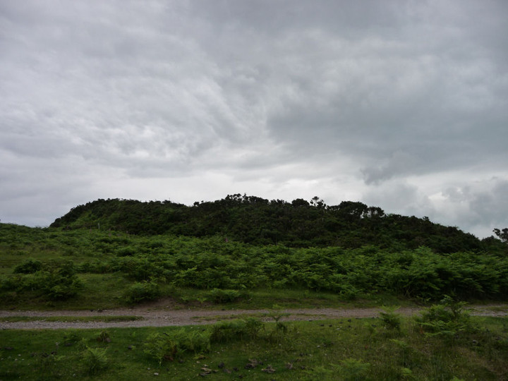
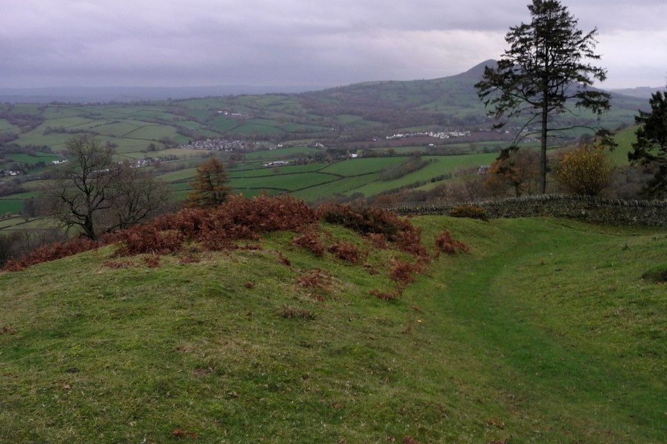
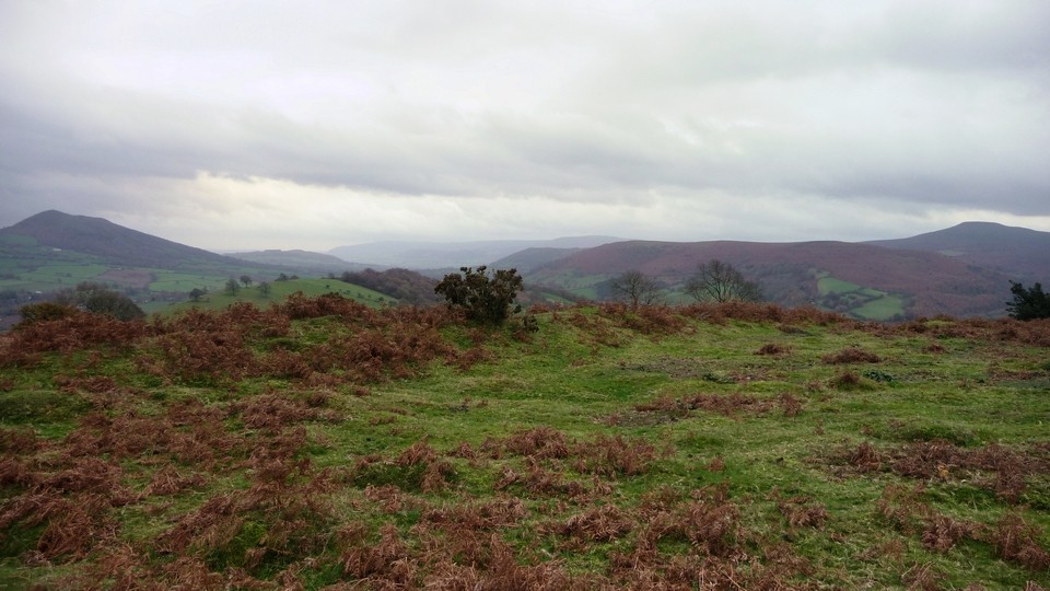
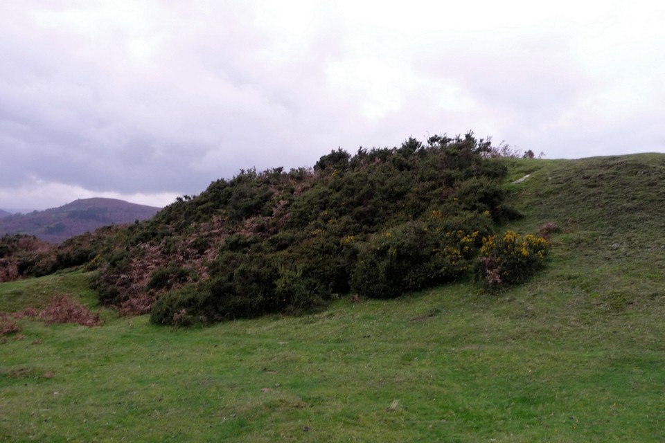
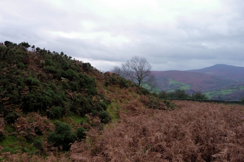
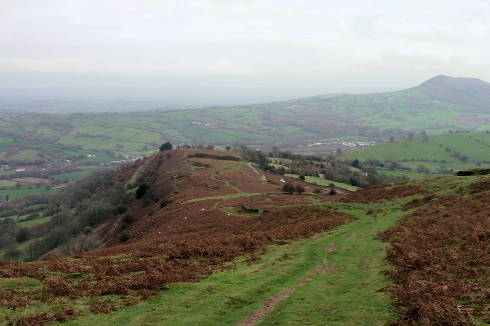
Visited 21.8.11 When visiting a site there are often two ways to approach it – the hard way or the easy way. Needless to say that this is yet another example where I picked the hard way! I approached from the minor road to the south west, only to find the road east (near the pub) signposted 'unsuitable for vehicles. This required a longer walk to the Hillfort than I had planned. Much to Karen's credit she said she didn't mind waiting in the car with the children whilst I traipsed across country – what a woman! It was a lovely summer's day and although it took 25 minutes to reach the Hillfort it was a pleasant walk in the warm sunshine. By the time I reached the Hillfort it was clear that if I had approached from the south east I could have driven literally right to the site! (There is a small place to park next to the yellow grit boxes – beyond the entrance to Lower Pentwyn Farm). You then pass through a wooden gate and an information board which tells you all about Hatterall Hill although there is no specific mention of the Hillfort. The board also states that you are now entering common land – so access is not a problem. Although the whole site is covered with ferns the ditch and rampart of the Hillfort was easy enough to see. The path through the wooden gate actually runs alongside the western defences and here the rampart is about 3 metres high – elsewhere it is between 2/3 metres. There are wonderful views to be had and it was lovely standing there in silence, amongst the foxgloves, with only a couple of birds of prey hovering overhead for company. This is indeed a great hobby of ours – and other than petrol – free! Well worth a visit when in this pretty part of the world. |
Posted by CARL 22nd August 2011ce |
Miscellaneous |
|
|
Coflein has the following description for the fort: A subrectangular enclosure, c.140m by 70m, defined by a bank and ditch; before the SE facing entrance is a sub-oval area, c.185m by 104m, multivallate away from the steep natural slopes to the NE, which both enclosures rest upon. |
 Posted by thesweetcheat
21st November 2011ce Edited 21st November 2011ce |