The Modern Antiquarian. Stone Circles, Ancient Sites, Neolithic Monuments, Ancient Monuments, Prehistoric Sites, Megalithic MysteriesThe Modern Antiquarian


Knockshanahullion

Cairn(s)

<b>Knockshanahullion</b>Posted by bawn79Image © Bawn79
Nearest Town:Clogheen (3km N)
OS Ref (IE):   S000105 / Sheet: 74
Latitude:52° 14' 46.9" N
Longitude:   8° 0' 0" W

Added by bawn79


Discussion Topics0 discussions
Start a topic


Show  |  Hide
Web searches for Knockshanahullion
Show map   (inline Google Map)

Images (click to view fullsize)

Add an image Add an image
<b>Knockshanahullion</b>Posted by bawn79 <b>Knockshanahullion</b>Posted by bawn79 <b>Knockshanahullion</b>Posted by bawn79 <b>Knockshanahullion</b>Posted by bawn79 <b>Knockshanahullion</b>Posted by bawn79

Fieldnotes

Add fieldnotes Add fieldnotes
According to Mountainviews Knockshanahullion means 'hill of the old holly' or 'hill of the old steep slope'.
Thankfully its an easy climb compared to Temple Hill. Knockshanahullion is readily reached the road at R 983 089. Incidentally, this road at 450m is easily the highest of the passes across the Knockmealdowns. Follow the Avondhu Way until you come to Knockclugga.
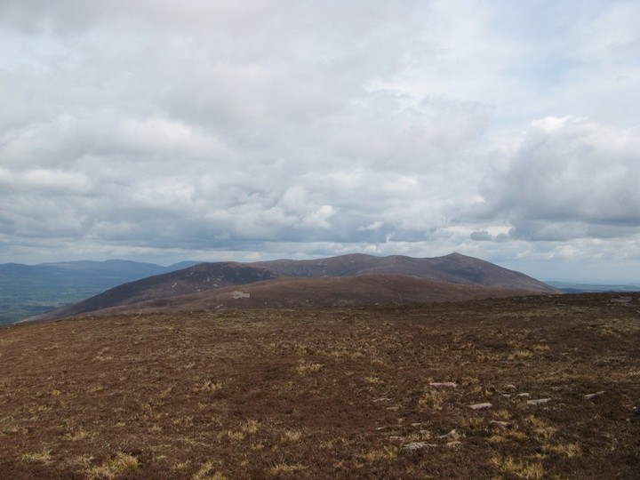
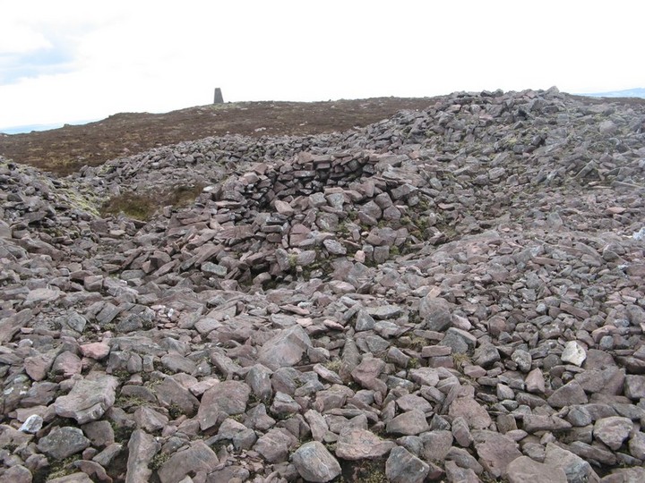
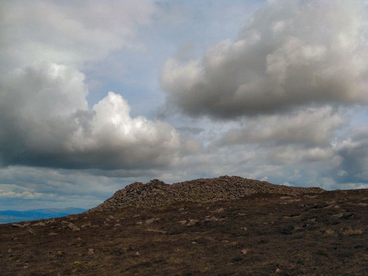
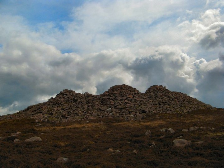
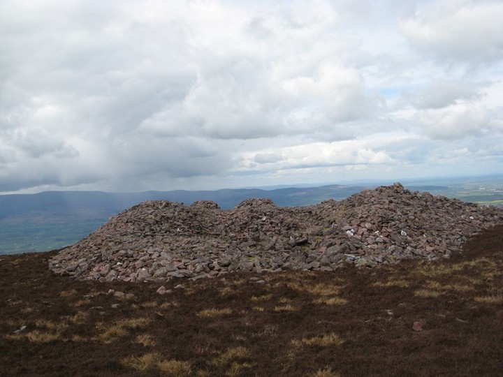
The cairn itself has really been tampered with a number of shelters in it now. Its bigger than the cairn on Temple Hill. It cant be seen from directly below but only from a few miles either side. To the south you can see out to sea.
The cairn is maybe 4m high with a diameter of 20-30m. I think with the amount of digging into the cairns middle it is unlikely that it could still contain a passage.
bawn79 Posted by bawn79
8th May 2008ce