|
  
|
Btw, Bateman was somehow mistaken, the passage beneath the rocking stone is nowhere near big enough to pass animals through, yeah at the front of the stone there's a rather large opening but it narrows down to almost nothing at the back, no way could you safely pass a baby through unless you had octopuss arms and a couldn't care less attitude to your young uns.
Ok prod a piglet with a pointy stick and it would make it through i admit but it's not practical to do so on any scale.
My Jack Russel could do it at a squeeze if i stood the other side with a nice bit of meat to temp her.
: )
|

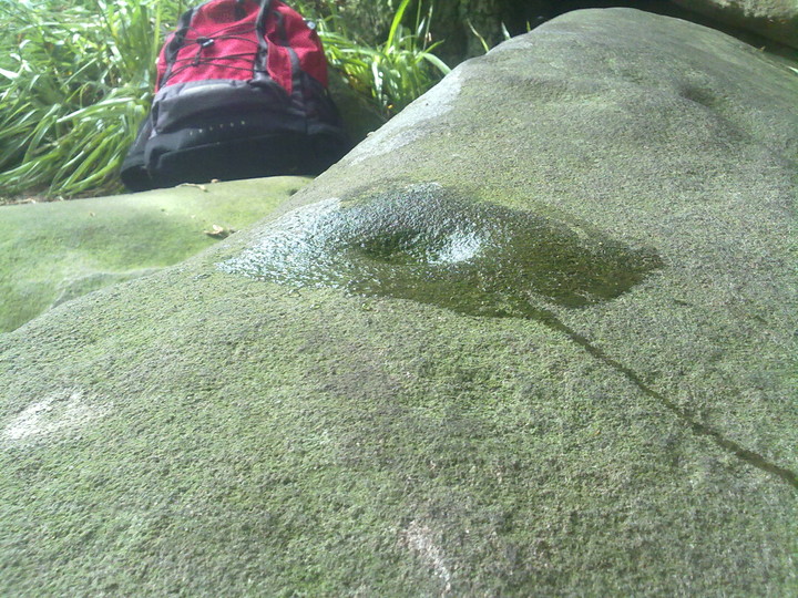
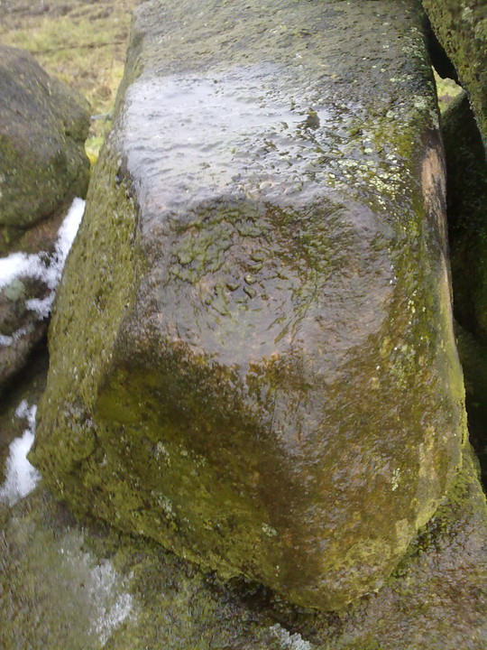
Found another "cup mark" after searching the tor for a good few hours.
I credit it to Thomas Eyre along with the other carvings i found. ; )
|

|
Imo all the markings are natural, for what it's worth.
Sorry.
|
  
|
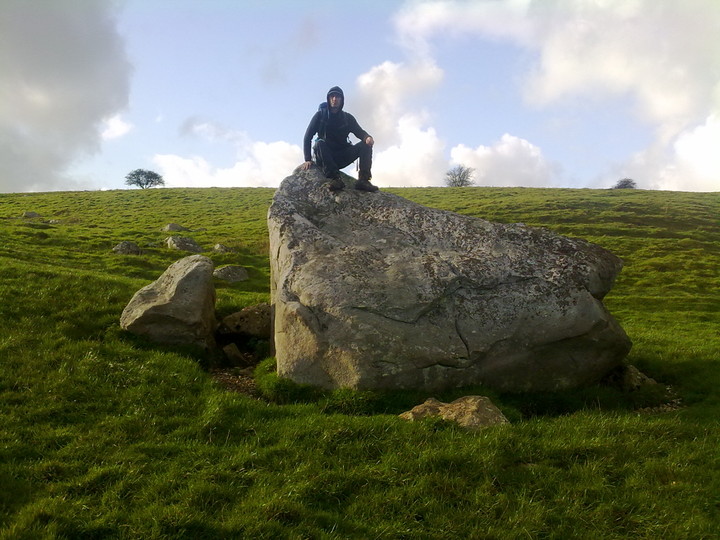
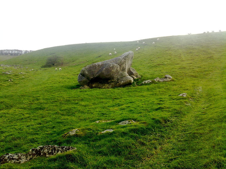
A stone similar in size to the Avebury stones that lays on top of of the earth to the side of the sarsen drift at the bottom of a natural ramp leading up to the high point of the down in the direction of Avebury.
It's said it may have been destined for Avebury but never made it for some reason.
For me it's a stone of significance due to it's size, location and the story attached to it, it's also the largest surviving (non buried) stone in that area, though a few lumps have been knocked off it.
Follow the Herepath up to the ridgeway, enter Fyfield down via the gate then carry on till you cross the gallops, follow the path into the valley then turn right following the course or the sarsen drift, to the right of the drift you'll easily spot the Monster stone, to me it looks rather like a giant frog, well from a distance anyway.
|

|

|
 
|

|
 
|
 
|
 
|
 
|
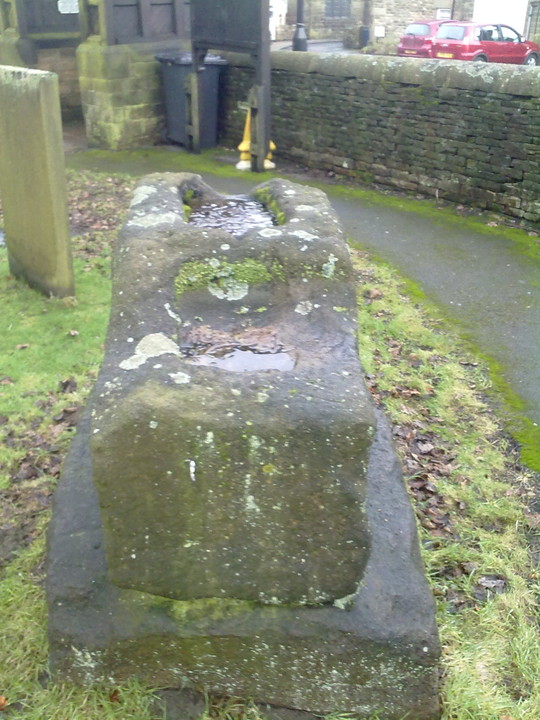
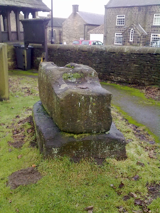
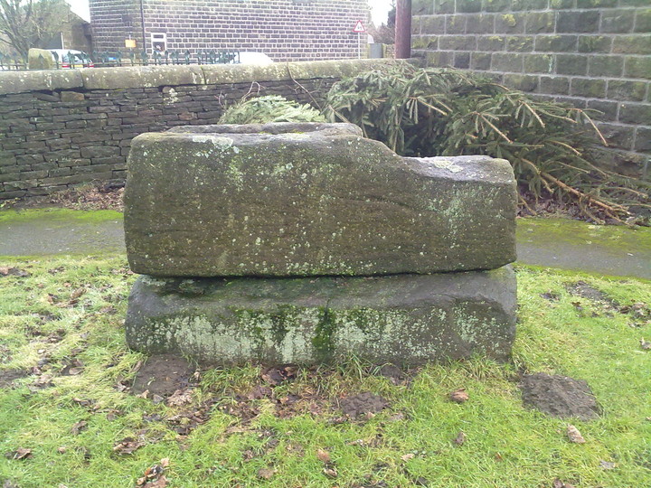
Located within the grounds of Saint Mary's church in the tiny village of Bolsterstone, the two stones lay recumbent, one on top of the other and are said to be the base of two Saxon crosses now long gone, sockets are still visible in the uppermost stone.
The stones once stood in the centre of the village probably on the village green and are thought to have been moved to their current position in the 19th century for safekeeping.
The stones are just inside the church yard through the lych gate, the main entrance, and can be viewed at any time.
|
  
|
Parsonage farm trail.
Described as late neolithic or early bronze age here.
|

Described as the burial place of king Walder here and dated as Saxon.
|
  
|
What an intriguing place.
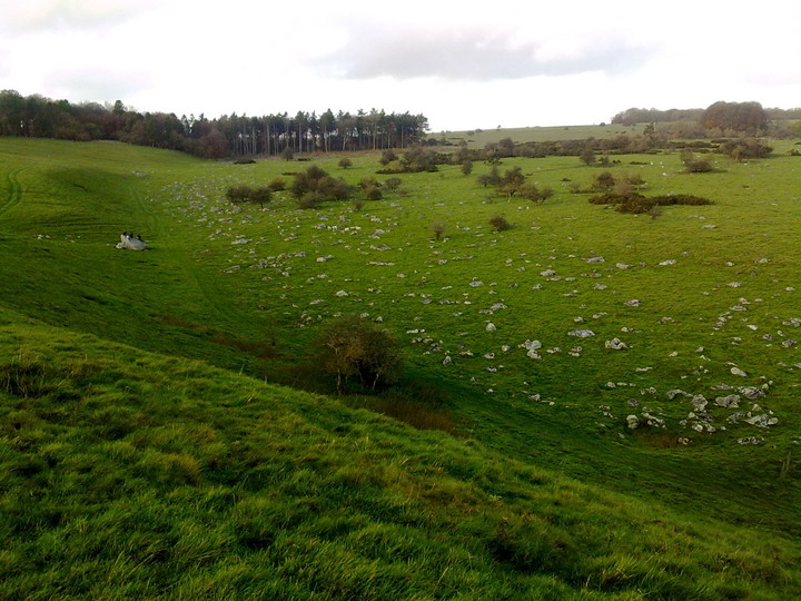
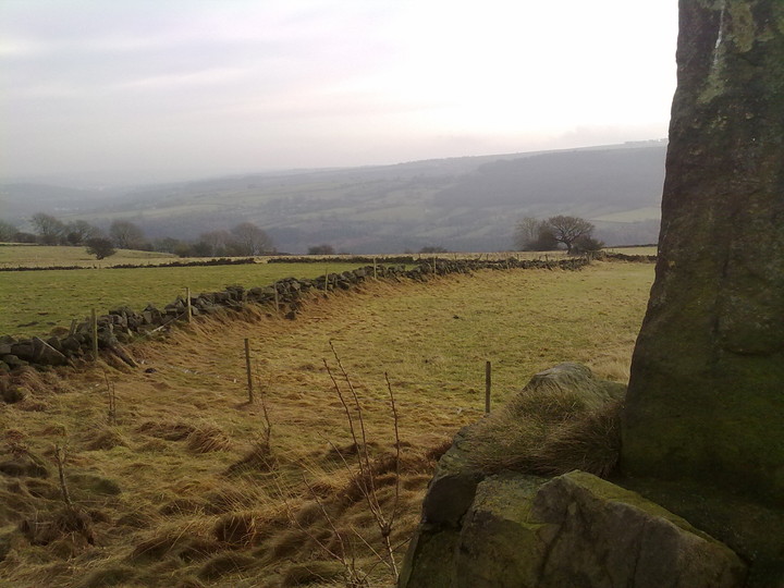
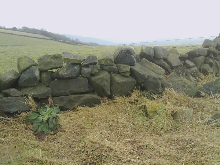
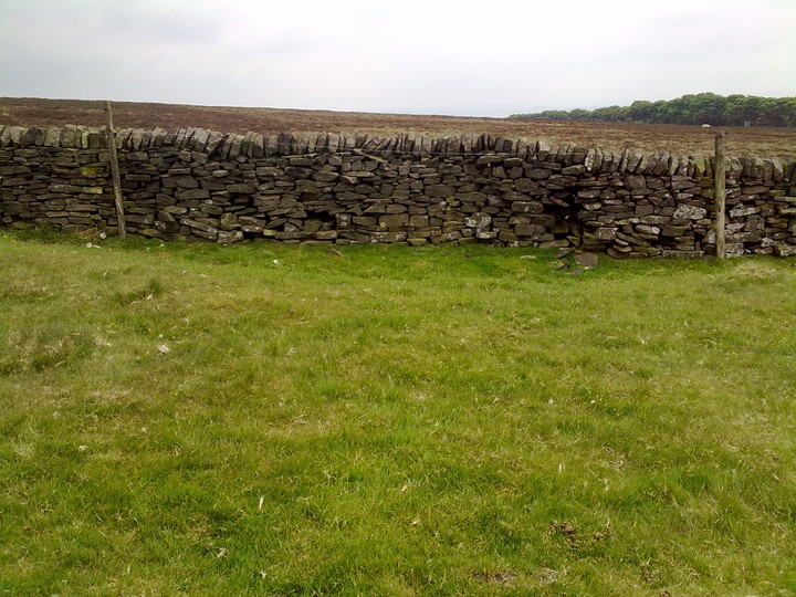
The cairn is located within a walled field, 3 of the field walls are constructed from modern style dry walling whilst the other which runs around a hundred metres is built from material robbed from the cairn, there must be 10, 15, 20 tons of it which would have made the cairn quite a sight before it was robbed.
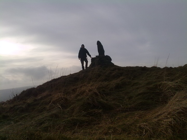
Today the megalith and the few rocks that are holding it in place are an eyesore, the reconstruction was done with concrete it seems, very ugly and unsympathetic.
Great site not far from parking in bolsterstone village, a must see if your anywhere nearby.
|
  
|

|

|

|
What a strange strange place, i can't make head nor tail of this jumble of boulder.
I spent over an hour wandering around scratching my head, hmmming and arrring.
I'm no ancient fort expert, which would have been evident had you been there with me, still scratching my head now.
Great place for a fort though, if that's what it was.
*Scratches head some more*
|
| |