

Hough Cairn looking WNW across Hough Stone Circle S.

Hough Cairn close-up. Note the exposed stones on the W kerb and E interior.
Hough Cairn, Isle of Tiree
Hough Cairn is a cairn on the Isle of Tiree. It lies within 10 yards E of the edge of Hough Stone Circle S. It is a small robbed-out cairn measuring around 7 yards across by up to 0.5 yards high. There are two large stones exposed through the turf which covers the cairn. One stone is in the W kerb, the other in the E of the interior of the cairn. The grassy interior of the cairn has a lumpy profile probably concealing underlying stones. The incomplete perimeter has a kerb measuring 1.0 feet high by 2 feet wide running from NE to SE and a kerb measuring 1.5 feet high by 2 feet wide running from W to N.
Hough Cairn is described in Canmore ID 21433 (go to Links).
I had the same doubts as CARL about the authenticity of the stone circle at Holm of Daltallochan. The stones were not earthfast, they were a variety of sizes and the location round a small hill is unusual.
At best I would describe it as a Stone Setting.

The substantial ramparts of Hilton Wood Castle, up to 14 feet high, are covered by vegetation.

Hilton Wood Castle’s sloping interior has been populated by trees.
I have added Glenterrow Cairn, an almost destroyed cairn 50 metres SE of Glentirrow/Glenterrow Stone circle to TMA. All signs for the stone circle have been removed so after some trial and mostly error I would recommend the following route for visiting Glentirrow/Glenterrow Stone circle.
Directions: Take the New Luce turn off the A75 at the E end of Castle Kennedy village. After 3.5 miles there is a gateway on the L at NX 1478 6240. I would be cautious if there are beef cattle in the field as they can be dangerous. There is a farm track leading N at first then bearing NW into a gateway at a boggy corner. Go through the gate and head SW up the field parallel to the fence for 350 yards. Glenterrow Cairn is in the SW corner of the field. Glentirrow/Glenterrow Stone circle lies 50 metres NW in rough moorland and can be seen from the field corner.
Hardcroft Cairn
There are few things in life as welcome as an unexpected cairn. I was searching for an enclosure in moorland and daylight was running out when a cairn shaped mound lit up the gloom. I had accidently stumbled upon Hardcroft Cairn. It was then that I discovered that my phone had died and daylight was running out. I plugged in my charger hoping that the camera would work before the light disappeared. Fortunately my phone only took 5 minutes to recover so I was able to capture Hardcroft Cairn in the fading light.
Hardcroft Cairn is a turf covered cairn measuring 20 yards across with an earth bank perimeter up to 4 feet high and 4 feet wide. The interior is a robbed-out hollow with little original structure. It lies around 500 metres SE of Hardcroft Farm on the edge of moorland.
Canmore ID 61593 (go to Links) provides further details of this site.


E Arc of Glenterrow Cairn. Glenterrow Four Poster is in the top L of the picture.

Possible Kerb stone on NW point of Glenterrow Cairn earthbank.

NW-SE Axis of Glenterrow Cairn. Glenterrow Fourposter is visible top centre of frame.
Glenterrow Cairn, adjacent to Glenterrow Four Poster.
Glenterrow Cairn is an almost destroyed cairn 50 metres NW of Glenterrow Four Poster. It is in the SW corner of a rectangular field on the edge of moorland. The cairn, 20 yards across, has been reduced to ground level with the exceptions being a 1 foot high earth bank running 90 degrees from SW to NW and a 2 feet high earth bank running 45 degrees from E to SE. The cairn has been stripped of stones except for a clump of stones at the NW point of the bank. There is a large boulder measuring 0.9 x 0.8 x 0.4 metres, a possible kerb stone, with three smaller stones.
It is only a matter of 50 metres SE to Glenterrow Four Poster lying in moorland beyond the fence. This is the easiest and driest route to Glenterrow Four Poster which is now un-signposted and unloved.
The real significance of this cairn is not its condition but its location. Its proximity to the four poster raises the question of the relationship between the two monuments. Were they built at the same time or do they represent different phases of occupation?
A Canmore search for Glenterrow produces Glenterrow Cairn as Canmore ID 61689 (go to Links) as well as two other destroyed cairns within a 500 metre radius.
This changes Glenterrow Four Poster from an isolated site to a site surrounded by other monuments.
Directions: Take the New Luce turn off the A75 at the E end of Castle Kennedy village. After 3.5 miles there is a gateway on the L at NX 1478 6240. There is a farm track leading N at first then bearing NW into a gateway at a boggy corner. Go through the gate and head SW up the field parallel to the fence for 350 yards. Glenterrow Cairn is in the SW corner of the field.


Pennance Entrance Grave (chamber centre frame) viewed from SE.

Pennance Entrance Grave has been used as a dump for large field clearance stones.

The Heaven Stone with Trumpan Church as a backdrop.

There are significant cracks in the top half of the Heaven Stone.

Pennies for Heaven: coins inserted into a crack in the Heaven Stone. Too many appeals to Heaven may lead to its destruction.

The hole in the Heaven stone, a small target to aim for.
An overall description of Trumpan Church and its stones. There is no reference to the Heaven Stone/Trying Stone.
I don’t own a copy of Ecclesiological notes on some of the islands of Scotland (1885) by TS Muir. I would hazard a guess that not many people do. However, the book is used as a reference in Canmore ID 10939 (go to Links) for Trumpan Church in Skye.
Therefore I would like to acknowledge Malcolm H Jones for a quote from pages 270-1 posted on MyCanmore Text in Canmore ID 10939. Canmore does not mention the Heaven Stone in its account however Muir has an account of the stone and its tradition.
Muir describes it as “a rude undressed pillar called ‘The Trying Stone,’ to which, according to local tradition, accused persons were taken, and there, through a venturesome appeal to the object, made manifest their innocence or their guilt. It is a massy whin, 4 ft. 8 in. in height, with a downwardly-bent cavity of an inch and a half in diameter near to its top. As the story goes, the appellant was placed within a certain distance of the stone, and then, approaching it blindfold, established his innocence only by unerringly putting his finger into the cavity.”

Hawk’s Tor proposed Stone Row viewed from SW.

Hawk’s Tor proposed Stone Row viewed from NE.
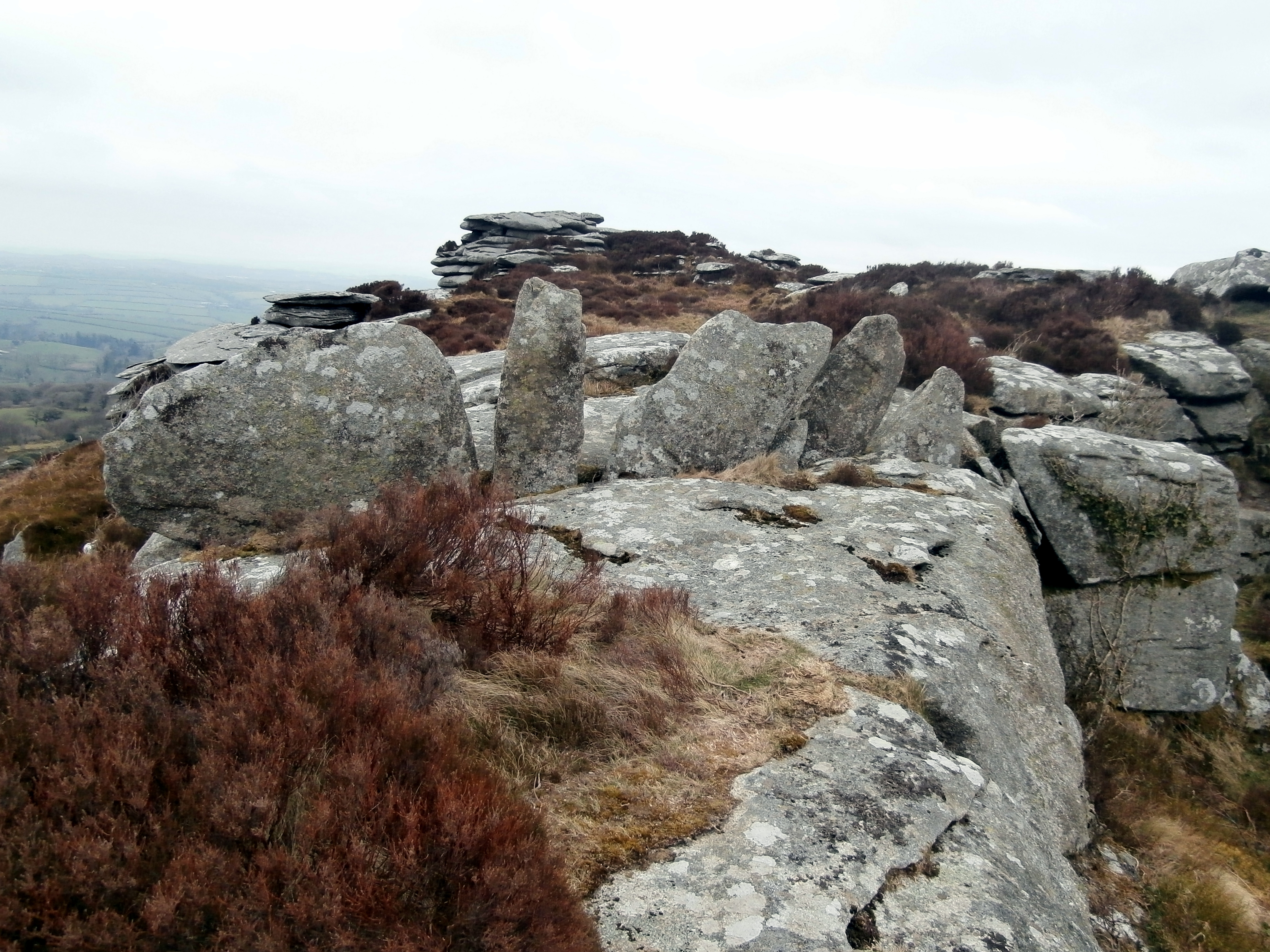
There is a proposal by The Stone Rows of Great Britain website that the row of small stones on top of Hawk’s Tor are a rare type of stone row. 5 stones up to 1m high have been carefully wedged into a rock crevice. This 5m row of stones runs from SE to NW. The stone row aligns with a prominent notch in an adjacent tor stack to the SE.
According to their calculations the midwinter sun viewed from the NW along the stone row will rise in the base of the notch.
The Stone Rows of Great Britain report (go to Links) gives a detailed survey of the site.
Proposed 5m stone row on summit of Hawk’s Tor


Barbay Hill summit, 127 m above sea level, the highest point on Great Cumbrae.


The Glaid Stone is a natural erratic stone deposited on top of Barbay Hill, 2 km N of Millport. It is c. 12 feet long with a 4x4 feet cross section. The Glaid Stone is quite impressive however the panorama from the summit is more impressive.
Barbay Hill is the highest point on Great Cumbrae at 127 m above sea level.
A minor road from Millport winds past the Glaid Stone completing a picturesque 7 km circuit back to Millport.


Giant’s Grave (Sma’ Glen) stone with a saddle stone at its base.

Graffiti on Giant’s Grave (Sma’ Glen) stone may record successful Saddlin the mare attempts.
‘Near to the entrance to the Glen were the grassy embankments of a Roman Camp, but a feature of the valley that interested me more than this relic of the dim past was a great boulder about a mile beyond. It stood a little aside from the highway, and a much used path leading to it was evidence that it had many visitors. What the attraction was, I could not have conjectured, had I not heard its story previously. It had a smooth, rounding top, and rose above the ground to a height of seven or eight feet. At its base lay three heavy stones, the largest about the size of a peck measure.
It was a common custom among travellers who happened into Glen Urtach to try ‘Saddling the Mare’ that is, to attempt putting the stones up on the boulder. They slid off with surprising ease, and few persons had the strength or cleverness to lodge all three. Still it was allowable to boast, even if you only succeeded with the two smaller ones. That the sport was a popular one was attested by the battered whiteness of the top of the boulder.’ The Land of Heather. Clifton Johnson (1903).
The above quote attests to the tradition of Saddlin the Mare when passing through the Sma’ Glen. There were three stones of increasing weight to place on the top slope of the stone without falling off. The route through the sma’ glen was a drovers road so the tradition may derive from ancient times.
There is a moderately sized stone at the base of the rock so it may be one of the original ‘saddles’. It is interesting that a stone is ‘saddled’ on top of the rock in Andy’s pictures so the tradition appears to be continuing.


