

Earthfast Recumbent Stone in NW Arc of Manor Common S Cairn.
Manor Common Barrows on Cornwall & Scilly HER
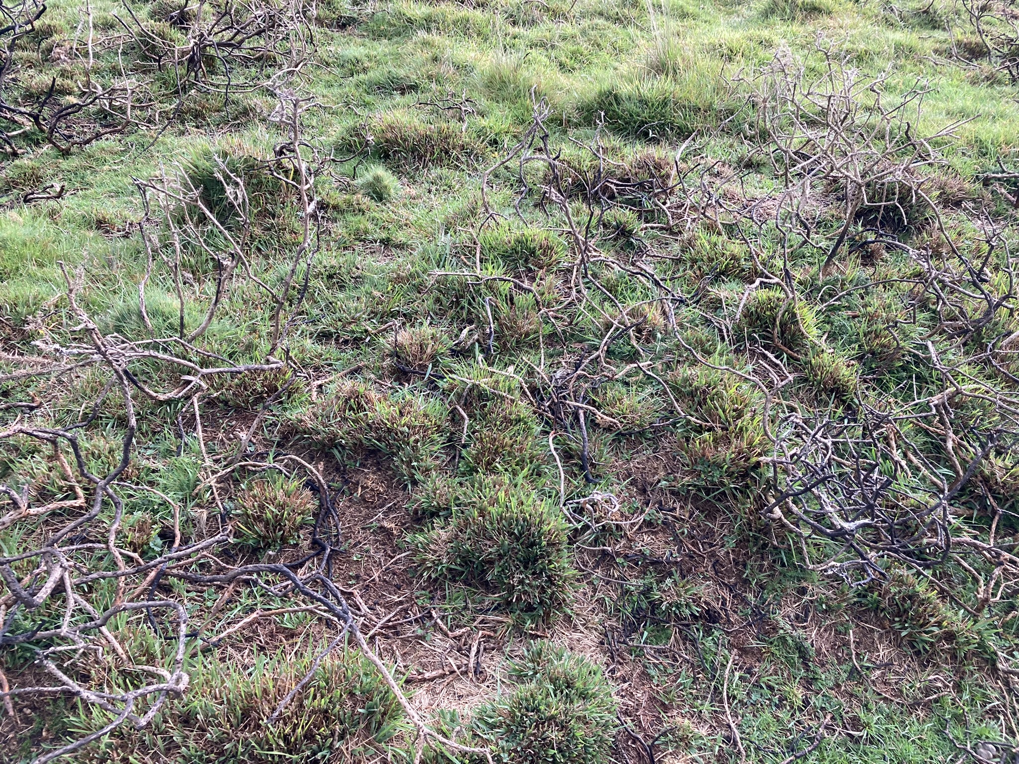
Visited 09.09.22
On the way to the Trippet stones I took the opportunity to revisit Manor Common Barrows. I had located the N Barrow but failed to find the S Barrow in 2019. This time, I revisited the N Barrow quite easily then used my GPS to home in on the location of the S Barrow. I saw a low tumulus c. 2 feet high covered in burnt gorse bushes. Maybe the cairn was hidden by gorse on my last visit. The cairn measured c. 12 yards E-W but the S Arc was obscured by gorse.
Manor Common Cairns are not listed on Historic England, but they are marked on OS Mapping. However, by using a new Search Engine, Heritage Gateway, I discovered a Bronze Age Barrow Cemetery listed on Cornwall & Scilly HER Number: 1642 (go to Links). There are three barrows in the listing. Manor Common N Cairn corresponds to Cornwall & Scilly HER Number: 1642.10. Manor Common S Cairn corresponds to Cornwall & Scilly HER Number: 1642.20. Cornwall & Scilly HER Number: 1642.30 refers to a putative small cairn located in between the N & S cairns. I didn’t search for it because I found this information subsequent to my visit.


Alex Tor Ring Cairn on Cornwall & Scilly HER.
Visited 25.08.22
For some perverse reason I felt compelled to revisit Long Tom (Cairnryan) Standing Stone. My original route from Cairnryan was blocked by a no unauthorised entry sign, presumably for a Wind Farm Construction Site. Back to the drawing board or in this case OS Maps. Glen App Wind Farm is now operational and accessible on foot (or bike). I plotted a route through the wind farm leading to Turbine B10. From there I could see a route to Long Tom (Cairnryan) via forest rides and firebreaks. The conditions underfoot were rough and boggy with care required on some sections to avoid sinking, however I persisted to reach my goal. A standing stone in perfect isolation! A just reward for a difficult expedition. All too soon I had to retrace my sodden footsteps to Turbine B10 and dry roads.
My route to Long Tom (Cairnryan) is viewable on the following link: explore.osmaps.com/route/13702299/long-tom-milldown?lat=55.018030&lon=-5.023700&zoom=12.6373&overlays=&style=Leisure&type=2d
Parking is available at NX 07423 74657, W of the A77 opposite Glenapp Church, just N of Glenapp Schoolhouse. Walk S along the A77 for c. 200 yards to reach the Glen App Track, the start of the route.

Long Tom (Cairnryan) is located in a forest clearing.

Long Tom (Cairnryan) Standing Stone viewed from N.

Long Tom (Cairnryan) Standing Stone viewed from N.

Long Tom (Cairnryan) Standing Stone viewed from E.

Long Tom (Cairnryan) Standing Stone viewed from S.

Long Tom (Cairnryan) Standing Stone viewed from W

N Face of Long Tom (Cairnryan).

Langstone Downs Cairn viewed from N.

Langstone Downs Cairn viewed from S.

Langstone Downs Cairn viewed from SW.

Centre of Langstone Downs Cairn viewed from SE.

Hollow Centre of Langstone Downs Cairn viewed from SE.
Langstone Downs (Withey Brook) on Historic England
Visited 09.04.18
Withey Brook Round Cairn lies on the slopes of Withey Brook Valley on the edge of Langstone Downs. It is located in a Bronze age field system incorporating a hut circle settlement.
Withey Brook Cairn is a round cairn, 40 feet in diameter by 5 feet high, covered in grass with large exposed stones on the surface. The cairn is largely undisturbed except for a hollow 5 feet across by 1.5 feet deep on the summit of the cairn.
Historic England 1010308 (go to Links) notes its unusual setting on a lower slope however it is situated on a crest top in an occupied Bronze Age area denoting its context in the ancient environment.
Directions: From the E edge of Minions turn into the Car Park then sharp R into a narrow country lane. Follow this for 1.33 miles until you reach the dead end L turn for Sharptor. The lane leads through Sharptor where the public road ends after 0.5 miles. There is room to park at SX 2579 7304 between Sharptor and Wardbrook Farm. Follow the dismantled railway track past Wardbrook Farm for 0.75 miles. Withey Brook Cairn lies within 50 yards on the L of the track, an obvious prominence in the landscape.
I visited the Langstane o’ Craigearn on 19.09.19, approaching from N. Access to the stone is restricted. It appears to be enclosed in a private garden.

Langstane O’ Craigearn viewed from N. Access is restricted. (19.09.19)
Directions: At the S edge of New Luce, beside the church, take the un-signposted turn up the hill. Stay on this narrow lane for c. 1.1 miles until you reach the sign for the Southern Upland Way (SUW) at NX19106500. There is room to park here. Follow the SUW path for c. 0.5 miles to reach a SUW Post halfway up Knockcraven Wood at NX1937564690. Continue uphill for c. 65 yards to reach Knockcraven Wood Carved Stone, c. 7 yards on the left of the path.
Knockcraven Wood Cup Carved Stone lies on the edge of Knockcraven Wood, c. 1.25 miles E of New Luce. The Southern Upland Way (SUW) follows the W edge of Knockcraven Wood. The carved stone is located between the SUW and the edge of the wood c. 50 yards from the SW corner of Knockcraven Wood. It is c. 7 yards W of the wood edge and c. 7 yards E of the SUW.
There are two carvings on Knockcraven Wood Cup Carved Stone, an irregular earthset stone measuring c. 4 by 3 feet, with a rounded top c. 1 foot high. There is a deep oval cup carving on the W edge of the stone measuring c. 6 inches on the N-S Axis and 4 inches on the E-W Axis. It is c. 4 inches deep with smooth walls suggesting some kind of grinding activity. On the E edge of the rock there is a long shallow groove measuring c. 8 by 3 inches and up to 1.5 inches deep in the centre. This groove is smoother than the surrounding rock, perhaps due to a repetitive scraping action.
Knockcraven Wood Cup Carved Stone could be associated with domestic activity of the occupants of the adjacent Dranigower Hut Circles.

Knockcraven Wood Cup Carved Stone viewed from W.

Knockcraven Wood Cup Carved Stone viewed from N.

Carvings on Knockcraven Wood Cup Carved Stone.

Deep Cup Carving on Knockcraven Wood Cup Carved Stone.

Carved Groove on Knockcraven Wood Cup Carved Stone.
Visited 26.07.22
My first experience of Hardcroft Cairn was in fading light so I decided to revisit on a bright Summer day. The high ferns made progress difficult, however I enjoyed a more leisurely investigation of Hardcroft Cairn. There are prominent thorn bushes on the E & W Arcs of the cairn and ferns obscure the E Arc. A raised earth bank up to 4 feet high delineates the kerb of a circular cairn measuring c. 50 feet in diameter with a hollow centre.
Directions: At the S edge of New Luce, beside the church, take the un-signposted turn up the hill. Stay on this narrow lane for c. 1.1 miles until you reach the sign for the Southern Upland Way (SUW) at NX19106500. There is room to park here. Follow the SUW path for c. 0.5 miles to reach a SUW Post halfway up Knockcraven Wood at NX1937564690. Leave the path, walk W for c. 0.33 miles over pathless moorland heading for NX 1899 6433. There are no landmarks so GPS navigation is essential to find this cairn.

S Chamber of Heights of Brae Cairn viewed from S. The solitary Standing Stone of the N Chamber is visible on left centre of frame.

S Chamber of Heights of Brae Cairn viewed from N.

NW Stone of S Chamber of Heights of Brae Cairn.

Shap Stone Alignment on Historic England


