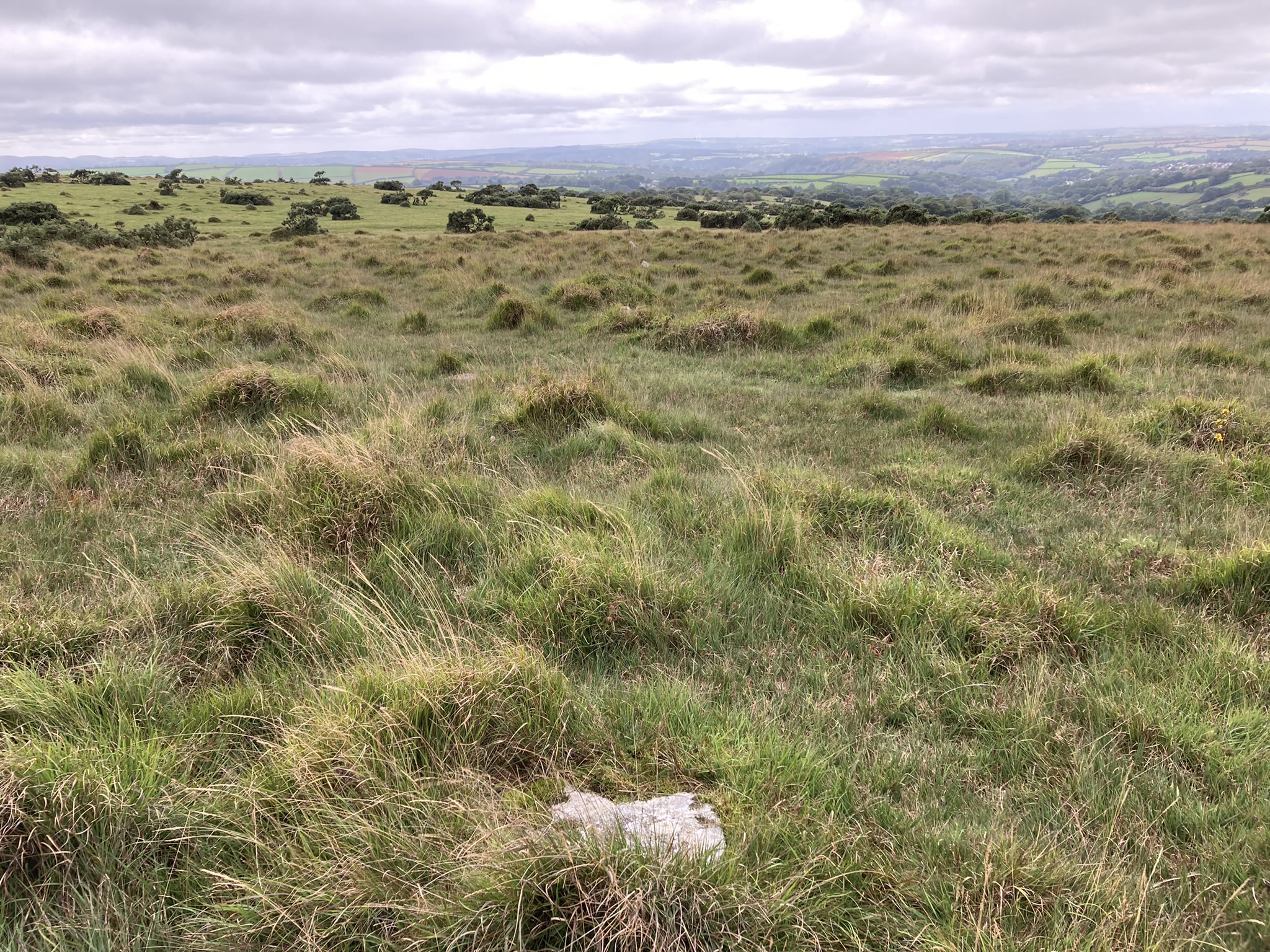
markj99

markj99

All posts expand_more 2,251-2,300 of 4,121 posts

Trehudreth Downs Cairn

Visited 09.09.22

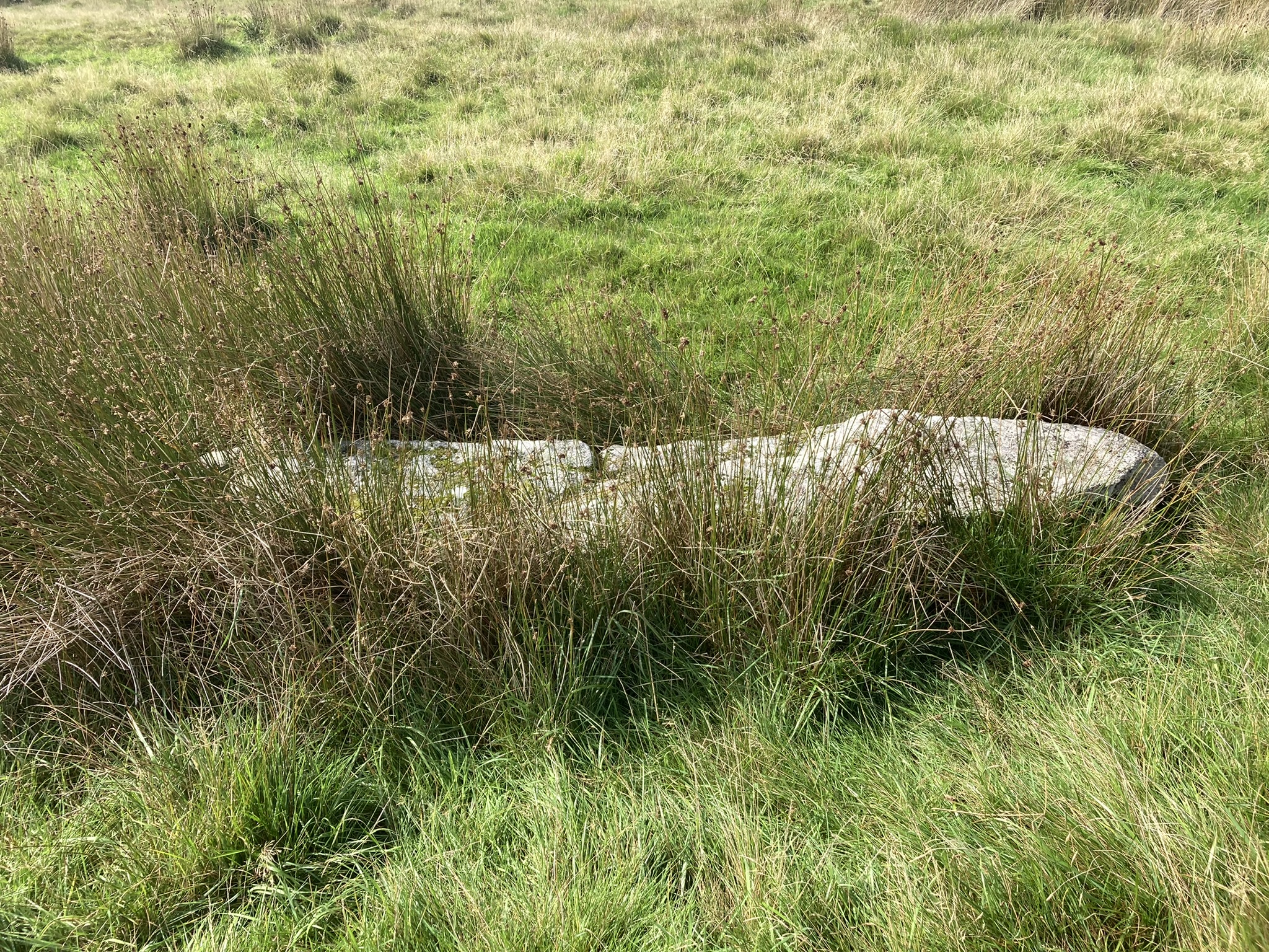
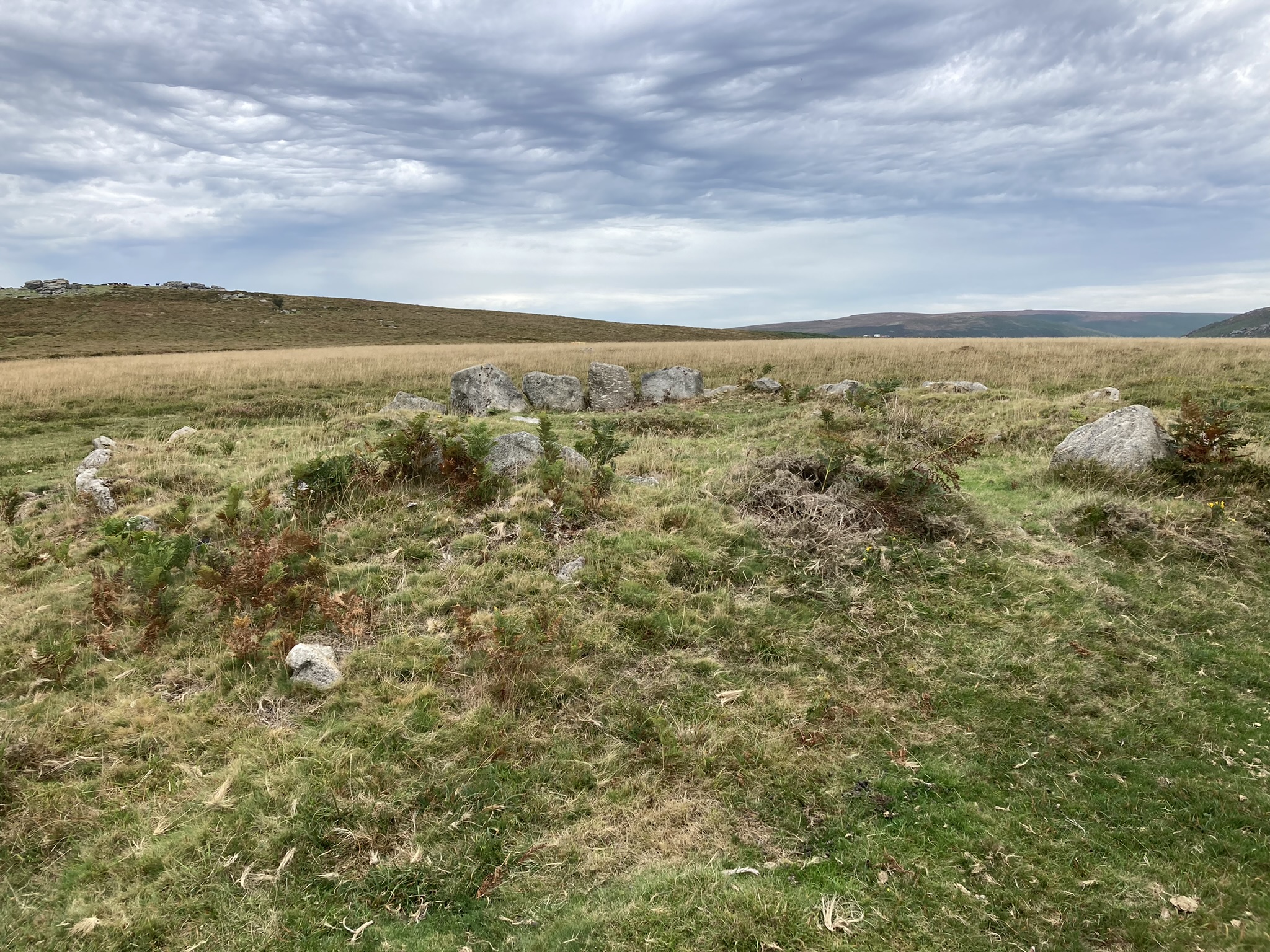
I spent a pleasant afternoon surveying cairns, stone rows and standing stones on Greenbarrow & Trehudreth Downs. I found Trehudreth Downs E Cairn, a round grassy mound with an irregular surface measuring c. 7 yards in diameter and 2 feet high. It is one of 6 sites listed on Historic England List Entry Number: 1005458 (go to Links). It is located at SX 12676 72864.

Trehudreth Downs Stone Row

Visited 09.09.22

I spent a pleasant afternoon wandering Trehudreth Downs. I was successfully searching for cairns but also stumbled on this short stone row running WSW-ENE. The stones were low lying and difficult to locate in rough moorland. Upon consulting my GPS I noted that this was the W end of a long stone row. At the time I couldn’t locate its remaining portion. The Stone Rows of Great Britain includes Trehudreth Down (go to Links). Stone 19 (SX 12464 72955) and Stone 13 (SX 12499 72967) gives the full range of the stones I found.

Stripple Stones

Visited 10.09.22

Two Stone Circles for the price of one! Trippet Stones & Stripple Stones are a classic double. Hawk’s Tor is a bonus. Stripple Stones were restored in 2015 by The Heritage Trust. A modern wall bisecting the henge was removed, the henge was restored and fallen stones re-erected. The current monument has 11 standing stones & 4 recumbent stones in the stone circle and 2 central recumbent stones orientated towards 338°. The large recumbent central stone measures c. 12 ft by 33 inches. The smaller parallel recumbent central stone measures c. 40 inches by 12 inches.
Pictures of all 17 stones in Stripple Stones are available in Historic England List Entry Number: 1006693 (go to Links).
Directions: Take the St Breward/Temple turn off the A30. Follow the St Breward road for c. 0.8 mile to the 1st crossroad. Turn left and park up on the grass verge after c. 0.2 miles. Walk c. 170 yards NNW to Trippet Stones. Walk NE for 0.3 miles to the corner of the common. Follow the track NE for c. 0.35 miles. Walk SE for c. 0.2 miles to the summit of Hawk’s Tor. The Stripple Stones are located 0.25 miles SE of the summit. My route to Stripple Stones is on OS Maps (go to Links).

Miscellaneous

Seven Lords’ Lands
Cairn(s)

Directions for Seven Lords’ Lands Cairn:

Take the Bovey Tracey / M’hampstead A382 turn off the A38. Turn left for Bovey Tracey. After c. 1.3 miles take the 2nd exit of the roundabout for Town Centre / Haytor. Take the 1st exit for Haytor / Widecombe B3387 at the next roundabout c. 0.8 miles later. After c. 0.4 miles on the B3387 bear left to stay on the B3387. Continue on the B3387 for c. 5 miles to reach Hemsworthy Gate Car Park (SX 74145 76095) at the B3387 / Ashburton Junction. Seven Lords’ Lands Cairn is located c. 140 yards N from here adjacent to a stone wall.

Seven Lords’ Lands

Visited 12.09.22

Seven Lords’ Lands Cairn was an unexpected bonus on a visit to Hound Tor Medieval Village in Dartmoor National Park. It is located c. 80 yards NE of the B3387, adjacent to a stone wall. This round cairn has a diameter of c. 12 yards and reaches up to 2 feet high. There is an intermittent kerb of upright stones measuring up to 2.5 feet in the W Arc. A gap in the SW Arc of the kerb provides an entrance into the interior of the cairn. The irregular grassy surface of the interior has been robbed of stones. There is an excavated hollow offset c. 5 feet W of the centre of the cairn. The grassy hollow is c. 2.5 feet across & 1 foot deep with a small embedded central stone.
Seven Lords’ Lands Cairn is listed on Historic England (go to Links).