
Grass Track Bisecting Smittons Bridge Kerb Cairn on a N-S Axis.
Image credit: Mark Johnstone
Grass Track Bisecting Smittons Bridge Kerb Cairn on a N-S Axis.
Visited 25.03.23
Smittons Bridge Kerb Cairn has been reduced to a low grassy circular platform at the base of Stroanfreggan Crags, c. 5 miles E of Carsphairn. It is located c. 100 yards E of Smittons Bridge on the B729 Moniaive road. The cairn has been bisected by a grass track, starting c. 100 yards E of Smittons Bridge, leading N to a disused quarry at the foot of Stroanfreggan Crags. The platform measures c. 60 feet in diameter reaching a height of c. 2 feet on the NE Arc. An earth bank survives on the NE, SE and W Arcs of the kerb cairn. There are several large kerb stone extant on the W Arc. The centre of the platform is flat with a grass track on a N-S Axis despoiling its surface. Canmore ID 64347 has a full description of Smittons Bridge Kerb Cairn.


Visited 30.04.10
Barsloisnoch Cists are located c. 150 yards E of Barsloisnoch Farm in rough pasture, c. 75 yards S of the minor road to Crinan Ferry. Barsloisnoch SE cist (NR 8136 9567) is located in a patch of marsh. The cist is buried up to ground level. It has an impressive sub-rectangular capstone slab measuring c. 9 x 4 x 0.75 feet. The second ruined cist, Barsloisnoch NW (NR 8135 9568), is located c. 10 yards NW on a stony grass mound. The remains of the cist consist of one upright side slab and a small capstone slab, measuring c. 4.5 x 2.5 x 0.25 feet, in a shallow hollow. The measurements and grid references were taken from Canmore ID 39476. Further information is available in Canmore ID 39476.


Rosenannon Downs N Barrow viewed from N.

Rosenannon Downs N Barrow viewed from E.

Rosenannon Downs N Barrow viewed from S.

Rosenannon Downs N Barrow viewed from W.

Central Hollow of Rosenannon N Downs Barrow viewed from E.

Rosenannon Downs Central Barrow viewed from Rosenannon Downs N Barrow.

Rosenannon Downs Central Barrow viewed from N.

Rosenannon Downs Central Barrow viewed from E.

Rosenannon Downs Central Barrow viewed from S.

Rosenannon Downs Central Barrow viewed from W.

Kerb Stones in N Arc of Rosenannon Downs Central Barrow.

Central Hollow of Rosenannon Downs Central Barrow viewed from S.

Rosenannon Downs S Barrow viewed from N.

Rosenannon Downs S Barrow viewed from E.

Rosenannon Downs S Barrow viewed from S.

Rosenannon Downs S Barrow viewed from W.
Visited 20.02.23
There is a Barrow Cemetery on Roseannon Downs c. 3.5 miles SW of Wadebridge. There are 3 barrows in an approximate N-S alignment.
The largest barrow, Roseannon Downs N Barrow, is on the N margin of Roseannon Downs at SW 95548 68101. It is a bell barrow measuring c. 66 feet in diameter and 10 feet high. The mound is clothed in moor grass and heather. The centre of the barrow has a central hollow, c. 20 feet across and 4 feet deep.
Roseannon Downs Central Barrow is located at SW 95604 68035, c. 100 yards SE of Roseannon Downs N Barrow. The round grassy barrow has a diameter measuring c. 66 feet, reaching up to c. 7 feet high. There are several kerb stones exposed on the N perimeter. The mound has a deep central hollow measuring c. 10 feet in diameter and 5 feet deep.
The third barrow, Roseannon Downs S Barrow, located at SW 95516 67891, is c. 240 yards S of Roseannon Downs N Barrow. This ruined barrow is only evident on close approach. The low platform, measuring c. 45 feet in diameter and 3 feet high, has a pitted surface covered in tufts of moor grass and heather.
Further details of Roseannon Downs Barrow Cemetery are available in Historic England List Entry Number: 1004406.

Pawton Springs Barrows viewed from W.

Pawton Springs N Barrow viewed from N.
Pawton Springs N Barrow viewed from E.

Pawton Springs N Barrow viewed from S.

Pawton Springs N Barrow viewed from W.

Earthfast Stone in N Arc of Pawton Springs N Barrow.

Centre of Pawton Springs N Barrow viewed from S.

Pawton Springs Central Barrow viewed from N.
Pawton Springs Central Barrow viewed from E.

Pawton Springs Central Barrow viewed from S.

Pawton Springs Central Barrow viewed from W.

Centre of Pawton Springs Central Barrow viewed from S.

Pawton Springs SW Barrow viewed from N.

Pawton Springs SW Barrow viewed from E.

Pawton Springs SW Barrow viewed from S.

Pawton Springs SW Barrow viewed from W.

Earthfast Stone on S Perimeter of Pawton Springs SW Barrow.

Central Hollow of Pawton Springs SW Barrow viewed from S.
Visited 19.02.23
There is a group of 3 barrows in a field c. 220 yards NW of Pawton Springs Farm on St Breocks Downs. They are in an approximate N-S alignment.
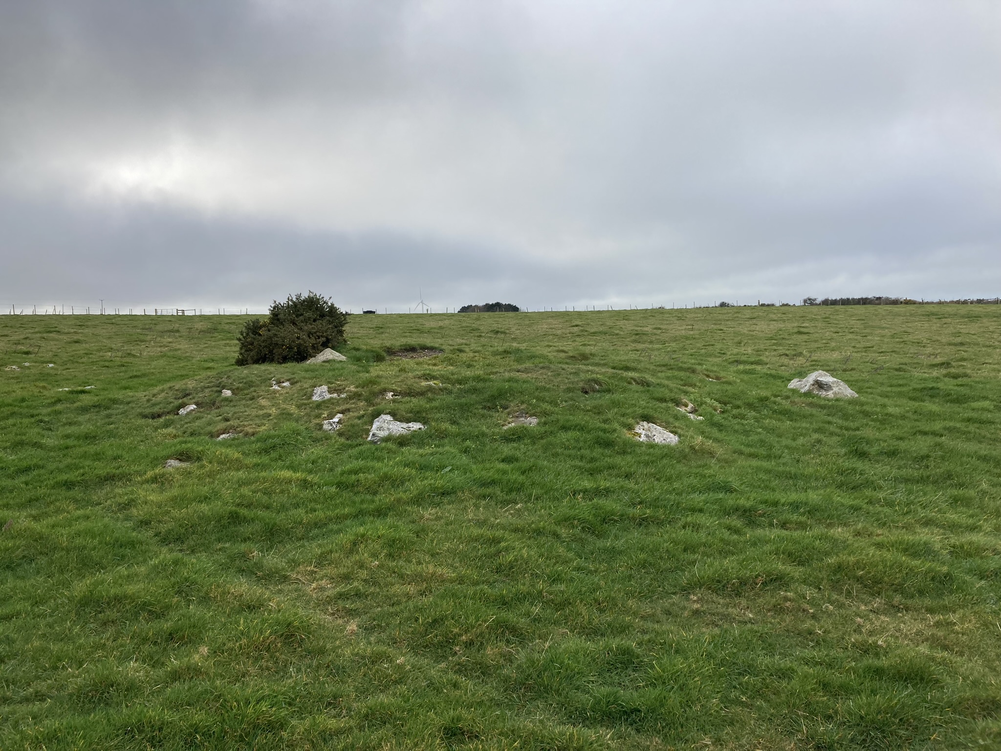
Pawton Springs N Barrow (SW 95960 68779) is a small mound measuring c. 10 yards in diameter and 2 feet high. There is a large earthfast stone on the N perimeter. The grassy surface of the barrow is studded with small stones, topped by a gorse bush.
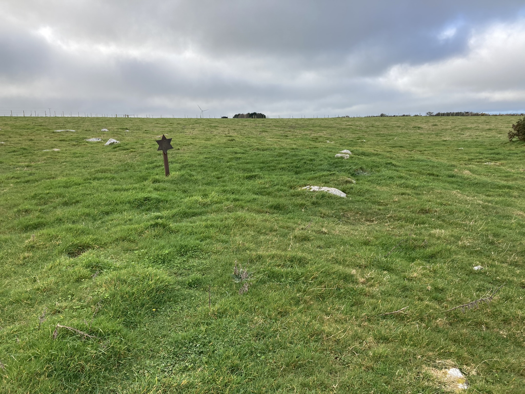
Pawton Springs Central Barrow (SW 95962 68761) is a small mound measuring c. 10 yards in diameter and 2 feet high. It overlaps the S Arc of Pawton Springs N Barrow. The grassy surface of the barrow is studded with small to medium stones.
Pawton Springs SW Barrow (SW 95934 68737) is a low grassy mound measuring c. 17 yards in diameter and 1.5 feet high. It is located c. 65 yards NW of Pawton Springs Central Barrow. A large earthfast stone is located on the S perimeter of Pawton Springs SW Barrow. There is a central hollow measuring c. 5 yards in diameter and 6 inches deep. The grassy surface of the barrow is featureless.
Further details of Pawton Springs Barrow Cemetery are included in English Heritage List Entry Number: 1004619.


