
Galabraes W Standing Stone viewed from E. Gorse bushes are threatening to obscure this broken stump.
Image credit: Mark Johnstone
Galabraes W Standing Stone viewed from E. Gorse bushes are threatening to obscure this broken stump.

Galabraes W Standing Stone viewed from above.

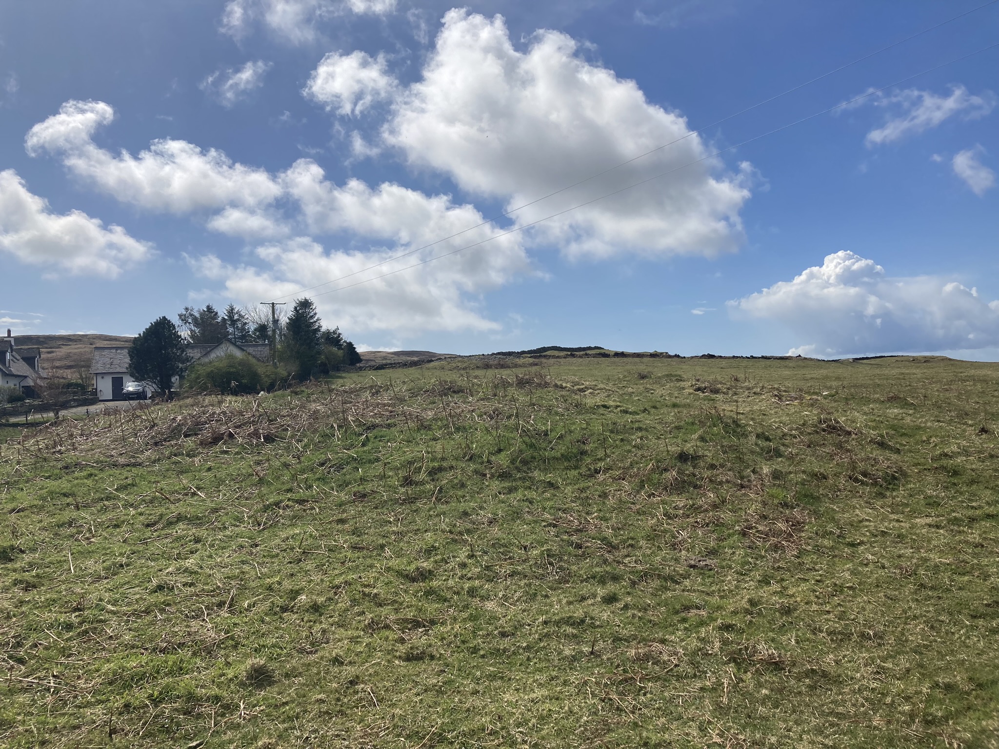
Rosenannon Downs W Barrow viewed from N.

Rosenannon Downs W Barrow viewed from E.

Rosenannon Downs W Barrow viewed from S.

Rosenannon Downs W Barrow viewed from W.

Excavation in Centre of Rosenannon Downs W Barrow viewed from E.
Visited 20.02.23
Rosesnannon W Barrow is located on Rosenannon Downs c. 3.5 miles SW of Wadebridge. The oval mound is c. 500 yards W of Rosenannon N Barrow in rough moorland.
Historic England List Entry Number:1021224 lists its dimensions as 28m E-W, 25.5m N-S and 1.7m high. There is a shallow excavation in the centre of the barrow leaving stones exposed.


Stony Hollow in W Quadrant of Brae Farm SW Cairn.

Field Clearance Stones dumped on W Half of Brae Farm SW Cairn.

Visited 14.04.23
Brae Farm SW Cairn is one of a group of 3 cairns on Brae Farm, c. 5 miles NNW of Port William in Dumfries and Galloway. The SW cairn is located in the corner of a field c. 270 yards S of the B7005 and 20 yards W of Brae Farmhouse.
Brae Farm SW Cairn is the best preserved of the group, retaining original cairn stones on the N Half. The round mound measures c. 60 feet in diameter and 3 feet high. There is a stone covered hollow in the W Quadrant, possibly a result of a 1942 excavation mentioned in Canmore ID 62913. Some medium-sized field clearance stones have been dumped on the W Quadrant.
Brae Farm NE Cairn is located c. 300 yards NE and Brae Farm Central Cairn is located c. 100 yards N of Brae Farm SW Cairn.


Centre of Brae Farm Central Cairn viewed from N.

Cluster of Exposed Stones in Centre of Brae Farm Central Cairn.
Visited 14.04.23
Brae Farm Central Cairn is one of a group of 3 cairns on Brae Farm, c. 5 miles NNW of Port William in Dumfries and Galloway. The Central cairn is located in pasture c. 170 yards S of the B7005 and 30 yards W of Brae Farm road.
Brae Farm Central Cairn is constructed on a natural rocky knoll according to Canmore ID 62900. The round mound measures c. 50 feet in diameter and 2 feet high. The grassy surface is pock-marked with small clusters of exposed stones.
Brae Farm NE Cairn is located c. 200 yards NE and Brae Farm SW Cairn is located c. 100 yards S of Brae Farm Central Cairn.

High Moor Hut Circle viewed from NE.

High Moor Hut Circle viewed from SE.

High Moor Hut Circle viewed from NW.

NE Arc of High Moor Hut Circle.

SE Arc of High Moor Hut Circle.

NW Arc of High Moor Hut Circle.

Entrance in SE Arc of High Moor Hut Circle.

Interior of High Moor Hut Circle viewed from SE.
Visited 03.04.23
High Moor Hut Circle is a circular grassy footprint in rough pasture c. 5 miles NNW of Port William in Dumfries and Galloway. The hut circle is located c. 70 yards W of Corwall Farm track, c. 0.5 mile yards S of the B7005.
Usually, when I am searching for a hut circle, I seem to spend 30 minutes grid searching moorland without success. High Moor Hut Circle is a glorious exception to the norm. Heading S from Brae Moor Cairn I spotted my quarry from 100 yards away.
High Moor Hut Circle measures c. 33 feet in diameter and up to 1.5 feet high. There is only one substantial stone on the perimeter, an upright stone c. 1.5 feet high, in the S Arc. The SW Arc of the circle has been obscured by gorse bushes. The probable entrance is a gap in the bank, measuring c. 3 feet wide, in the SE Arc according to Canmore ID 62228. The interior of High Moor Hut Circle is flat and featureless.
Brae Moor Cairn is located c. 200 yards NNE of High Moor Hut Circle.
Visited 03.04.23
Brae Moor Cairn is a sub-circular grassy footprint in rough pasture c. 5 miles NNW of Port William in Dumfries and Galloway. The cairn is located c. 15 yards W of Corwall Farm track, c. 600 yards S of the B7005. There are intermittent remains of an earth bank on the perimeter, best preserved on the SE Arc up to a height of 2 feet. The cairn is c. 50 feet in diameter with an exposed cist on a NE-SW Axis in the centre. The rectangular cist, which is surrounded by bracken, measures c. 3 x 1.5 x 1.5 feet.
Canmore ID 62227 has further details of Brae Moor Cairn.


Possible Kerb Stone on SE Arc of Brae Farm NE Cairn.

Visited 03.04.23
Brae Farm NE Cairn is one of a group of 3 cairns on Brae Farm, c. 5 miles NNW of Port William in Dumfries and Galloway. The NE cairn is located in pasture c. 20 yards S of the B7005 and 120 yards E of the Brae Farm road end.
Brae Farm NE is constructed on a natural rocky knoll according to Canmore ID 62898. There are large putative kerb stones on the SE and NW perimeter of the mound. The sub-circular grassy cairn measures c. 20 feet in diameter and 2 feet high. A modern clearance cairn has been accumulated on the field margin 10 yards N of Brae Farm NE Cairn.
Brae Farm SW Cairn is located c. 300 yards SW and Brae Farm Central Cairn is located c. 200 yards N of Brae Farm SW Cairn.


