Ballageich Hill on Google Maps
markj99


Exposed Stones in N Half of Ballageich Hill Cairn.
Image credit: Mark Johnstone

Excavated Hollow in S Half of Ballageich Hill Cairn.
Image credit: Mark Johnstone


Visited 02.04.23
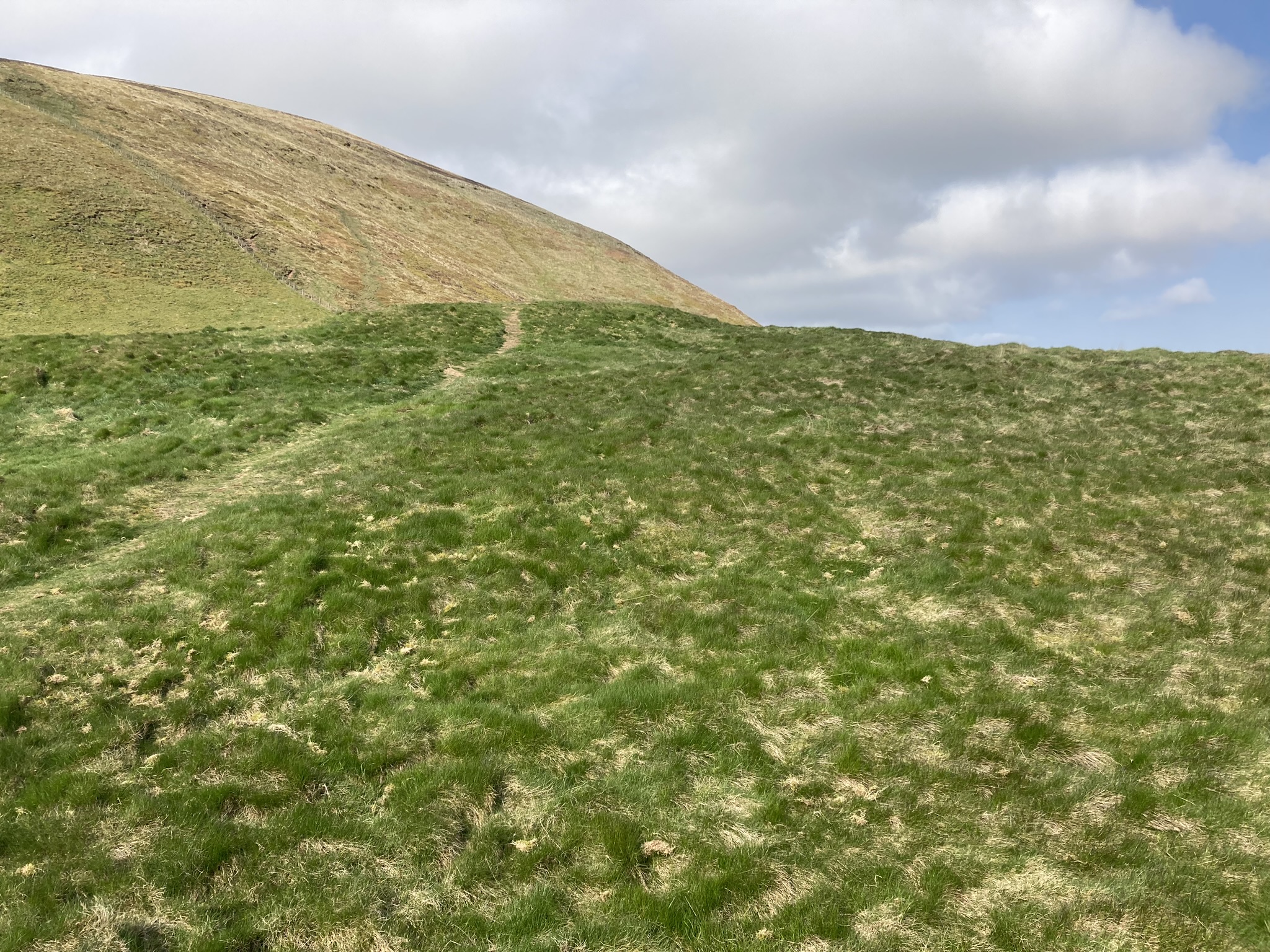
Ballageich Hill Cairn is located on the E edge of the summit plateau of Ballageich Hill, c. 2 miles SW of Eaglesham in East Renfrewshire. There is a lay-by on the B764 at NS 53933 50021, opposite to Greenfield Farm track. A path from the lay-by, heading NW, leads c. 180 yards up to the elevated remains of Ballageich Hill Cairn. The grassy sub-circular cairn measures c. 3 feet high and 66 feet in diameter. The surface of the cairn is irregular with exposed stones protruding through the turf. There is a round excavation pit, measuring c. 6 feet across and 1 foot deep, in the S half of the mound. Ballageich Hill Cairn has expansive views to the N, E and S. The W view looks across moorland towards the summit of Ballageich Hill. Canmore ID 43978 lists the cairn under the alternative spelling “Ballagioch”.


Law Knowe was the site of a cairn on a natural knoll on the N fringe of East Kilbride in South Lanarkshire. The cairn measured 8 or 10 yards and had a kerb of large flagstones according to Canmore ID 44899. Canmore states that a large part of the cairn was robbed by the end of the 18th Century and no traces of the cairn remained in 1955.
A Playsport golf course has been constructed on the site of the cairn. The location, in the SW corner of the golf course, has a Marker Cairn with an information plaque constructed on top of Law Knowe.


Visited 21.04.23
There was a hillfort on a natural knoll on the lower E slopes of Caerketton Hill, c. 0.33 miles S of Hillend Ski Centre in Midlothian. The knoll reaches up to a height of 10 yards above the surrounding area. The enclosed area of the oval fort was c. 80 yards E-W and 70 yards N-S. According to Canmore ID 51763 virtually all traces of the fort have been erased by cultivation. There are remains of a defensive bank and ditch extant on the W Arc. The only surviving sign of habitation on the summit plateau is a small hut circle c. 5 yards S of the central summit.


Visited 21.04.23
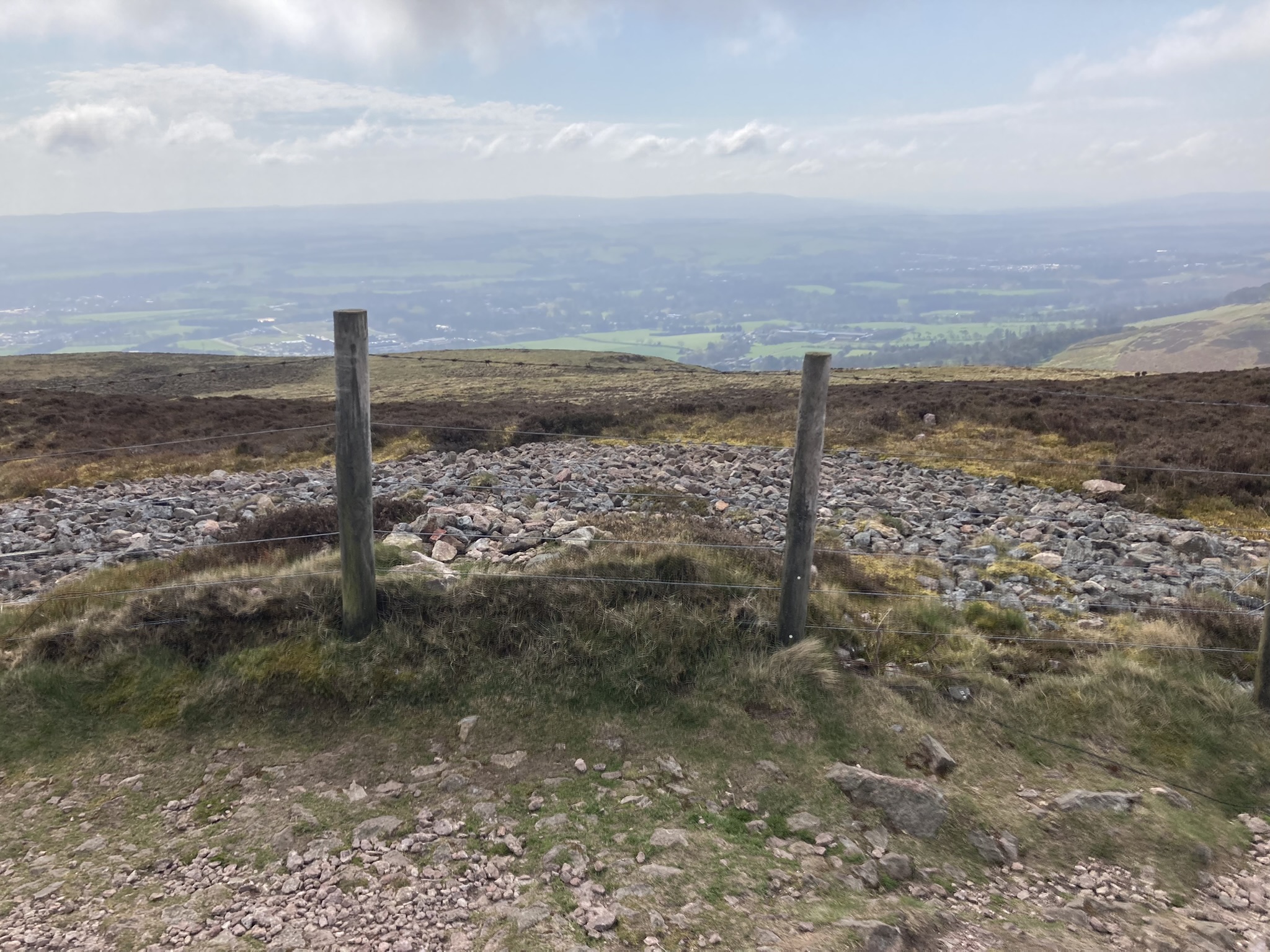
There is a stony footprint of a cairn on the summit of Caerketton Hill, c. 0.5 mile SW of Hillend Ski Centre in Midlothian. The round cairn, which measures c. 50 feet in diameter, has been razed to ground level on all but the S Arc. A fence running E-W bisects the S half of the cairn, leaving a perimeter of original cairn stones c. 6 feet wide on the S Arc. A modern cairn, c. 3 feet high, has been constructed in the centre of the cairn. Caerketton Hill Cairn has panoramic views in all directions due to it’s elevated location, c. 480m above Sea Level.
Canmore ID 51764 has details of surveys of Caerketton Hill Cairn in 1928 and 1969.
The Spiral Stone on Google Maps
Visited 21.04.23
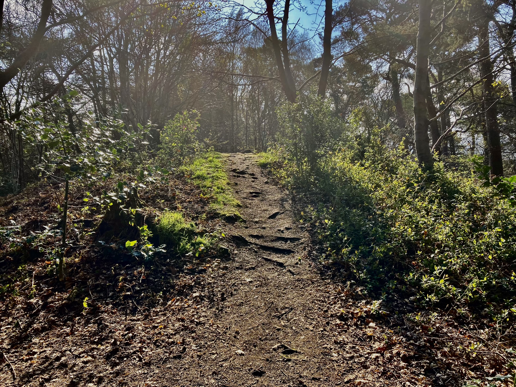
Galachlaw Cairn is a sub-circular mound in woodland on the S edge of a housing estate in Fairmilehead on the S fringe of Edinburgh. The cairn, which measures c. 45 feet in diameter and 5 feet high, has been almost entirely robbed of stone, leaving several putative kerb stones on the S Arc, as noted in Canmore ID 51710. The largest stone measures c. 1.5 x 1 x 0.5 feet. An eroded path crosses the centre of the cairn on an E-W Axis. There is a significant excavated hollow in the N half of the cairn. Galachlaw Cairn would have had a 360° vista previous to afforestation and urban development.


Kerb Stone measuring c. 1.5 x 1 x 0.5 feet in S Arc of Galachlaw Cairn.
Image credit: Mark Johnstone

Embedded Kerb Stones in S Arc of Galachlaw Cairn.
Image credit: Mark Johnstone

Excavated Hollow in N Half of Galachlaw Cairn.
Image credit: Mark Johnstone


