
Trig Point in Centre of Cairnsmore of Fleet Trig Point Cairn viewed from E.
Image credit: Mark Johnstone
Trig Point in Centre of Cairnsmore of Fleet Trig Point Cairn viewed from E.
Visited 09.07.23
A second cairn on the summit of Cairnsmore of Fleet is noted in Canmore ID 63764 at NX 502 671, c. 40m NE of the Summit Cairn. This cairn, adjacent to a modern shelter, has a trig point surmounted on its centre. The round mound is c. 6m in diameter and 0.2m high. It has scattered stones, ranging from small to large, on its grassy surface.


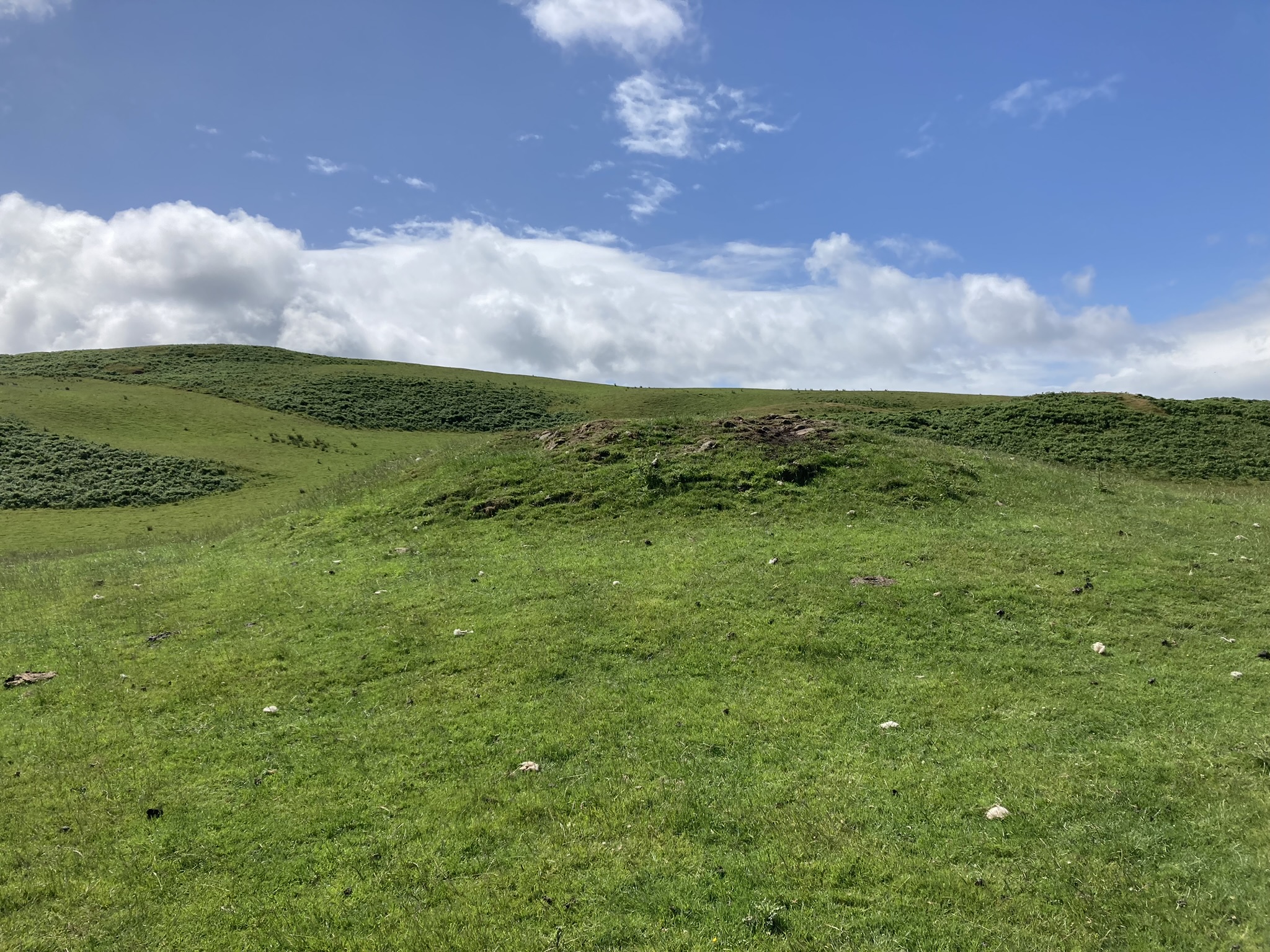
Modern Cairn Marker on N Arc of Knee of Cairnsmore Cairn.

Patina of Moss on W Half of Knee of Cairnsmore Cairn.

Centre of Knee of Cairnsmore Cairn viewed from W.
Visited 09.07.23
Knee of Cairnsmore Cairn is c. 1.2 miles SSE of the N Summit of Cairnsmore of Fleet, a hill c. 5.5 miles E of Newton Stewart. The round stony cairn, on the southern summit of Cairnsmore of Fleet, has been reduced to c. 15 yards in diameter reaching a height of 1 yard. A modern marker cairn c. 5 feet high has been constructed on the N Arc. Canmore ID 63763 has further details of Knee of Cairnsmore Cairn.

Rocky Knoll c. 50 yards ENE of Glenquicken Moor Standing Stone.

Glenquicken Moor Standing Stone viewed from NE.

Glenquicken Moor Standing Stone viewed from NE.

Glenquicken Moor Standing Stone viewed from NE (Yardstick for Scale).

Glenquicken Moor Standing Stone viewed from SW.
Visited 08.07.23
Glenquicken Moor Standing Stone is located on Glenquicken Moor, N of Garrochar Tree Farm, c. 2 miles E of Creetown. Canmore ID 63672 describes the stone as a “thin broad whinstone slab”. The stone’s dimensions, taken from Canmore, are 3 feet 6 inches high by 3 feet 4 inches broad by 6 inches thick. The broad faces are on a NE-SW Axis.
The stone is hard to find in summer due to a sea of ferns. I walked c. 50 yards SSW from the rocky knoll at NX 51610 58608 to find the hidden stone.
Glenquicken Moor Standing Stone is difficult to access due to its proximity to Garrochar Tree Farm. The route to Glenquicken Moor Standing Stone is short but is tricky underfoot, over rough ground for half of it. A detour is required round Garrocher Tree Farm’s high fences. My route is viewable on Glenquicken Moor Standing Stone.


Sud Ouest published an update on the destruction of 38 menhirs in Montauban by the construction of a Mr. Bricolage on 16/06/23: an investigation into the matter has been opened by the Lorient prosecutor’s office. The mayor of Carnac, Olivier Lepick, has received death threats on social media. His house is under police protection. Sud Ouest article


Possible Kerb Stone on E Arc of East Threave Cairn.

Erosion on W Arc of the Summit of East Threave Cairn.

Central Hollow of East Threave Cairn viewed from W.
Visited 02.07.23
East Threave Cairn is located in pasture land c. 2 miles NNW of Dailly in South Ayrshire. The grassy round mound is in a hollow on the edge of a moraine c. 0.5 miles ESE of East Threave farm. According to Canmore 40882 the cairn is 13m in diameter and 1.5m high. An earth set stone, possibly a kerb stone, is visible on the E Arc. There is some erosion on the W half of the summit. A central hollow c. 0.5m deep has been created by excavation on the summit of the cairn.

The Longstone (Longstone) viewed from NW.


Visited 22.06.23
Milton Loch SE Crannog is located in the south-east corner of Milton Loch, c. 1 mile south-east of Crocketford in Dumfries and Galloway. According to Canmore ID 65047 the crannog was discovered in 1953 when the water level in Loch Milton was lowered. Milton Loch SE Crannog is situated c. 20 metres west of the bank near the Milton Burn outlet from the loch. It consists of an oval platform of stones measuring c. 20 metres east-west and 14 metres north-south. Low water level in 1973 exposed 38 vertical piles and several horizontal timbers on the platform. Around 10 of the vertical piles delineated a causeway to the shore. A pile taken from the crannog in 1989 was dated to c. 110 BC.
The crannog is currently occupied by a large mature tree and shrubbery. The high water level has obscured any features of the crannog excepting a short stony projection on the east arc, probably remains of the original causeway.

Milton Loch Central Crannog (right background) viewed from W.

Milton Loch Central Crannog (left background) viewed from NW.

Milton Loch Central Crannog viewed from NW.

Visited 22.06.23
Milton Loch Central Crannog is located centrally in Milton Loch c. 1 mile SE of Crocketford in Dumfries and Galloway. According to Canmore ID 72519 the island was identified as a crannog by an underwater examination in 1989. It was constructed using wooden piles and transverse timbers laid on a bed of boulders set on a natural outcrop. The crannog measures c. 20 metres across above the water level, sloping away to c. 30 metres in diameter at a depth of c. 3 metres. Wooden samples taken from the crannog have been dated to c. 480 AD.
The crannog is prominent in the middle of Milton Loch, a low circular island covered by mature trees. According to Canmore ID 72521 an island lying c. 110 metres W of the crannog was examined in 2002. The island was found to be a natural outcrop.


Visited 22.06.23
Milton Loch NW Crannog is in the NW corner of Milton Loch c. 1 mile SE of Crocketford in Dumfries and Galloway. According to Canmore ID 65046 the crannog was revealed when the water level of Milton Loch was lowered in 1953. A causeway c. 100 yards long was marked by a double line of wooden posts leading east to a low stone covered island, measuring 35 feet in diameter. The crannog was a circular house, measuring c. 47 feet in overall diameter, constructed in timber. The interior of the house was subdivided radially into compartments. A 6 feet platform supported by wooden posts surrounded the stony island. A small harbour measuring 35 feet was constructed on the SE of the crannog. Further details of archaeological excavations are available in Canmore ID 65046.
The crannog is now populated by mature trees obscuring the surface of the island and the current high water level has submerged the causeway.

Green Island (Milton Loch) Earthwork viewed from W.

SW Arc of Ditch of Green Island (Milton Loch) Earthwork.