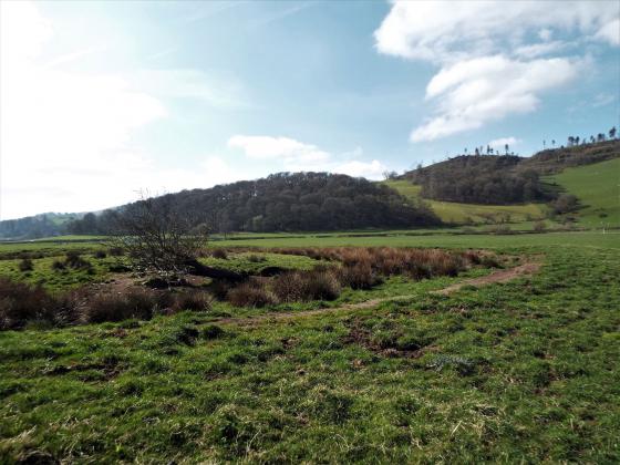
Milton Loch NW Crannog viewed from NNE.
Image credit: Mark Johnstone
Milton Loch NW Crannog viewed from NNE.

Milton Loch NW Crannog viewed from NNE.

Milton Loch NW Crannog viewed from NNE.
Directions: Take the Park of Brandedleys turn off the A75 on the SW edge of Crocketford. Follow the road for c. 0.8 mile to Auchengibbert Farm. Bear left to Kirkgungeon for c. 0.2 mile to a passing place on the left. Park up and follow a vague path along the margin of the field to the W bank of Milton Loch. My route is viewable on Milton Loch Crannogs.
Visited 22.06.23
Milton Loch NW Crannog is in the NW corner of Milton Loch c. 1 mile SE of Crocketford in Dumfries and Galloway. According to Canmore ID 65046 the crannog was revealed when the water level of Milton Loch was lowered in 1953. A causeway c. 100 yards long was marked by a double line of wooden posts leading east to a low stone covered island, measuring 35 feet in diameter. The crannog was a circular house, measuring c. 47 feet in overall diameter, constructed in timber. The interior of the house was subdivided radially into compartments. A 6 feet platform supported by wooden posts surrounded the stony island. A small harbour measuring 35 feet was constructed on the SE of the crannog. Further details of archaeological excavations are available in Canmore ID 65046.
The crannog is now populated by mature trees obscuring the surface of the island and the current high water level has submerged the causeway.