Visited 05.09.23
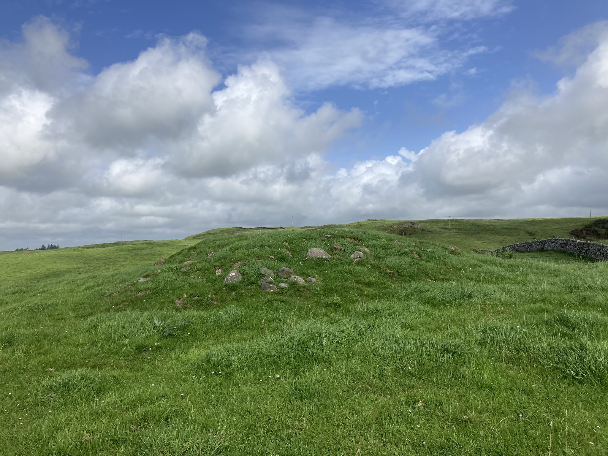
Camrie Fell Cairn is a low grassy cairn, c. 2 miles N of Glenluce in Dumfries and Galloway. The mound is located in high pastureland, c. 500 yards NNE of Gleniron Farm.
The footprint of a round cairn is located on an E-W slope in a grass field. There is a grass bank on the perimeter of the cairn, running clock-wise from the S Arc to the N Arc. The bank measures up to c. 6 feet wide and 2 feet high. The radius of the W half of the cairn is c. 27 feet. The E half of Camrie Fell Cairn has been reduced to ground level. There is only one stone, measuring c. 1.5 feet by 1 foot, on the flat surface of the cairn. It is located in the NE quadrant.
Canmore ID 61601 has a full description of Camrie Fell Cairn.
Take the North St turn-off in Glenluce, heading for the Three Lochs. After c. 1.3 miles turn left down a narrow unsigned lane. Follow this single track lane for c. 0.9 miles. Take a sharp right turn at Keepers Cottage. This rough farm track leads to Gleniron Farm. After c. 0.3 of a mile you will reach a 90 degree corner at NX 1961 5983. There is room to park here. A gate leads NNE up a slope adjacent to a dry stane dyke to a ruined farm. Follow the track though the farm. The cairn is located c. 150 yards NNW in the next field. My route is viewable on Camrie Fell Cairn.


Visited 03.09.23
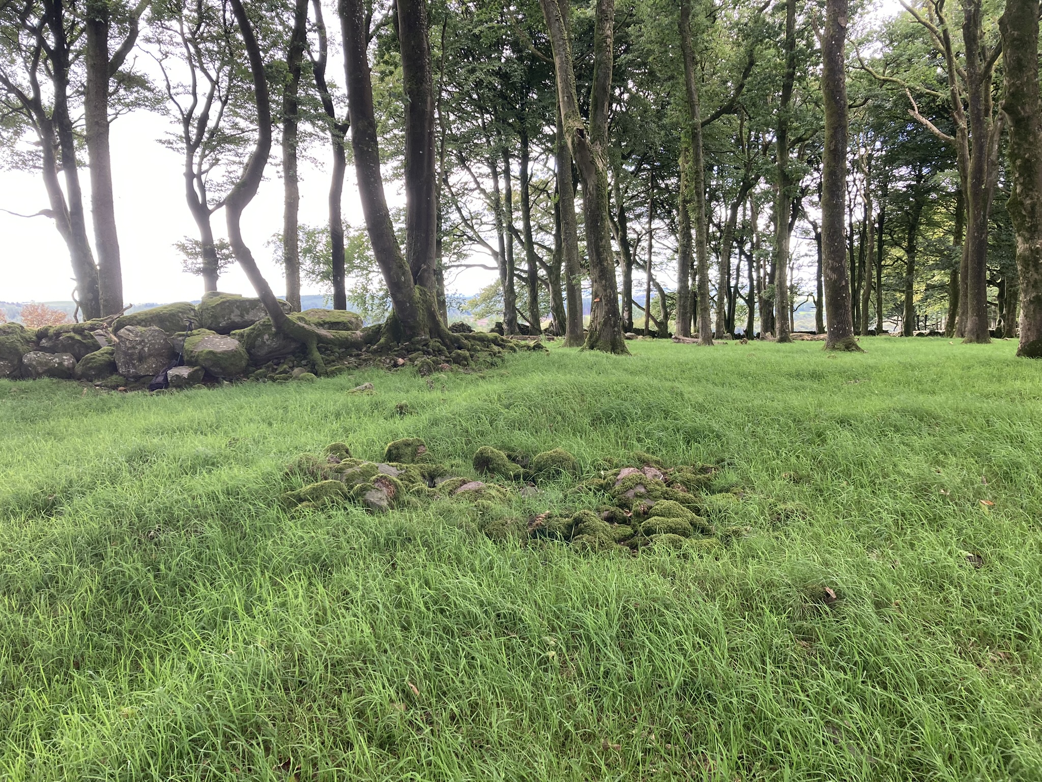
Craig Fell N & S Cairns are located in Glenwhan Forest, c. 3 miles S of New Luce in Dumfries and Galloway. An off-road bike is preferable to travel the c. 3.5 miles via rocky forest tracks.
Craig Fell N Cairn is in a clearing c. 100 yards E of the forest track. It can be accessed by a vague boggy path through scrubby trees. The irregular grassy mound measures c. 50 feet across and 3 feet high according to Canmore ID 61609. Its surface is scarred by plough-lines. There are some medium-sized embedded stones scattered amongst the tussocks.
The smaller S cairn is located c. 75 yards S of Craig Fell N Cairn. According to Canmore ID 61604 Craig Fell S Cairn was one of many small cairns destroyed by afforestation. It is inaccessible due to an impenetrable forest.
There is room to park at NX 1412 6188. My route is viewable on Craig Fell Cairns.


Cairn Wood (Barskeoch) Cairn viewed from NE.

Cairn Wood (Barskeoch) Cairn viewed from SW.


Kerb Stone in N Arc of Cairn Wood (Barskeoch) Cairn.

Kerb Stone in NE Arc of Cairn Wood (Barskeoch) Cairn.

Cup Mark in Kerb Stone in NE Arc of Cairn Wood (Barskeoch) Cairn.

Kerb Stones in E Arc of Cairn Wood (Barskeoch) Cairn.

Large Stones deposited on S Arc of Cairn Wood (Barskeoch) Cairn.

Kerb Stone in W Arc of Cairn Wood (Barskeoch) Cairn.
Centre of Cairn Wood (Barskeoch) Cairn viewed from N.

Moss-covered Stones in Centre of Cairn Wood (Barskeoch) Cairn.
Visited 15.08.23
Cairn Wood (Barskeoch) Cairn is located in Cairn Wood c. 3 miles W of Newton Stewart in Dumfries and Galloway. The cairn is hidden in an enclosed wood c. 300 yards N of Barskeoch Farm. The circular grassy cairn is surrounded by mature trees. It measures c. 70 feet in diameter and 4 feet high. According to a 1912 report in Canmore ID 62939, the mound was surrounded by a peristalith of large stones laid at irregular intervals. These stones are no longer in situ, however, a jumble of around 10 large stones has been deposited on the S arc of the cairn. It is possible that these were the original peristalith stones. The kerb of Cairn Wood (Barskeoch) Cairn is defined by an earth bank c. 1.5 feet high on the E arc and an intermittent circle of kerb stones. There is a large cup mark measuring c. 5 inches in diameter and 2 inches deep on an upright kerb stone on the NE of the perimeter. The interior of the cairn has been robbed-out, leaving an irregular grassy surface dotted with protruding stones. The centre of the cairn has a low grassy mound and a sub-circular rubble of exposed mossy stones, c. 5 feet in diameter.


Centre of Cairn of Knockglass viewed from E.
Visited 11.08.23
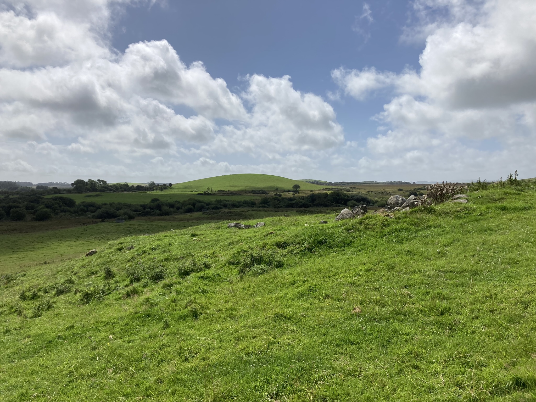
Cairn of Knockglass is a circular mound in arable land c. 1.5 miles N of Creetown in Dumfries and Galloway. The cairn measures c. 90 feet in diameter and 6 feet high. This is a substantial increase of the dimensions quoted in Canmore ID 63531. Cairn of Knockglass had a diameter of c. 50 feet as reported in a 1912 visit. The increase in diameter can be ascribed to the addition of large field clearance stone deposited round the perimeter of the mound. Canmore also records that the centre of the cairn had been cleared out. The current cairn has a flat grassy centre with a few stones dotted on the surface. There are extensive views to the south and west of Cairn of Knockglass.
Cairn Hill (Barraer) Cairn viewed from N.

Cairn Hill (Barraer) Cairn viewed from E.

Cairn Hill (Barraer) Cairn viewed from S.

Cairn Hill (Barraer) Cairn viewed from W.

NE-SW Axis of Cairn Hill (Barraer) Cairn viewed from SW.


Field Clearance Stones in NW Arc of Cairn Hill (Barraer) Cairn
Visited 11.08.23
Cairn Hill (Barraer) Cairn is a grassy cairn in arable land c. 2.5 miles SW of Newton Stewart in Dumfries and Galloway. It is located on the southern slope of Cairn Hill (Barraer). The elliptical cairn measures c. 22 yards on the NE-SW axis and 16 yards on the NW-SE axis. Almost all stones have been removed from the cairn, except for the NW arc. Additionally, field clearance stones have been dumped on the NW arc. Cairn Hill (Barraer) Cairn is listed as Canmore ID 62953.