UncleRob

UncleRob

Images expand_more 101-150 of 175 images
Image of Fussell’s Lodge (Long Barrow) by UncleRob

Fussell’s Lodge

Long Barrow

Another fascinating interpretation of this site’s various stages of use. In this version of events, there is a small house of the dead (with porch!) before the palisade is erected or the earth heaped up. It seems plausible that many other long barrows (but not all) had some wooden structure around the bones and in some cases (viz Nutbane) these had even been burnt prior to the heaping up of earth. Did one set of beliefs violently supersede another like the dissolution of the monasteries?

Image credit: From "The Earthen Long Barrow In Britain"
Image of Whiteshoot Hill (Round Barrow(s)) by UncleRob

Whiteshoot Hill

Round Barrow(s)

Looking NNE from the top of the ridge, towards Danebury, this big barrow and its two smaller companions would have had a commanding position over the land around the Wallops.

Image credit: Copyright waived UncleRob
Image of Itchen Stoke Down Barrows by UncleRob

Itchen Stoke Down Barrows

Barrow / Cairn Cemetery

Looking roughly North into the field with the barrows, from the top of the byway that leads to/from Abbotstone farm. On the left you can see two bumps marked with my bright yellow panier bags on top, and over to the right is the third barrow marked with my red fleece (which is a faint dark dot). Jumpers for goalposts isn’t it?

Image credit: Copyright waived UncleRob
Image of Telegraph Hill Barrow (Round Barrow) by UncleRob

Telegraph Hill Barrow

Round Barrow(s)

The barrow occpies a fine position to be seen from around the Chilcomb valey and other hills. This is from Magdalen Hill Down, without zoom, by the (modern) cemetery, a distance of about one and a quarter miles. See the cow on the right? Look at the skyline straight above its backside. There’s a copse on top of the hill and a lower dark mound immediately to the left – that’s your barrow, that is.

Image credit: Copyright waived UncleRob
Image of Love Lane (Round Barrow(s)) by UncleRob

Love Lane

Round Barrow(s)

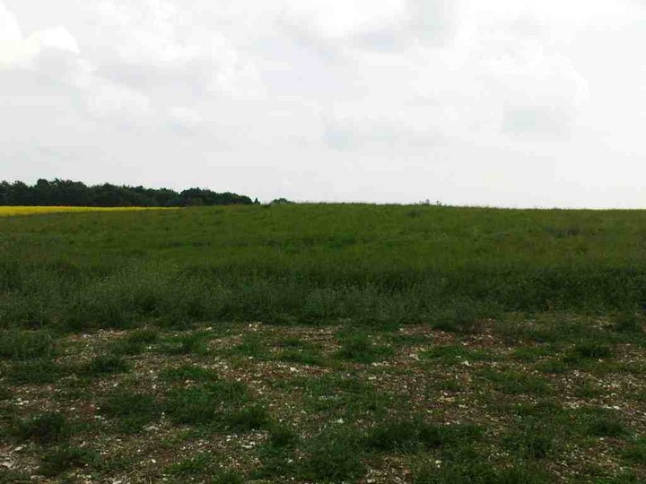
What remains of the barrow is a slight mound in centre foreground with the chimney of the Twyford Pumping Station rising directly behind its centre. Yes, you do have to look very closely... and it is being ploughed lower and lower each year.

Image credit: Copyright waived UncleRob
Image of St Mary’s Church, Twyford (Christianised Site) by UncleRob

St Mary’s Church, Twyford

Christianised Site

Another roaming sarsen? Was it tossed here by a giant sitting over the other side of the river in Badgers Farm? Does his grave now form the embankment where the bottle banks are at sainsbury’s car park? Am I not taking this seriously enough?

Image credit: Copyright waived UncleRob
Image of Telegraph Hill Barrow (Round Barrow) by UncleRob

Telegraph Hill Barrow

Round Barrow(s)

Large mound on the north side of the track. In the distance you can see the gleaming planetarium at the Intech science museum. A nice contrast of Bronze Age mound and Space Age mound. The shadow is cast by the tall cypress trees alongside the track.

Image credit: Copyright waived UncleRob
Image of The Avenue (Ancient Trackway) by UncleRob

The Avenue

Ancient Trackway

Riverside excavations 2008: just at the top of the rise near the end of the Avenue where Stonehenge suddenly appears is a point where some of the carving and shaping of the stones took place. A shallow dig found scattered sarsen and bluestone fragments on the surface of the chalk & flint “bedrock”. Intriguing that both types of standing stones were worked here with such a long time gap between them. The bluestone is on the left and two sarsen chunks on the right.

Image credit: Copyright waived UncleRob
Image of Gate Ditch (Ancient Village / Settlement / Misc. Earthwork) by UncleRob

Gate Ditch

Ancient Village / Settlement / Misc. Earthwork

This is very tricky to photograph, so get your specs on and peer closely. The gate ditch extends from bottom left up to top right, passing in front of Jimit (kneeling respectfully? no just looking for his baccy) and ending up between the orange health ‘n’ safety netting and the blue archaeologist-carrier. It is on the surface about an inch or two’s depression, about 2 feet wide at most. Here, incidentally, we are just outside The Avenue’s “elbow” (there’s a water trough nearby for the sheep) and looking towards Stonehenge, which is just over the rise.

Image credit: Copyright waived UncleRob
Image of West Wood (Round Barrow(s)) by UncleRob

West Wood

Round Barrow(s)

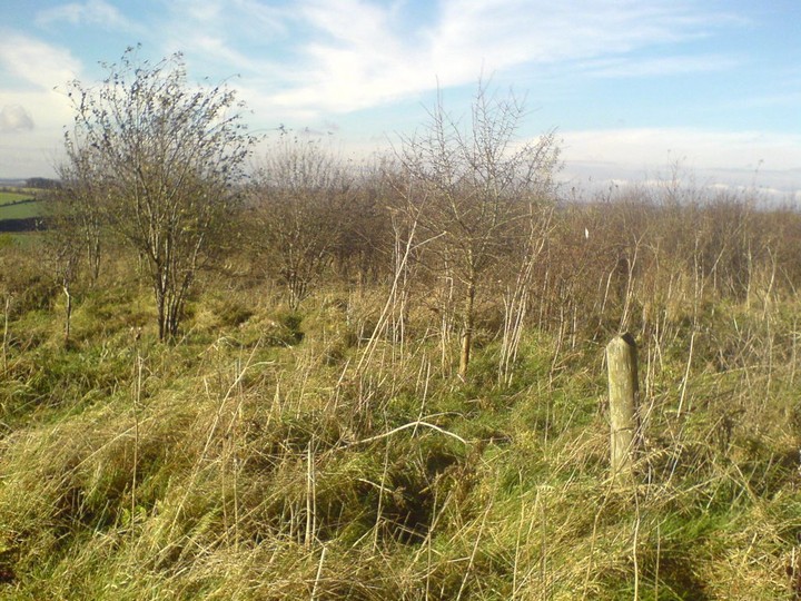
The “Burrow Road” barrow emerges if you go down the little footpath between the Forestry Commission gravel road and the bridleway-signposted Burrow Road.

Image credit: Copyright waived UncleRob
Image of Woolbury (Hillfort) by UncleRob

Woolbury

Hillfort

The causewayed entrance on the small section of ditch accessible at the hill fort. Lower stretches of the Test valley in distance.

Image credit: Copyright waived UncleRob
Image of Inappropriate/irrelevant images by UncleRob

Inappropriate/irrelevant images

The round barrow next door again. There was no sign of humans using the plot as anything but a short cut from one road to another, but once I stopped and took a photo, this local inhabitant came out of the undergrowth to say hello.

Image credit: Copyright waived UncleRob
Image of South Wonston Long Barrow by UncleRob

South Wonston Long Barrow

Long Barrow

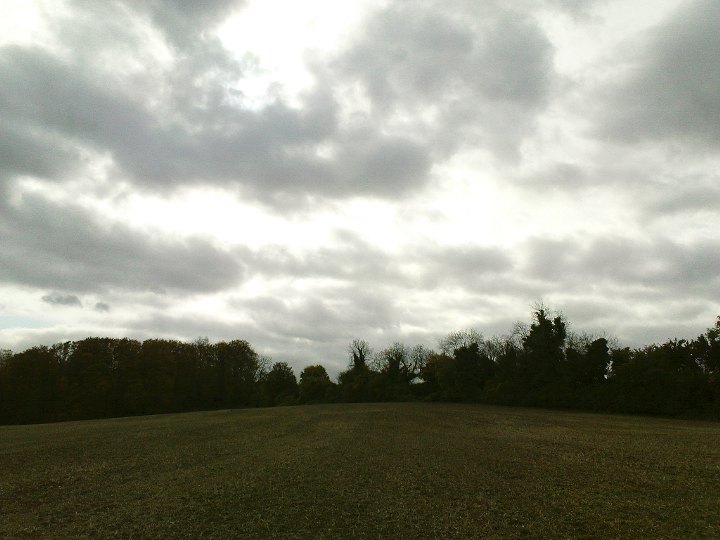
Round the back of the long barrow is its neighbour, a similarly flattened round barrow. Both this “West” long barrow and the “North” one were given accompanying round barrows later on.

Image credit: Copyright waived UncleRob
Image of Flowerdown Barrows by UncleRob

Flowerdown Barrows

Barrow / Cairn Cemetery

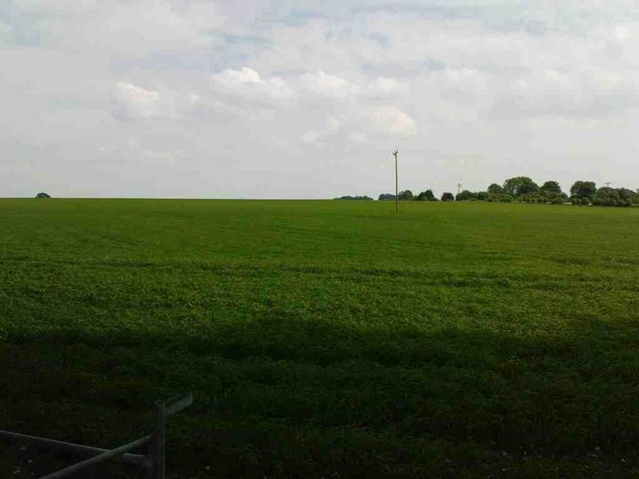
From the centre of the disc barrow, looking back towards the large bowl barrow. In the foreground is the small mound at the centre of the disc barrow. Much harder to see (I took lots of photos from every angle...) is a smaller secondary mound further away and to the right. That makes it north-west of the centre.

Image credit: UncleRob copyright waived