
Just one part of the ditch around this whopper of a disc barrow.
Image credit: UncleRob copyright waived
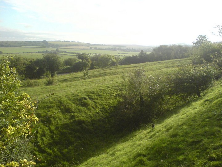
Just one part of the ditch around this whopper of a disc barrow.

Another clear pair of groovy grooves. Possibly others on either side too.

In at least three places on different sides of the sarsen there are these parallel grooves. Uncle’s hand (5’11”, pianist) is here to give you a sense of size. Glacial striations? Too regular I think, especially as they are on opposite sides of the stone. Perhaps they were made in ploughing up the stone, but again I’m not sure it would have been ploughed “over easy”. Any thoughts y’all?

To give you an idea of the size of the sarsen, and how lovely the place is in early summer sun, ahhh.

Seen from the East side, from near the smallholding called Texas.

Mmmm, nice telephone pole. This is the larger of the two. Don’t be put off by the vegetation, you can still see a lot of the shape of the barrows, and there are some tasty blackberries in there.

Seen from the Northeast side. Yew Hill in the background.


The largest of the well-preserved barrows. To give you a sense of scale, you can see Uncle’s bicycle on the right.

Looking west across the alignment of barrows / brow of the hill. There are two barrows very much flattened over time among the vegetation.

The middle of the five, looking south west. St Catherine’s Hill is in the left background, seen from an unusual angle, and yes there’s that sodding motorway again.

The three most prominent barrows, looking east.

Among the Dongas near the Eastern end of the nature reserve is this little mound, seemingly worn into an elongated shape by two of the tracks. It does stand out among the other shapes here, but whether it is a worn-down barrow I can’t say. It’s about 1 meter high and might once have been 15 meters diameter. There’s no obvious sign of a ditch. However, it certainly looks from the dimple on top like some Victorian gent thought the same as me at some point and took a shovel to it.

Looking down one of the deeper dongas toward the Itchen valley and Winchester.
There are several dongas alongside one another at this point, which would have been the only way to descend to the north of St Catherine’s without going down a steep embankment – important if you’re taking animals to market. Going the other way, where the land flattens out on top of the downs they seem to diverge, with some heading east towards Cheesefoot Head and others south-east towards Morestead.

Looking down from two converging dongas at the side of St Catherine’s Hill, this is the view you would have had as you reached the end of your journey over the top of the downs... except for the blue A33 sign in the distance...

Both stones seen together on a typically unpredictable wet and windy day in May.

From the bottom of the hill, by the river Itchen, showing just how steep it gets and how it would make you think twice about charging up there with your mates for a spot of pillaging. The daisies are growing on the former site of the M3. The current motorway is not so picturesque!

A little way East down the nearby road, in the direction of Studland, this layby / view point seemed to have two stones originally from the circle or its now dispersed avenue. Similar sandstone (Nine Barrows Down is chalk / flint downland) and size.

One of the uprights nearest the road, about 4 foot high.

One of the group of uprights nearest the road, about 4 foot high.
