
The northern ditch and bank, at this point there is an inner and outer bank.
Image credit: Mike Rowland 29/04/09
The northern ditch and bank, at this point there is an inner and outer bank.

The southern end of the west bank and outer ditch.

The interior of the enclosure, the western bank is on the right in the photo.

The eastern bank and ditch, looking north.
Another visit to this site to find three more barrows. These are all to the west of the two in my original posting. The central pair are about 50 feet apart, the eastern one has been savagely “excavated”, probably in the 19th century. The second of the pair is in much better condition. Both are covered in low scrub, but appear to have been cleared of thick vegetation recently, I suspect I have walked straight by them in the past.
The next two in the group are a bell type about 100m west of the central pair. The next barrow is a bowl type with an outer ditch and bank, difficult to see as it is covered in dense foliage.
The fifth barrow is the most westerly of the group and is just inside the heathland / forested area of the ridge on which the cemetery is sited. It is covered in youngish beech trees and does not appears to have been dug up in the past.
Athough most of the site is now tree and gorse covered these barrows would have been in clear sight from barrows to the north. These are Double barrow and a pair at Tolpuddle ball which are hidden in dense undergrowth.
There are at least another 3 barrows to be found in this group, inclubing a bell type and a bowl with an outer bank.
All these barrows are now surrounded by a ring of posts with chamfered tops with a carved M on the angle, these appear to be placed by the forestry commission to protect the monuments. I have also seen this at the nearby Yon barrow in Wareham forest.

The most westerly barrow in this group of barrows.

The second of two central barrows.

One of two bowl barrows in the central section of the cemetery.
This bell barrow is south of the extended cemetery on Waterston ridge. I have made it a seperate entry because it is a good example of the comparatively rare bell type of round barrow. Of the 1800 or so barrows in Dorset only 70 or so are of this type.
This barrow is in pretty good condition, particularly in comparison with most of the others in the nearby group. The farmer has deliberately ploughed around the monument , thus helping to preserve it. It is 20metres in diameter, 2.5 in height, has a berm of 2.5 metres in width and a 4 metre wide ditch, part of which has been lost to the plough.

The bell barrow south of Waterston ridge.
This strung out barrow cemetery sits on and around a ridge of hills north-west of Dorchester. It is neatly split into east and west by the B3143 road to the Piddle valley to the north. Of the 8 or so barrows in the group the best preserved is Grinsell’s Puddletown 13 in the western part of the cemetery. Most of the rest in Grinsell’s book Dorset Barrows have been very much reduced by ploughing, the book having been published in the 1950’s.

One of the eastern set of barrows, Puddletown 12.

This very slight, virtually ploughed out barrow is a couple of hundred feet south of Puddletown 13 on the same alignment.

One of the western barrows, Grinsell’s Puddletown 13.
A pair of round barrows to the south of the Ox Drove. Both are bowl types, are low in height and appear to have been excavated at some time. The pair of barrows on Trow down are about 1/2 a mile to the west and Winklebury hillfort is another mile further.


The larger western barrow from the Ox Drove.

Two round barrows north of the Ox Drove, Winklebury hillfort is about a mile to the west of these mounds.

Two round barrows on Trow Down, north of the Ox Drove.

The south eastern corner from the Ox drove to the south.

Round barrow just south of the rear rampart of the hillfort.

The southern rampart from the rear looking north.

The field side of barrow 31 showing the plough damage.

This is possibly the most bably damaged barrow I’ve seen, the field side is almost entirely ploughed away and the road has cut away a large section of the mound. This is numbered as Bincombe 31 (Grinsell et al.)

One of the most westerly of the group, this has been much reduced by ploughing.

These are part of the contents of barrow no. 7, the one nearest the reservoir, in Dorset County Museum.

The long barrow and a round barrow from the west.

The most easterly of this group of barrows, the road is closed for the construction of the Weymouth relief road.

Five of the barrows from the village of Sutton Poyntz in the valley below.

The contents of Clandon barrow, on show in the Dorset County Museum.

An aerial view of the hillfort, unfortunately not dated, I assume it’s pre war as much more polughing seems to have happened to the site.

Maiden Castle and Hog hill in the snow.
A return visit to this site, not so peaceful this time as the army were playing war very close by. This time I was able to get onto part of the hill where the barrows are. I could only get photos of the northern three, they appear to be in good condition although low and covered in bracken.
It’s an odd site this with, what appear to be two sets of barrows on different levels but well worth a visit for it’s oddness and peacefulness – just don’t go on a thursday!

The southern barrow, at the highest point of the hill.

The most northerly and largest of the hill barrows.


The northern barrow from the heath below, looking east.

One of the barrows from the eastern rampart of Abbotsbury castle.

The north rampart and the barrow looking west on a freezing boxing day.

Corfe Castle from Middlebere heath, to the north.
This barrow took me some time to find, three trips in all. It is in Grinsell’s Dorset barrows where it is described as “large”, suggesting he couldn’t find it either. I’m not surprised as the barrow is in a large plantation of conifers and appears to have been cleared fairly recently.
It has an external ditch about 2 metres wide and the vestiges of a bank. There were several badger setts showing recent footprints on the north side. The forestry commission have marked the site by placing angle topped wooden posts at the four cardinal points, I assume this is a protective measure.
M.A.G.I.C. gives its dimensions as 15m in diameter by 2.45m in height and say it is built from turf,earth and sand.

The barrow from the tracck to the west.


The “pound” from the west.
This is a barrow cemetary on the northern edge of the New Forest. Access is easy as a large layby on the busy A31 gives direct access. Also to the north of the site is a large car park, one of many provided by the New Forest countrypark.
The barrows are in some of the worst condition I have ever seen. This contrasts with the entries on M.A.G.I.C. and may well mean that I missed some small ones that haven’t been damaged. The four pictured have all been robbed or very poorly excavated. The largest on the site has a large crater in the centre of it and is the least damaged!
The small, low barrows all had large cross shaped trenches across them and look ok from a distance, the damage only becomes really apparent up close.
Having said all that, the site is worth visiting and had I had more time I would have visited the hillfort in the forest nearby, Castle Piece.

The most southerly and biggest barrow on the site.

One of the smaller northern barrows.

A much damaged small barrow.
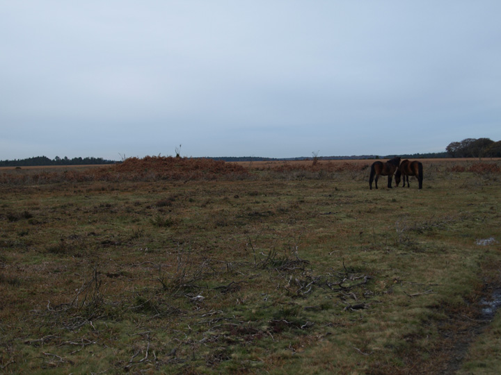
The largest barrow on the site, with ponies.