
Looking east towards the inner entrance.
Image credit: Mike Rowland 07/04/07
Looking east towards the inner entrance.

The area of the landslip on the southern side of the hillfort.

The northern banks and ditches, the trackways in the distance are part of the military training area.

Two very good reasons not to ignore the red flags when they fly them.

The eastern inner bank and the middle ditch.

The eastern inner corner and the north bank.


The outer and middle eastern banks and ditch.

Looking down on the landslip, with Worbarrow Tout in the background.

The second largest of the barrows, on the west side.


The most easterly barrow in the group.

A small barrow on the east side of the common, with the Purbeck hills in the background.

The largest bowl barrow on the west side of the cemetery.

A medium sized bowl barrow, on the east side of the common, showing clear signs of having been dug into.

The northern most barrow in the group.

Eggardon hill from Powerstock common, the barrow is about 20 yards to the west.
A small, low bowl barrow in Powerstock Common nature reserve. The common is about a mile and a half north of Eggardon hillifort. Also in view are the barrows north of the hillfort.

The southern, lower side of the barrow.


Not very easy to spot but there is a barrow on the ridge.

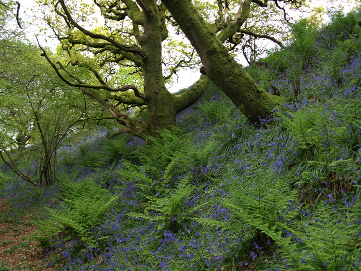
The copse within which sits the long barrow.
This is part of an extended cemetery which stretches from west to east from Waterston Ridge to this site. From here Waterston is two miles away on a bridleway. This barrow is just below the ridge on its north side. The most prominent barrow is on the crest and is visible from Poundbury several miles to the south. I didn’t have time to get to it, as the heavens opened and it poured with rain.

One of the barrows from the north.
Although there are no specific sites on the island it has been shown to have been occupied since 500 bce. It has been excavated several times, Iron Age pottery and metal working waste have been found. Also a wooden boat mentioned in the news section of this Dorset part of TMA was dredged up very close to the island while clearing the channel between it and the mainland.

Brownsea Island from Shipstal Point on the mainland.

Although not strictly from this site, but from a flat site near the hamlet of Whitcombe below, this is the"Whitcombe Warrior”.

View taken from outside Max Gate – Thomas Hardy’s house, very close to the site of Flagstones neolithic henge.

The east barrow from the summit of the western one.


The eastern monument from the east.


This single bowl barrow is about 2 miles west of Pallington Clump on a military training area. The monument has a diameter of about 20 metres and is 1.2 metres in height. Magic says it has a ditch on the east and south sides, this is inside the danger area and wasn’t visible from the road. On the summit is a star shaped marker and it has been protected from military damage by large logs around the base.

The bell barrow looking south from the track.


The western bowl barrow from the top of the bell barrow.

The south side of the bowl barrow, 1 of the western pair.

The barrow from the south west, the sign is a warning that this is a military training area.


Lewesdon hill from the car park below Pilsdon Pen.

The interior of the northeast part of the hillfort.

The eastern half of the cut off southern section.

The southern ditch, between the banks that sub-divide the north and south sections of the hillfort.
The inner rampart looking up from the ditch.

The central ditch between the eastern pair of ramparts.


Poundbury from the north, showing the interior of the hillfort and the roman aqueduct, which runs along the hillside.
This is a late prehistoric small enclosure. It is about 100 metres south of Sheep Down long barrow. On the western and eastern sides it consists of a single bank and outer ditch. The northern and southern ends are double banks with a ditch between them.
The site measures 45 metres along the east/west sides and 25 mtres along the north/south ends. The banks are 3.5 metres across 0.5 metres high. The surrounding ditch is ditch is 4 metres wide and 0.5 metres deep.
This was once thought to be roman, but as it does not conform in shape and size to known roman fortlets or signal stations, finds have now been found which show it’s earliest origins to be late bronze age.
The site was in use for many hundreds of years, if the pottery evidence from the enclosure are taken as evidence. These sites are usually associated with field systems and several exist within a short distance.