
The interior of the northeast part of the hillfort.
Image credit: Mike Rowland 01/05/09
The interior of the northeast part of the hillfort.

The eastern half of the cut off southern section.

The southern ditch, between the banks that sub-divide the north and south sections of the hillfort.
The inner rampart looking up from the ditch.

The central ditch between the eastern pair of ramparts.

The eastern outer bank, looking south.

The south east corner.

The north west corner.


The ditch between the two easterm ramparts looking south.

Near the entrance.

The north western ditch and double bank.
The northern bank and ditch.

the north west corner.

The western rampart.
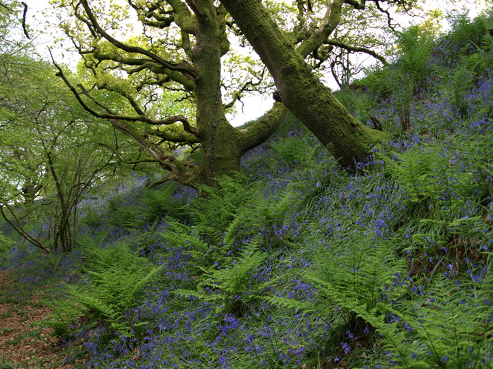
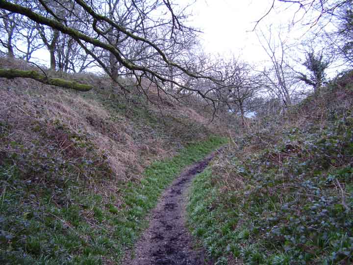
This is a really nice medium sized hillfort. It’s on the western border of the Durotriges and the Dumnonii , of the three hillforts in the immediate area ( Pilsdon pen and Lamberts castle ) it is nearest the sea. Unfortunately it is split along its length by a single track road , which looking at the age of the trees along its edges and its depth below the level of the hillfort has run through it for many,many years. The banks and ditches are in good order and are double on the north, east and southern sides , the west side only needs one small bank as it drops steeply into the valley below. Golden cap can be clearly seen on the coast to the south as it can be from the other hillforts mentioned above.
“Conig or Kings Castle, as its name implies, is said to have been the headquarters of King Egbert when he fought his brave, but losing battle against the Danes at Charmouth beach in 833” (Turner 1947). The same romantic etymology has occured to other authors, with similar developements: in fact the name means what it says, rabbits’ castle.
The National Trust booklet ‘The Cerne Giant & Dorset Hill-Forts’ (2000) which is definately available at the Kingston Lacy house and might be available at other Dorset properties, gives the following directions to the hill fort at Coney’s Castle, “From the track leading to Lambert’s Castle continue on along the B3165 for 300m. Turn left to Fishpond’s Bottom. At Fishpond’s take the third turning to Wootton Fitzpaine. This road passes through the centre of Coney’s Castle. You will see the car park on the left just before the road enters the hill-fort”.
It adds that the name ‘Coney’s Castle’ means a fortified place frequented by rabbits and that the earliest documented reference to the place name dates from 1322.
Note – the car park is at about SY371977.
Coney’s Castle lies south-east of Lamberth’s Castle on the western edge of Dorset and has never been excavated.
Both hillforts lie on the boundary between the ancient tribes of the Durotriges, in Dorset, and the Dumnonii in Somerset.


