
A much ploughed round barrow to the north of the long barrow, in the same field.
Image credit: Mike Rowland 21/02/10

A much ploughed round barrow to the north of the long barrow, in the same field.

A round barrow taken from the Hellstone.

The Hellstone before it was rebuilt in 1866, from John Hutchins History of Dorset.

Crow Hill from The Valley of Stones.

The eastern entrance of the hillfort, from the south.

This earthwork is on Ternnants Hill, the photo is taken from the road which runs above the Valley of Stones. The bank of the hut circle is at the extreme right of the photo.
The barrow is about 200 yards north-west of Kingston Russell stone circle.

The Valley of Stones from the east, next to the edge of Blackdown.


A pair of round barrows on Friar Waddon hill.

Three barrows on Friar Waddon hill from nearby Corton.

A single round barrow, one of a pair, the western most of the group.

A close up of the eastern end of the bank.
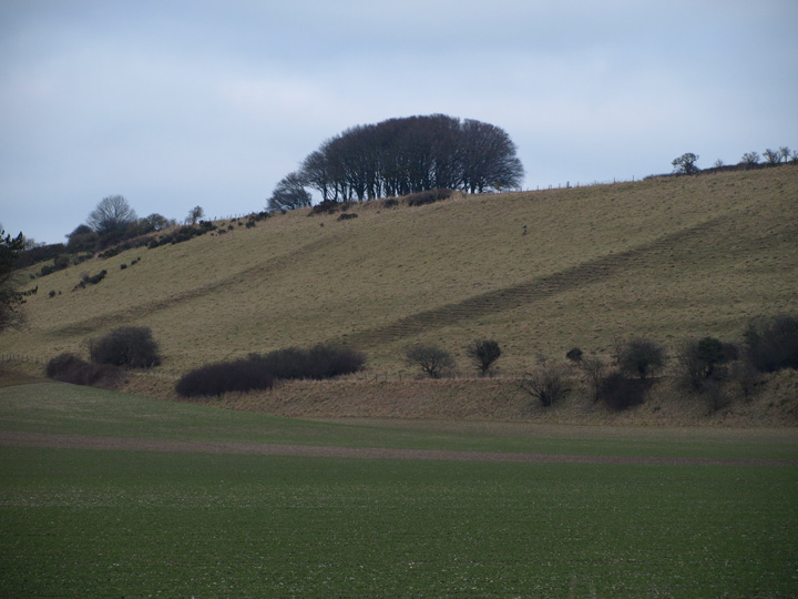
Field boundaries sloping down from the main settlement. The clump of trees is where one of the barrows is.

What looks like an outer bank, from the Sydling valley below.

Most of the hill, from the valley below, looking east.


The most substantial part of the banking which can be see from the road below it.


The bell – disc barrow from the west.

A small barrow on the other side of the Weymouth road.

A bowl barrow with the hybrid behind it.

The middle of three ploughed barrows.
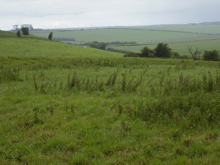
The curve of the outer bank.

The north of the barrow, note the length of the outer bank.

The large bell / disc hybrid from Ridge hill.


The whole of the group from the east, near sunset.

The second barrow from the top of the first.

The central barrow of the triple, the most damaged in the group.

The central barrows in the group.

The fourth of the group from the top of the third.

The large western barrow, showing the large chunk dug out of it.

The Triple barrow from the east, the centre barrow has been extensively dug out in the past.


The large western barrow of the Bincombe Bumps group.

One of the barrows from a nearby carpark.

This is one of the western group, just adjacent to the road.

One of the eastern group, this is the most complete and least damaged.

The westernmost pair in the cemetery.

The second most easterly of the group.

This is next to the road on the east side of the group.

The most easterly of the group.

An aerial photo of Poundbury from the 1930’s, north is to the right of the picture.

This is a northern outlier, near to Blagdon barn, it’s not really part of the Blackdown group but would be too confusing as there is another site called Blagdon in the east of the county.


The Trendle can be seen as a raised bank, just above the Giant.

Fabulous gold torcs and a hoard of bronze axe heads in Dorset County Museum.
