
Knocknarea to the left on the horizon, Benbulben to the right. The mountains that can just be made out in the hazy distance between them are Slieve League in Donegal.
Image credit: ryaner

Knocknarea to the left on the horizon, Benbulben to the right. The mountains that can just be made out in the hazy distance between them are Slieve League in Donegal.

Hard to believe at this height, but a lot of the cairn material has been robbed.

Over the north-eastern shoulder of the cairn. An area at the north end of the mountain plateau was excavated, creating a flattened platform on which the cairn was built. One would likely presume with all the work that its construction entailed that it contains a passage tomb, but I wouldn’t be surprised if it doesn’t. I couldn’t make out likely passage entrance.

Keshcorran cairn is the largest of all the cairn and passage tomb monuments in the Carroweel/Keshcorran complex.

Keshcorran approached from the north-west, the view as we first saw it after our circuitous route up from the caves.

The small mound of stones on top of the cairn. Knocknarea is 20kms or so to the north over the topmost stone.

Over the southern shoulder of the cairn, the flat top of Keshcorran mountain stretches away to the right. Carrowkeel is in the middle distance to the east.

Keshcorran cairn. Between the left of the bottom of the cairn and the little bump (actually the old extent of the cairn) is Knocknarea mountain, the focal point of most of the monuments in Carrowkeel/Keshcorran.


I ventured in to all the caves, but never as deeply as was possible. Most were dank and dripping. Were they ever inhabited? Probably, would be my sense of things. The remains of campfires and the beer tins show they still have a draw.


Another one the connecting channels, this one lit up with flash. Despite all my wishful thinking, I couldn’t ever call these interiors cozy.

Access to this site is not for the faint-hearted. Along the cave-notched cliff-face and just to its left on the horizon line is Knocknarea.


Some of the smaller entrances actually lead into the deeper caverns.

Some of the caves have connecting channels that are perpendicular to the cave entrances. This is between H and J (I think) with artificial light from a torch.


The floor is very damp about 15 metres deep inside the large cave E/F.

The largest entrance at Kesh caves, marked E on Praeger’s plan and also known as Cormac’s cave.


Looking east. Great stone, in slight danger of getting overgrown. The owners were happy to let me see it but didn’t seem to realise its true value.


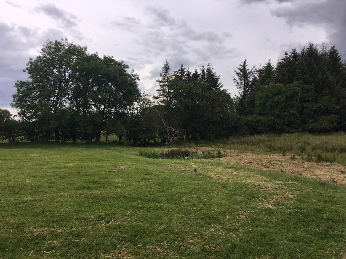
The pond with the possible roofstones, seen from the tomb remains.

The type of place that has you wondering why they left anything here at all. Sad.

The remaining, set chamber stones are towards the back of this shot. None of the stones towards the front here are in their original positions.

At a nearby pond, these possible roofstones are unceremoniously dumped.

Tumbled mess at the possible front, court area, of the tomb.


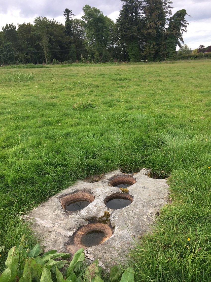
Single bullaun in this monument rich area. There’s a souterrain in the enclosure to the right.


Waiting for the sun up at cairn K looking down towards H and K. It never happened.


G, with H and K over its shoulder. The naming system is dull but it’s handy.

12 part series on the archaeology of Sligo, including individual podcasts on Carrowkeel, Mullaghfarna and Carrrowmore.


Achonry boulder burial, with Knocknashee in the distance.

Cairn P at the edge of the sheer cliffs of Doonaveeragh mountain.

Cairn P is on the northern tip of the summit of Doonaveeragh mountain.

Pano from the south of the small cairn P, cairn O to its left in the near distance.


Kerbstones on the northern arc of the cairn.

Looking north-west towards the main cairns on Carrowkeel. Cairn G is on the extreme right.

The cairn as I approached from the north-west.
