


Looking north-east from on top of the mound. Knockananiller, with its passage graves, is the tree covered hill in the far distance.

The mound looking roughly east. The only stone visible on the mound can be seen bottom right


The massive motte to the north of the cave. This shot is taken just 10 metres below the cave.

The nearby St. Kevin’s chair. Sit in it and your view is towards the cave


The mystery of bullaun stones finally cracked: nurseries for tadpoles!


Most of the structure of the collapsed tomb is still here.


Ballymaice from up a tree. It’s easy to see why this was called a stone circle on the old OS maps. In fact it would be hard to argue against that classification, and say that there was a cist in the middle.

Ballymaice looking north-east towards Howth & Lambay (between the trees)


The tree-line that used to give you your bearings is gone, the trees are down, and there’s an unholy mess to be traversed before you get to the circle. What wonder and joy when you get there though. The circle pulls you in, the views opened up all around. Keadeen is a monster brooding in the clouds to the east. Brusselstown hillfort dominates the north-west.
We had precious little time to drink in the rest of the views: we arrived 5 minutes before a bunch of worshippers took over the circle for their rituals. Were we pissed off? Not half mate!


Seefin Hill to the right, Seefingan to the left, two parts of the passage grave cemetery that includes Seahan Hill in Dublin.
I heard Christian Corlett mention this stone during a talk he had given on the rock art of South Leinster. Ken Williams had attended the talk and posted the recording on da web. I’ve been curious about the stone for a while, located as it is in the megalithically sparse south central Wicklow mountains. It’s also a place where I spent quite a bit of time as a youngster and it was a great excuse to return to Glenmalure.
I ran a find on cup-marked stones in Wicklow on the archaeology.ie database and sure enough there it was! The placement on the map is bang on though the satellite map is quite a bit older than reality which was confusing at first. Using OS sheet 62, find the first forest track on your left after the sharp right turn coming up the road from Drumgoff. The stone is in the field above the end of this track, a little to the right and about 150 metres away.
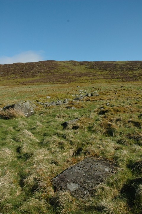
There are hut sites and enclosures marked on the archaeology.ie map in the vicinity. These are hard to make out and there’s supposed to be one about 10 metres from this stone. The stone itself is flush with the ground, slab-like, roughly a metre by 500cms. There is one main concentration of cup-marks towards the north-east of the stone. These are placed in more or less a straight line. There are about 10 other cups sacattered around the rock in various states of erosion.
I loved the area, Fananierin mountain to the north-east, the small valley created by it and Slieve Maan to the south-west, Drumgoff brook at its bottom feeding into the Avonbeg. The faint feeling that these cups might be natural solution pits faded as I strolled around in the sunshine, examining the hut-sites and enclosures.


There are 2 bullauns close to each other here. If you face the inn, they’re over the wall to the left of the bar entrance.

There are 2 more single basin bullauns over the wall in the left of this shot.


Ever since the smoking ban there’s been a roaring trade in bullaun stones. Every pub should have one.

There are 4 bullaun stones in the vicinity of the Moone High Cross Inn that I could find (there may be more), 3 singles and a double. We’d stopped here for a spot of lunch and when I spotted the rough-hewn boulder outside the bar I thought; it couldn’t be – a bullaun stone being used as an ashtray!
On further investigation I encountered the other three around the pub amongst various modern stone circles and follies. I asked the landlady where the bullauns had come from and she said that her husband had dug them out of a wall under the road outside the inn.
These are not on archaeology.ie and I’ve never come across any mention of them elsewhere. Strange.

The platform of the interior of the circle falls away on the exterior on the north-west side


North-west, down the Dodder valley, with Piperstown Hill prominent

Looking across the circle over to Ballymorefinn and Slievebawnogue


