


I can see this cairn from my house in Cahir, originally I thought it was the cairn on Sturrakeen. However it is on Slieveanard, its funny the cairns that are marked on Greenane West and Sturrakeen dont look like cairns at all while this one definitely is a cairn but isnt marked.
The cairn itself is about 2m high by about 15m diameter. There is a fantastic view from it back along the spine of the Galtees. It is a relatively easy climb up. I followed the path marked on the OS map that takes you up to the lower of the two peaks and then walked from there over to the higher one.
The cairn on the higher peak isnt visible from the lower.

This part looks new, however the base of the cairn could potentially be ancient


Cairn on the higher of the summits, has an OS Trig point on it


Small cairn on the lower of the two summits at Slieveanard at R993258

Looking toward the lough where the stones disappear into the rough is where it turns to the right.


megalithomania.com/show/image/4449
To get an idea of how this used to look, when I looked at this post-card I could immediately understand the rather unusual layout.
The first photo is looking south and then the second photo is where the tomb turns almost to a 45 degree angle.
This can be seen from Fourwinds postcard in the misc section.


On the OS Map there is a cairn marked between the summits of Greenane and Greenane West. I made the difficult climb up to 800m and 5km from the road using the path that is shown on the OS map that stops short of the summit.
When I got up there I couldnt find anything that resembled a cairn the only thing up there is “O’Loughlins Castle” which I’ve added a photo of. I’ve been meaning to check out the old OS notes for South Tipp in the Local Studies area of Thurles library.
I’ll see if this cairn has been destroyed or what it referred to.
This mound is in the grounds of an old gentry house in the village of Ballynacorra just outside midleton.
It must be about 6m high by about a diameter of 15m.
Its hard to know exactly what it is without further reseach.
For being ancient: it is very close to an early Church site and is not marked as a motte or such. On the against side: it is in the grounds of a gentry house and could possibly be a folly.
To back this up is the path leading to the top and the chair on top.

Church alongside the mound to show that this may have been a pagan site that was reused as a Christain one.


Mound behind wall, the wall is about 2.5m high so mound must 5-6m high at least.


Im not really convinced about this being a cairn but it is marked as such. It seems to me to be a rock formation with possibly some cairn material piled up against it but I’m pretty dubious. Would be interesting to see the OS notes attached to this one.
Perhaps the cairn has been removed but I dont see who would go to the bother. Use moutainviews.ie for directions up.

There may be some cairn material piled up against this rock, Im not convinced though.
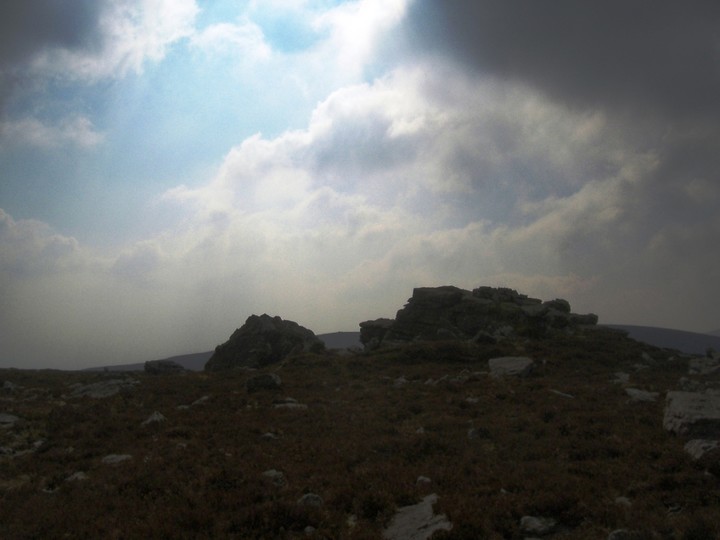
The rock formation with the cairn on Laghtshanaquilla in the gap.

Only just noticed this on the pic, is that a head and body lying down!
I climbed up from the road, best to use mountainviews.ie for directions. The cairn isnt that obvious from the surrounding hill side when you are right beside it however it can be seen from far away. The north side of the cairn really isnt cairn like at all and it seems to be the east-south-west sides that are cairn like.
If it is a proper cairn then it is pretty huge, i couldnt really estimate because the north side flattens off.
You can see for miles up here and to a number of different hill-tops, some have cairns that are marked on the map, others that dont but have cairn-like features on top.

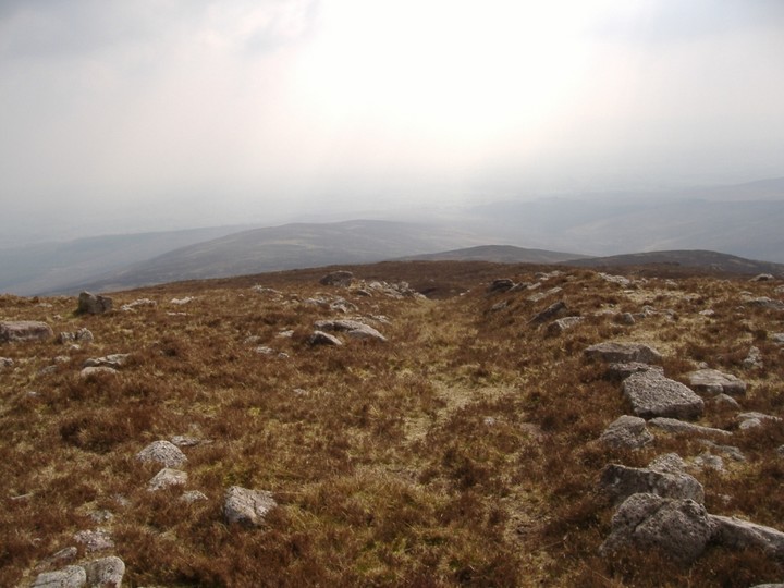
A path runs alongside the cairn and stones have been piled up on either side

The cairn is hard to make out on the hill itself but comes out pretty well in this picture

This stone row was tricky enough to find in the middle of a pine plantation which thankfully is cut down at the moment. It is just off the road and probably best found with an OS Map.
The row itself is fenced off but a tree has kinda fallen in front of it and so its hard to spot coming in from the road. The stones are all between 1-1.5m high and the row seems to be orientated north-east, south-west.


Looking along the row the nearest two have fallen. They seem to be looking south-west, north-east

Pretty ordinary standing stone bout a metre high
This stone near the small village of bartlemy in a field with horses in it. There is a nearby (1km) holy well dedicated to the St Bartholomew’s. Im not sure what cures he is associated with.
It is about 1m high and looks out to the mountains to the north.

This standing stone is about 1.5m high and tilted to one side. It is about 0.5km away from the roadside behind a farm, I visited it by walking along the side of a field that had been freshly ploughed and then thru another two fields. The farmer seems to keep horses so watch out for that. There is a fulacht fia which I didnt visit about 400m away.

The OS map has changed a good bit with the new house in the first picture destroying the lane that appears to run up close to it. The barrow itself is about 300mm high by a diameter of maybe 10-15m. There a few stones protruding from it, may be field clearance.
More than likely I would say the barrow is looking along the false horzon to the north-east where the hills are, may be part of the Knockmealdowns, will have to check.

Barrow looking out towards the hills, on the horizon just above the pitch, you cant really see them with the cloud cover

The fallen stone is just by the roadside near to the village of ballinacurra. The two stones are described as “standing stones” but are not within sight of each other as a ditch separates the two.
The taller stone is a fine stone about 2.2m high by about a 1m across and commands some good views. The other stone has fallen and is close to a ditch which doesnt allow any views from it. Both are in rolling countryside.

