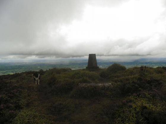
O’Loughlins Castle, the OS map notes that there is a cairn up here.
Image credit: Bawn79
O’Loughlins Castle, the OS map notes that there is a cairn up here.
On the OS Map there is a cairn marked between the summits of Greenane and Greenane West. I made the difficult climb up to 800m and 5km from the road using the path that is shown on the OS map that stops short of the summit.
When I got up there I couldnt find anything that resembled a cairn the only thing up there is “O’Loughlins Castle” which I’ve added a photo of. I’ve been meaning to check out the old OS notes for South Tipp in the Local Studies area of Thurles library.
I’ll see if this cairn has been destroyed or what it referred to.