back of mound, lower entrance and door into miniature chamber


my edge on view coming up the beach from the south


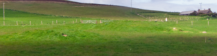
I came at it from the south after climbing down near an old ruin but the lady occupying the nearby house pointed out that it would be safer to come along the farm road from the main road and use the modern slipway. The mound above the cliff is all tussocks of grass, folk have gone on it but I know how treachorous this vegetation can be and I was alone. The place didn’t photograph well in the light present
NMRS record no. HY20SW 7 is 4m high 25m E/W along the coastline by 18m N/S, representing one half of the original broch as shown from the air. A well-built wall survives on the east side and further traces can be found in the SW slopes. The north side has a large hollow now used to dump rubbish. Men extracting stone for building ceased on discovering bones – in 1979 more were found in the dense tumble of the NW fringe after storm damage. And Cursiter around 1887 found cists inserted into the top of the mound itself.

the track where it levels off has a very steep drop to the left, cairn sits on a scarcement


looking back from passage to the modern entrance


west end cell contained most of the skeletal material

view from end cell past stalls to modern entrance
An oval or sub-oval mound covered a stalled tomb entered from the south-eastern end. It resembled Midhowe except that the cairn sat on a substantial ‘scarcement’ surmounted by a foot high course of flags set at an angle thrn finally a horizontal course. It was the first such feature discovered in Orkney


looking diagonally into E side with curve presumably outside of brock


top 2 mounds looking across to Durkadale


uppermost mound from downhill wirh ?kerbstones in situ