
wideford


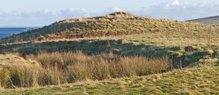


broch levels from the north, ditch hidden across centre of image
Image credit: wideford


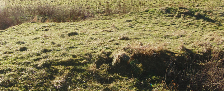
outer broch northern profile between broch tower wall and ditch
Image credit: wideford

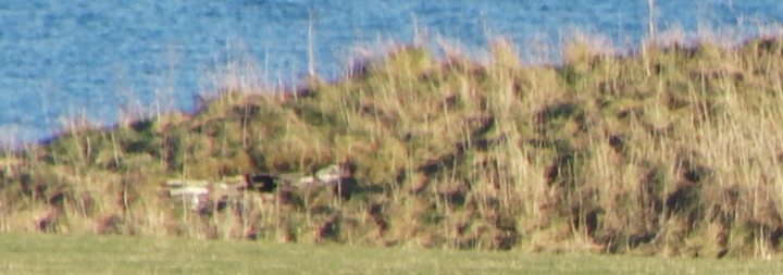
Knowe of Midgarth & mound seen from near Midland
Image credit: wideford

Knowe of Midgarth from A966 above with mound behind RH side
Image credit: wideford

cairn looking north-east
Image credit: wideford

N end walling of knowe
Image credit: wideford
N end walling with entrance into knowe visible
Image credit: wideford

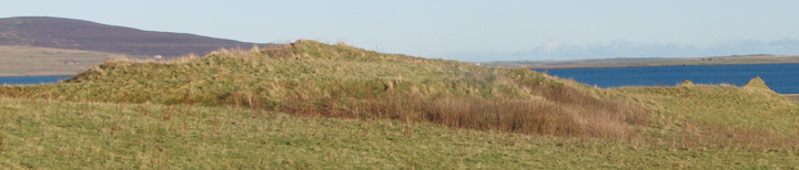
Midland tumulus looking north-east
Image credit: wideford

Midland tumulus from shore to the west
Image credit: wideford


eastern side with Breckness Bishop’s Palace (etc) behind
Image credit: wideford

stones between pair – bottom is small block against northern stone, top centre projecting stone corner [orthostat or ?block] with very top of thin orthostat to its left
Image credit: wideford

eastern side looking N
Image credit: wideford

eastern side from adjoing field looking NW
Image credit: wideford

easterrn side from due W at corner of adjoining field
Image credit: wideford

eastern side from the west i.e. NW corner of adjoining field (too wet to attempt going under fence !)
Image credit: wideford

some of stones left on top of eastern side, largest 2-3’ high probably
Image credit: wideford


Harray Loch side taken as widescreen with spotmeter
Image credit: wideford

Stenness Loch side taken as widescreen with spotmeter
Image credit: wideford