
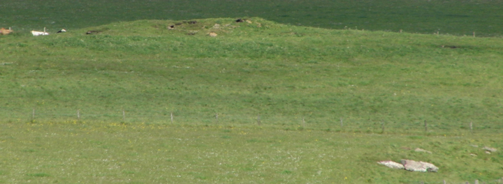
tower mound and ? outer wall mound
Image credit: wideford
tower mound and ? outer wall mound

tower mound on north side of kirk


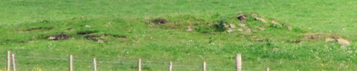
tower mound outer turned to cemetery, with stones from previous use at edge and base

from east kirkyard wall over to near edge of main mound

looking along east wall with profile of tower mound periphery

top of tower mound running under east wall

broch mound from burn to the east


main mound area from furthest visible from Ness of Campston road


south side from road opposite

zooming in on stones

‘ditch’ profile with stones

view looking from SW fieldgate

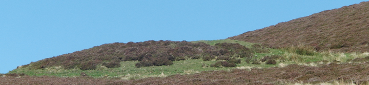
abandoned house, WWII radar station, Knowe of Crustan

house a few paces W of Knowe of Crustan, both visible

part of WWII complex backs into another mound


closeup 1 upper cliff section


S side of the Point itself

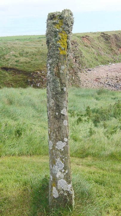
Marwick’s structure I presume

