Hob

Hob

All posts expand_more 1,101-1,150 of 1,578 posts

Miscellaneous

Devil’s Lapful
Long Barrow

Info courtesy of English Heritage, via magicmap:

“The remains of a long cairn of Neolithic date situated on the south west slope of Castle Hill commanding extensive views southwards.
The long cairn, orientated NNE to SSW, measures a maximum of 60m long and 14m wide and stands to a maximum height of 2m. It has been constructed of rounded boulders and some stone slabs with smaller stones around the edge.”

Miscellaneous

Burgh Hill
Stone Circle

8digit grid ref: NT 4701 0624
Info courtesy of RCAHMS
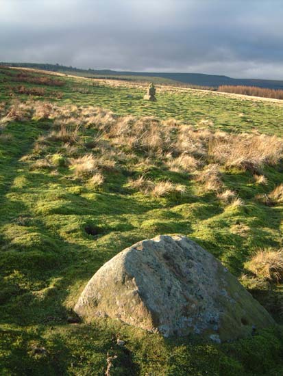
“This stone circle is situated on a natural shelf at a height of 950 ft, near the summit of Burgh Hill. Sub-oval on plan, it measures 54 ft from NE to SW by 44 ft transversely and comprises twenty-five stones, thirteen of which are erect while the remainder are recumbent. They are all comparatively small slabs (ranging in height from a few inches to 2 ft 8 ins) and most of them have a broad face aligned on the perimeter of the setting.”

“Only one of the recumbent stones, on the SW side, is appreciably larger in size, measuring 5 ft in length by 2 ft 3 ins in width. It is recorded that the circle “has been well explored, but yielded nothing of a sepulchral nature.”

“An egg-shaped ring of many stones. It has been ruined but alone among its little stones a 1.5m pillar remains, fallen, at the SW (238) opposite a 1.1m long, low, thin slab in appearance like a Cork recumbent stone. This ‘recumbent’ and the prostrate pillar are on the main axis of the site.”

Miscellaneous

Seven Brethren
Stone Circle

Canmore says:

“Measures 20.1 by 18.9m Seven of a probable 12 original stones set in a circle 60 ft. in diameter remain. Four are still (1963) in situ, none protruding more than 2 ft above ground”

It’s still marked on the map, so presumably it’s still there.

Image of Football Cairn (Round Cairn) by Hob

Football Cairn

Round Cairn

Barely discernable cup and ring motif. It’s not quite so faded in the real, but it’s nowhere as clear as the illustration in Bckensall’s book. That Lichen don’t half grow back fast.

Image credit: IH

How Tallon

This circle seems to be slowly sinking into the ground. From what Fitz explained to me of the local geology, there’s a strata of limestone that’s eroded where a stream cut through it. The immediate area collapsed, forming Osmond’s Gill.

It could be that this is (at least partly) why the circle is here, and why it’s sinking. An underground stream gurgling away makes this a special spot, and the circle is at the head of the Gill, commanding a view down to the Gill and around to the moor, lovely and desolate it is too.

Maybe the water collecting in the inevitable sheep ditch around each stone has hastened erosion, hence the packing stones that are so very evident. I just can’t shake the idea of a time-lapse vision of these stones slowly returning to the earth. The hole under the musical stone Fitz mentions looked like it goes waaaaay deep. It’s a good place is Barningham moor.

Image of How Tallon (Stone Circle) by Hob

How Tallon

Stone Circle

Bearing in mind that one of the stones has seemingly already worked it’s way to the underground holes in the limestone, the copius quantity of packing stones seems a good idea.
Presumably the water pools that collect at the base of the stones must accelerate the dissolution of the limestone.

Image credit: IH
Image of How Tallon (Stone Circle) by Hob

How Tallon

Stone Circle

If you let your imagination wander slightly, you coud imagine there were once cup marks on the top of this stone (there’s a lot of them about in the vicinity). But then mebbe not.

Image credit: IH
Image of Barningham Moor (Cup and Ring Marks / Rock Art) by Hob

Barningham Moor

Cup and Ring Marks / Rock Art

Couldn’t work out which stone this is, I’m sure it’s in the book, but there’s just so many of the things. The cups are along the ridge of the stone.

The cairn marker-thingy Fitzcoraldo mentions can be seen in the background. Look for this and you’re on the right contour.

Image credit: IH

Miscellaneous

The Poind And His Man
Standing Stone / Menhir

Examination of the records shows some confusion regarding the Poind. Some seem to refer to it as the mound, others seem to use the term in ref to the surviving stone.

It’s reasonably clear that at some point there were at least two stones here, one of which appears to have been taken to the grounds of nearby Wallington Hall. Speculators have even suggested that there was once a circle at Shaftoe crags, and that the Stone here, the one at Wallington, the Middleton stone and another as yet re-discovered stone near Salter’s nick, may have all been taken from this postulated circle.

The cup-marked outcrop is marked as ‘Hunter’s stone’ on the 1866 map.