Images

Image of How Tallon (Stone Circle) by Hob

Bearing in mind that one of the stones has seemingly already worked it’s way to the underground holes in the limestone, the copius quantity of packing stones seems a good idea.
Presumably the water pools that collect at the base of the stones must accelerate the dissolution of the limestone.

Image credit: IH
Image of How Tallon (Stone Circle) by Hob

If you let your imagination wander slightly, you coud imagine there were once cup marks on the top of this stone (there’s a lot of them about in the vicinity). But then mebbe not.

Image credit: IH
Image of How Tallon (Stone Circle) by Hob

Looking south to the lovely desolate moor.

Image credit: IH
Image of How Tallon (Stone Circle) by Hob

Slowly sinking down into the hidden stream under the Gill...

Image credit: IH

Articles

How Tallon

This circle seems to be slowly sinking into the ground. From what Fitz explained to me of the local geology, there’s a strata of limestone that’s eroded where a stream cut through it. The immediate area collapsed, forming Osmond’s Gill.

It could be that this is (at least partly) why the circle is here, and why it’s sinking. An underground stream gurgling away makes this a special spot, and the circle is at the head of the Gill, commanding a view down to the Gill and around to the moor, lovely and desolate it is too.

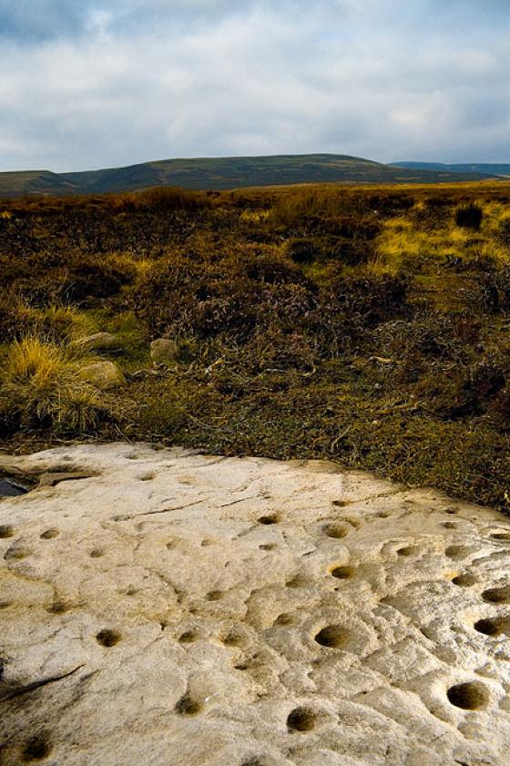
Maybe the water collecting in the inevitable sheep ditch around each stone has hastened erosion, hence the packing stones that are so very evident. I just can’t shake the idea of a time-lapse vision of these stones slowly returning to the earth. The hole under the musical stone Fitz mentions looked like it goes waaaaay deep. It’s a good place is Barningham moor.

How Tallon

My GPS says NZ056407969 but if you looking for this circle you shouldn’t need a gps and it lays beside a well-worn footpath and at the head of Osmonds Gill (marked Osmiril Gill on the OS maps).
When you arrive at the circle, park your arse down and look north, then you’ll understand why it’s there. First thing you’ll see is the mysterious deep dry valley of Osmonds Gill and beyond that stretching across the northern horizon, County Durham. The view is breathtaking.
The circle is approximately 12m in diameter and is composed of 7 sandstone blocks all of which look like they’ve been toppled. The two largest stones are in the north & south. There is a possible outlying stone to the west. The area has suffered from a degree of subsidence leaving the circle on uneven ground. One of the stones has another stone alongside of it covering a deep hole, if you tap this stone it gives a satisfying ring like some deep megalithic bass drum. Some of the stones are cupmarked although there are also ‘erosion cups’. One of the stones has a faintly carved cross upon it. Christianise this place – fat chance.

How Tallon

A fairly unremarkable low round barrow bisected by a dry stone wall and topped with a OS trig point.
I can’t describe the setting because visibilty was down to 15m. All I know is the moor is very boggy and the rain is very wet.

Amended 11/06/02
The above report is of the How Tallon mound only.
There is a stone circle at How Tallon It is just south of Osmonds Gill. When I visited it was so foggy that I nearly fell over the gill and abandoned the whole thing. There is also a major rock art site centred on this area.

Sites within 20km of How Tallon