The view south from the beach below the fort to Killantringan Bay and its dun.

The start of the level terrace at the fort’s entrance that follows the southern contour round to the seaward side.

The original way up to the entrance to the fort on the inland side.

The track back from the fort to where is currently the furthest point where ‘normal’ vehicles may be driven and turned round, by the derelict croft. The Supermoon rises.


The view south along the coast from Fort Point, fort bottom right. Kemp’s Wark promontory fort at Broadsea Bay is below and to the left of the high point on the horizon, and, beyond, Killantringan Bay’s dun is on a promontory below and to the right. Three fine beaches even if no sites.


A view down the coast to the bay from Float Bay, taken from below Kemp’s Wark promontory fort. The dun’s promontory is to the right and below the distant high point towards the left of the image.


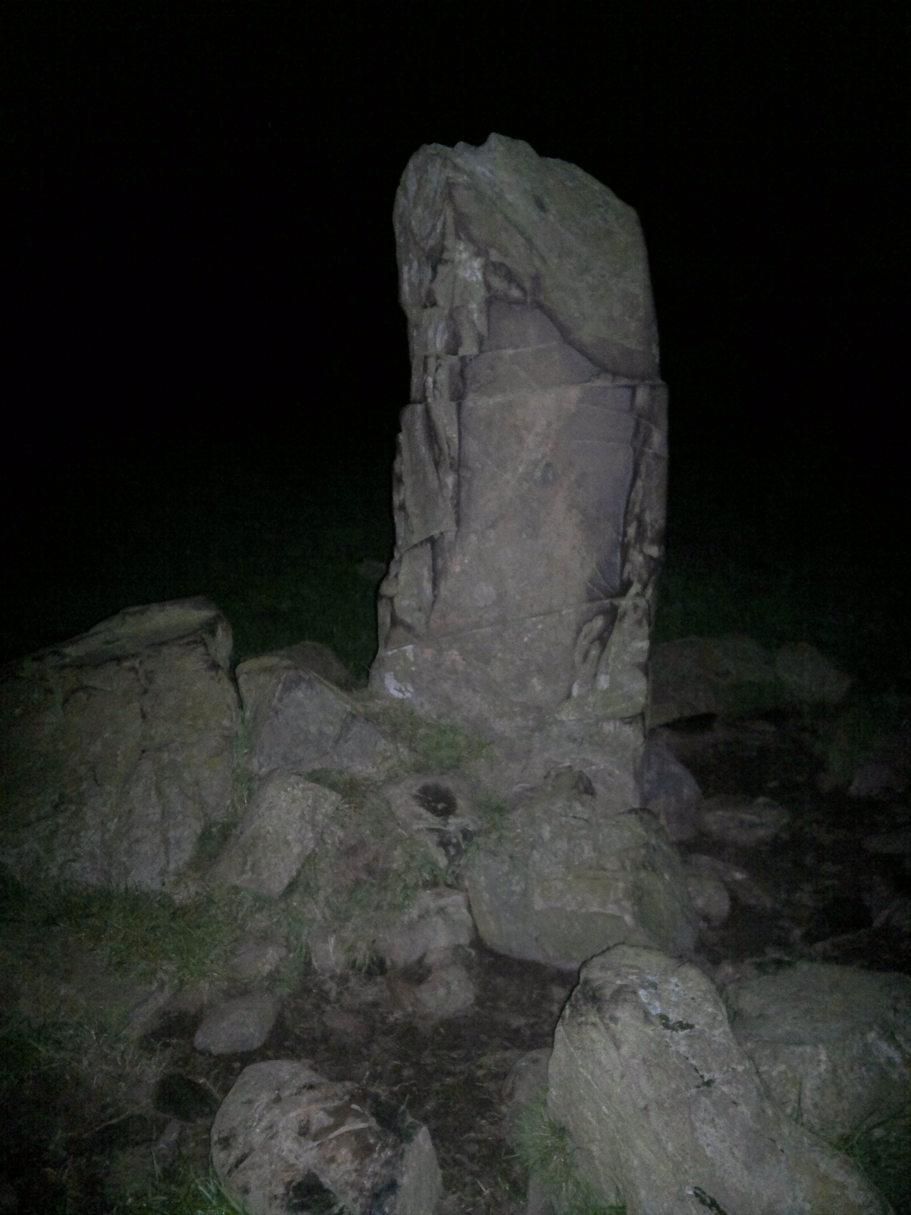
The only officially recorded extant stonework is to be found when climbing the area in the top middle of the image.

Looking down from the fort to the sheltered landing on the western side. Recent era rubble dumping on right, but possible contemporary stonework bottom left, unnoticed at the time of visit.

The sheltered inlet below the promontory fort’s western side, the probable reason for it’s existence.

The natural coastal defences below the dun looking north up the coast.

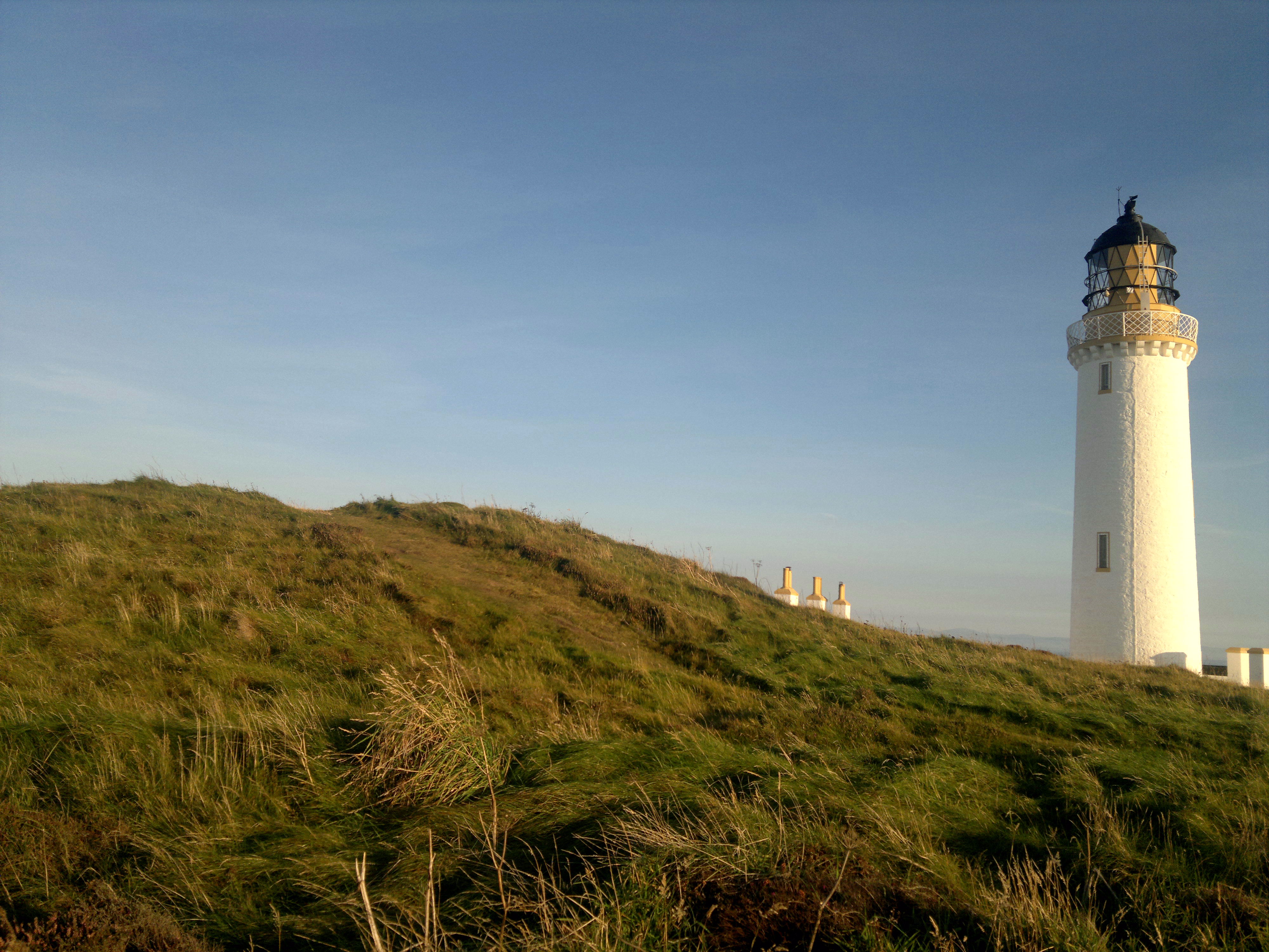
Galloway dyke in foreground, descending to cliff edge, L. Top of earthwork perhaps earlier than dun and contemporary to Slockmill enclosure visible at base of pole R of lighthouse.


The promontory top, looking west. Most of the fort’s interior today is bare rock. No defences, possible cairn. Still a nicr place to visit on a sunny day, though.