
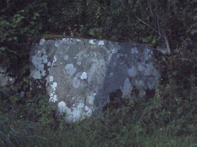
Solitary giant atop Brodick at Moyish.
16 October 2010
Image credit: Howburn Digger
Solitary giant atop Brodick at Moyish.
16 October 2010

Bin Day in Brodick. I have seen this stone flanked by half a dozen wheelies (regular household, recycling and composting).
14 October 2010

Also in Sannox lies this unrecorded/ unlisted boulder with three cups. I asked the owner of the property if she was aware she had a cup marked stone in her wall. She replied that the stones had been dragged in from surrounding fields and she had no idea which field or where it had come from!
Don’t ya just love this place?
15 October 2010

Between The Mid Sannox Stone (in the field behind the Golf Club) and the Dundarroch Cottage stone, lies this toppled ten foot by four foot stone. Its just off the road in the trees and is kinda sloping upwards at 45 degrees...
15 October 2010

Standing proudly in the autumnal splendour of Dundarragh Cottage’s garden. I don’t know where else to post this picture but it is one of a number of stones in Sannox (either by the roadside or in people’s gardens). Sannox is a wee place so maybe they could all be gathered together under “Sannox”.
15 October 2010

The King’s Cross Point monolith poking out of its cairn on the far side of the King’s Cross Fort. Holy Island in the background.
12 October 2010

The poor old monolith is sheathed in a pointless concrete and rubble cairn with only a couple of feet of its original length being visible. It sits right at King’s Cross Point between Lamlash and Whiting Bay.
Nearly nine year old added for scale.
12 October 2010

Cornflake yellow emulsion paint daubed onto an ancient carved cross where the main King’s Cave bifurcates. The cross is carved near the human figure with its arms raised up.


Kings Cave rock carving. Ogham writing with curly snakes to the right.

Another of the magnificent King’s Caves.
11 October 2010

King’s Cave (or more properly The King’s Caves) is not one cave but a series of about twenty caves and natural arches along a short stretch of Arran’s West Coast.

This service tunnel leads to the King’s Cave when you approach from the South.
11 October 2010

A curious carving of a figure with their hands above their head.
11 October 2010

The gated front of the King’s Cave. It isn’t locked now, but it used to be!
11 October 2010
Merlin’s mighty roadside Altarstone now assimilated into the roadside wall on the Dreva Road.


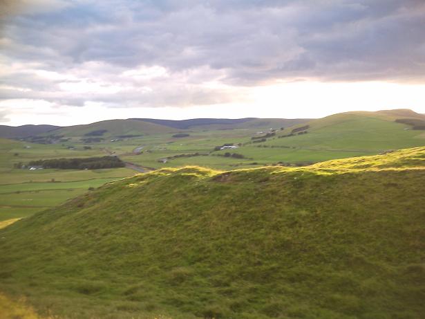
Tinnis Castle hill is the rounded green one. The bumpy one to its right is Henry’s Brae.


Looking West as the sun sets behind Ratchill Hill and Trehanna Hill.

The wedge shaped top. The green hill to the left of the white pole is the site of Tinnis Castle, a set of medieval tower stumps in the middle of an older hillfort.
The bumpy green hill to the right of the white pole is Henry’s Brae hillfort.

Looking North West to the wide top of Hammer Head.

Looking North East with a Biggar & Broughton (Culter Fell & Dollar Law) Explorer OS Map (Sheet No 336) for scale.


The Port Ellen Stone as darkness fell and the pubs, the pubs were calling.
Western Isles Tour July/August 2010

Bootweary foot trying the thirty year old plaster cast on for size.
Got a nice picture of the carved boar as well, but posting it seems pointless, like posting a photo of a drawing from a Ladybird book.
Argyll trip August 2010

Moderately oversized Kintraw next to regular sized human male for scale. Argyll August 2010.

Another of the small circular drystone buildings in the inner rampart.

Looking North towards Devonshaw Hillfort (on the lower end of the ridge of the hill running down to the left in centre of picture) with Tinto Hill behind.

Looking North West through a gateway towards Cold Chapel Farm and across the Clyde to Abington Services and the M74.

One of the dozen or so circular dry stone buildings and features built within the later, innermost stone rampart. These range from six feet across “cells” to a twenty foot long building with a rounded end. There are similar features just a few feet across.

Five odd looking cairns preside over the middle rampart looking West. There are two smaller ruined ones.
I figured these were relatively modern additions but the stones at their bases are fast in the peat.

Looking North East from the inner stone rampart across the ditches and scarped banks of the outer defences.

Looking South from the inner stone rampart, across another rampart and through one of the gateways. Like Devonshaw Hillfort a couple of miles away, the Southern entrance has a titulus-like ramparty-type structure outside it which blocks direct access.
The fort looks down onto another massive engineering work, the roman road from Crawford Fort as it circumnavigates Raggengill Hill on its route North.

The boulders with the Clyde below and the village of Roberton beyond.

The boulders which mark the end of the outer s/west rampart.

Looking down from the steep inner rampart to the big stones on the end spur of the south western outer rampart.
Looking west with the setting sun behind the eastern rampart.

The northern entrance gateway looking down into the green Upper Clydesdale valley with the might of Tinto rising behind.

From the steep south western inner rampart looking down onto the outer rampart.

The southern entrance to the hillfort. There is a small bank outside the gateway blocking direct access rather like a roman titulus.


“New” rock art at Stronach Wood. Carved birds. Heron, Raven and under the Raven’s head is another bird with a curving beak – mibbe a Curlew type thing?.

A “new” rock art discovery at Stronach Wood.

The Heron. Even the head crest feather is there!


On the various bin collection days (Tuesdays for recycling, Wednesdays for household rubbish etc) this lovely stone is flanked by an awsome collection of grey, fawn and bright blue wheelie bins.

