
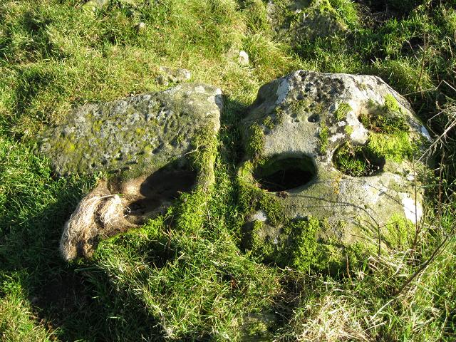
What appears to be a curving line of very deep cups, a row of very small and some pecking.

The three slabs on the hillside a few hundred yards from the Crookedstone.


It really does point upwards at forty five degrees. The profile of the top of the stone appears to mirror the fold in the hills to the North East on the other side of the M74.


The big natural cups can be seen quite a distance away.

Taken from the bottom of the 25 foot raised beach. Sea worn pebbles, chuckies and rock outcrops litter the field’s lower slope.

The stone stands on a terrace in a field above the 25 foot raised beach.

Watch out for things like this on the slopes of Muileann Gaoithe above the Stronach Wood.
October 14 2010

The panel is orientated towards the North Arran Peaks, the two triangular shapes on the upper right appear to mirror the pyramidical peaks of Cir Mhor and Goatfell while the upper left of the photo appears to mirror the profile of Beinn Tarsuinn with the smaller triangular peak of Cnoc Breac in front of it.
Below perch the delightful Heron and the bodacious Raven. The dying back of the foliage has revealed an antlered stag (bottom left).


Island of Arran from the summit of Brown Carrick, Ayrshire. October 24 2010.


Just beyond the bracken behind the stones is the Brodick to Lamlash Road.


The outlier and three survivors struggling through the heather and bracken.


One of the huge stones in the field above the Lightshaw stone.


The stone stands happily in its little patch of grass and trees. 24 October 2010

Curving rows of stones standing in the grass to the West of the cairn.

A collapsed chamber in the centre of the cairn.

The corbelled ceiling in one of the chambers.

Another capstone allowing a peek into its chamber.

The relatively intact northern end looking over to Holy Island. Two open chambers bottom centre and bottom right.

A pandemonium of upright stones and collapsed chambers.


The only colour photo I got before things went monochrome. The tumbled Torr an Loisgte looking towards Holy Isle. 13 October 2010.

Auchagallon Cairn looking South towards Machrie. The King’s Caves are around the furthest headland. Note the ancient tidal fish trap off of Machrie Point at centre right.
The golf course clubhouse (its toilets and tea room are very handy) is in the centre of the picture (cars parked outside) and Machrie Water Foot Standing Stone is in the field behind the white walled house in the mid left of the picture. October 2010.

Found and photographed on the 14 Oct 2010 an eight foot slab 80yards uphill towards the ridge from the main carvings. It is in dense forestry and has a lot of earth, peat and a tree growing on it. It projects out into the drainage ditch between the rows of plantation trees. It took me an afternoon of pacing and searching in the fairly impenetrable forestry plantation, but this slab is where the missing slab was said to be. I didn’t have a spade or axe.
From Canmore
“Somerville notes an 8ft long piece of rock projecting from the turf, some 80 yds from NS03NW 7, nearer the summit of the ridge. It is sculptured with five cups with channels radiating from them, and the remains of circles. It was not found in 1965, possibly buried by bulldozers in conifer drainage.
J E Somerville 1901; R W B Morris and D C Bailey 1967.
This alleged cup and ring marked rock could not be located in dense afforestation.
Visited by OS (T R G) 31 October 1977.”

Looking East towards the Mainland on a misty October morning 2010.

The pointy tip of one of the upright facade stones of the North Cairn looking North to Goatfell.

The lonely, leaning Stone C.
12 October 2010.

Stone A looking to Stone B and over the hedge beyond the road lies lonely Stone C.
12 October 2010.

The mighty twelve footer Stone A. 12 October 2010.

Stone B (foreground) with Stone A behind. 12 October 2010.


A wee diagram from “Paint” my favourite programme.

Solitary giant atop Brodick at Moyish.
16 October 2010

Solitary giant atop Brodick at Moyish.
16 October 2010

Solitary giant atop Brodick at Moyish.
16 October 2010