
What I took to be the original entrance (?) to approx south; the great cross-bank curves away to the left.
Image credit: Robert Gladstone

What I took to be the original entrance (?) to approx south; the great cross-bank curves away to the left.

The defences are pretty overgrown, but for me, that merely adds to the vibe here.

The cross-bank from the ditch, again looking approx north.


Arriving steeply uphill from the approx north-east...
Set above the looping Wye, this is but one of a number of far less obvious precursors to the magnificent Chepstow Castle...
Subsumed within trees at the northern apex of Black Cliff, overlooking the sinuous River Wye (Afon Gwy) to the approx north of Chepstow – not that I could see the river, but there you are – this is a fine example of an inland ‘promontory fort’, rendered all the more special by being ‘hidden in plain sight’... always the most effective camouflage, I find.
Such is the (sublime) topography here that the original inhabitants were able to concentrate the vast majority of their effort upon erecting a substantial ‘cross bank’ isolating the neck of the promontory to the southwest. Little more, save (apparently) some scarping of the natural slopes, was required elsewhere to create a first-class fortified enclosure. And to recall those Victorian mugs once tried to con society into believing our ancestors were ‘rude savages’ dragged kicking and screaming to civilisation by them damn Romans. Yeah, right. Not buying that.
I approached starting from an unclassified public track (those green dots upon the OS 1:25K map) veering off from the Penterry Farm access road, crossing open fields to ascend from the north-east. It was well worth the effort. Yeah, Chepstow may be justly famous for William FitzOsbern’s magnificent Norman castle – or the Racecourse, should one happen to be a mug punter with a thing for the gee-gees – but clearly, there is much more of interest for the more discerning Citizens Cairn in the immediate locale... most obviously at Gaer Hill, just a mile to the southwest.
Located toward the south-west of Graig Fawr – an elongated, grassy ridge rising to the approx north-east of Pontardulais – I found this Neolithic Chambered Tomb to be much more substantial than anticipated. Yeah, as South Walian prehistoric monuments go, this one retains a significant volume of ‘chamber’... with two groups of orthostats (uprights) still visible within the low residue of cairn material.
Sadly, it would appear local morons think the site fair game for the dumping of broken glass, not an uncommon occurrence in South Wales in my experience. I hereby call upon the decent citizens of Y Bont to sort out this cancer within their midst. Let’s not be judged by the very dregs of our society, eh?
Nevertheless, such was the vibe here – within the swirling hill fog and precipitation – that even such mindless, pointless desecration did not detract too much from the visit. Indeed, by extending the walk to the summit of Graig Fawr the more perceptive, curious traveller will discern the remains of an Iron Age enclosure... a hillfort, no less. There are other prehistoric cairns and such to search out, too. Happy days.
Funny what turns up within South Walian clouds every now and again... if you’re lucky.
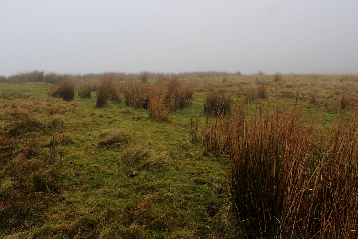
One gets the feeling this hilltop gets very busy upon fine summer days. Nah, winter’s better, methinks.


The inclement weather prevented any distant views; however, the swirling mist did lend a somewhat claustrophobic, suitably intense vibe to the visit.


Although by no means substantial... the surviving bank of the summit enclosure of Graig Fawr is at least traceable for its circumference.


The ‘upper’ chamber... to the approx North-east

The main, lower chamber – there appeared to be two – was littered with broken glass. Sadly, I can’t say it beggars belief; rather, it is par for the course here in South Wales. A damning indictment... if anyone has the intelligence to give a damn.

Appalling weather – contrary to the promising mountain forecast – was nonetheless more than compensated for by the unexpectedly substantial remains to be found here.

Although my suspicions were aroused following the subsequent identification of what I’d taken to be unrecorded ‘round barrows’ upon Egsair Rhiwlan (immediately to the SE) as the impact residue of shells from a former WW1 artillery range... it would appear the monument to be found here is indeed the real deal. Sweet.
Coflein has this to say:
“A circular, grassy mound, 7m in diameter and 0.6m high. It has a thin peat cover but slight erosion shows that the main body of the mound is composed of earth and stone. It is located on a flat, broad hill summit, overlooking the Elan valley. When visited in June 2009 the area was used for rough grazing and vegetation cover was grass. [J.J. Hall, Trysor, 9/9/2009]”
If obscure hangs away from the tourist bustle of Cwmdeuddwr are your thing, they don’t come much better for such limited effort than this little round barrow.


The byway ‘Monks’ Trod’ can be seen beyond – as at 23/7/2020. Such is the farcical degree of erosion it’s impossible to miss...

A bit of an enigma, this: old maps clearly show some ‘structure’ – presumably a cairn – standing beside the old Monks’ Trod, a byway linking the heart of Elenydd with Ffair-Rhos and Strata Florida to the west. However..... deciding to go and have a look upon a very inclement 23/7/2020 I found... well, very little, to be fair. The barest hint of a stone pile amongst the carnage caused by lazy muppets in their shiny new 4x4s engaged in ‘1mph off-road experiences’. Such thrills! Yeah, whatever.
Nevertheless, well worth the walk from Pont ar Elan across the summit plateau of Esgair Rhiwlan – or, if you prefer, follow the lower level green track. Incidentally, the ‘mounds’ I discovered upon Esgair Rhiwlan are apparently shell impact residue from a WW1 artillery range once located here! Just so you know.
Coflein has this to say:
“Carn Ricet is a possible prehistoric cairn that is now denuded, turf-covered, and hard to define. It is disturbed by a trackway... and the small amount of stone visible on the surface would appear to be the remains of a more recent cairn marking the boundary of a sheepwalk and possibly the line of a drovers’ road. [J.J. Hall, Trysor, 18/1/2010]”
Now I must, first off, confess as to having been certain I’d been here – to this VERY substantial upland Bronze Age cairn – before... venturing south from Trembyd in thick hill fog some years earlier. Haha, yeah. Needless to say, the unexpected sight of a truly massive cairn upon the northern horizon as I head for Garth this time around – where I reckoned no cairn should be – was sufficient cause for re-appraisal. Conclusion: map reading muppetry resulting in a vapour-shrouded audience with Carn-y-Geifr (not Carn Wen) back in the day. Ahem.
To be fair Carn Wen is unmistakable... once one knows what it looks like, that is. A Bronze Age behemoth some 78ft in diameter, albeit a little defaced by a couple of small modern ‘marker’ cairns and a curious ‘shelter’, set upon a high plateau of billowing grass. As is the case with most of Wales’ other ‘White Cairns’ I have had the pleasure of visiting, this example is distinctly more of a ‘battleship grey’ hue. But none the worse for that, it has to be said.
All is quiet, save the equestrian – and rather striking – farmer’s wife met earlier in the day thundering past upon her mount. A good place to be and take in the vast skies for a while. Best not attempt it in mist though... just saying. Unless you can actually read a compass.
Coflein records:
“A cairn, 23.8m in diameter and 0.8m high, having three projecting stone platforms about its E perimeter. Two small recent cairns and a double shelter have taken their place upon the cairn.” [J.Wiles 23.04.02]
The Cwmdeuddwr Hills of Y Elenydd, extending westwards from the bustling Welsh market town of Rhayader, are probably best known for harbouring the great Elan Valley reservoirs. Few, save the occasional isolated farmer, live here nowadays. However, those intrepid souls who choose to don the boots and head into that forbiddingly wet landscape on foot will discover abundant traces of those who came before: the pioneering prehistoric farmers who first set down permanent roots in the wake of the Mesolithic hunter-gatherer wanderers. Perhaps the most tangible of these reminders are the great burial cairns they erected upon the hilltops.
One such monument – there are many other examples in the extended locale, including some ‘whoppers’ – can be found at SN98736029 upon Garth, an eastern promontory of Drum Ddu. OK, by all accounts what remains constitutes but the substantial, robbed footprint of what must have been a pretty hefty, large-diameter cairn in its day... however, it is more than enough in the circumstances, given the fabulous location overlooking the River Wye (Afon Gwy) flowing from Pumlumon.
Coflein lists the dimensions as: “..13m by 10.7m and 0.3m high.” [J.Wiles 23.04.02]
Note that Coflein lists another cairn some way to the west at SN9854060330 which didn’t really grab my attention, to be fair. Probably my mistake.
Perhaps one for aficionados only.... if there were not many other substantial cairns in the locale. Bonus site it would be rude not to check out, then?
This small Bronze Age cairn cemetery may well be bypassed – unnoticed – by those (such as they are) heading for the wild delights of Drum Ddu or Garth... and their far more conspicuous prehistoric monuments.... from the south. Yeah, one needed to check the map – and remove a splodge of baked bean (I believe) obscuring the relevant detail – before being sure of the location.
Nonetheless, the three(?) cairns are discernible among the ubiquitous industrial-strength upland grass and, furthermore, the sweeping vista towards South Wales is one to behold before moving on to check out the massive stone piles even I couldn’t miss.
Coflein reckons:
“Two probable and one possible cairn: I – at SN98095991 [is] c.3.7m in diameter and 0.3m high, with a slight central depression; II – at SN98125993, 4.1m in diameter and 0.45m high, with a central depression; III – at SN98135995, c.1.8m in diameter and 0.3m high. It is thought unlikely that these are clearance cairns and the preferred interpretation is that of a cairn cemetery.”
[J.Wiles 24.04.02]
Trychrug – or Trichrug, if you so prefer – is a fairly substantial hill (rising to 1,125ft) between Trefilan and Cross Inn. The B4337 crosses its eastern shoulder, actually a Drover’s Road in times gone by... which, given the (alleged) propensity of those chaperoning animals to market to the odd shandy or two, might help explain sightings of fairies ‘round about across the years?
Having said that, the hill does have form – and not just in a topographical sense – since it seems quite plausible to me that the hill’s nomenclature is a reference to the massive Bronze Age round barrows which still crown the summit plateau. Sure, although there is actually a quartet of such monuments to be found here, one example is a relative ‘tiddler’, at least nowadays....
Set upon a north-west/south-east alignment, the northern pair is actually comprised of two very substantial round barrows indeed, albeit seriously overgrown with sundry industrial-strength vegetation. I assume by the OS designation of ‘Tumuli’ these are not heavily ‘grassed-over’ cairns? Whatever, the vibe is excellent for it would appear even the local dog walkers – who see fit to leave their mess (presumably of their guiltless canine charges) upon the approach track – do not bother to venture here.
Despite having walked the uplands of Wales for over 30 years now, one is nevertheless often gob-smacked at the scale of the prehistoric monuments which still remain ‘up here’. Nowhere is this happy state of affairs more evident, perhaps, than upon the south-eastern tops of The Cwmdeuddwr Hills between the tourist hubs of Rhayader and Builth Wells.
Here, a glance at the 1:25k OS map will reveal numerous ‘Cairns’ annotated in ‘Antiquarian Typeface’; however, what is not disclosed by those wondrous cartographers is the relative size of these monuments. OK, an indication of potential substantiality might be determined by whether local folk saw fit to assign a cairn an individual moniker... there are two examples nearby: Carn Wen (White Cairn) and, crowning Drum Ddu, Carn-y-Geifr (Cairn of the Goats). The massive monument upon Llethr Waun-lwyd, however, takes the weary traveller completely by surprise.
It would appear there is some debate between professional archaeologists as to whether the cairn represents the huge, low ‘footprint of a heavily robbed round cairn... or perhaps a well preserved ‘platform’ cairn? I appreciate the dilemma. I approached from the ‘dead end’ road beyond Nantgwyn to the south. However, that would be just one of many options, depending upon the proposed itinerary.
Coflein says:
“A cairn, 13.1m in diameter and 0.5m high, set on an upland shelf open to the S and W, which possibly represents the base of a ruined cairn, or else is a platform cairn.” [J.Wiles 23.04.02]
Set in a forestry clearing at the head of Cwm Twrch, a few miles above and to the approx south-east of the idyllic village of Llanddewi Brefi, this Bronze Age cairn is very much of the ‘if you didn’t know it was here’ variety, despite being hidden in plain sight immediately beside the sole road traversing the valley.
The monument was more-or-less engulfed with springy heather at the time of my September visit, with just a small section of exposed cairn material – topped by a fading, hand-painted sign confirming its prehistoric ancestry – visible amongst the otherwise all-prevailing green.
Those who, the alien presence of conifers upon our uplands notwithstanding, discern a special vibe within the bosom of massed trees will find a brief (or extended, as you wish) interlude here worthwhile. The violent, wind-induced motion of the foliage was, indeed, something to experience... at odds, yet somehow complimentary to the relaxed lunchtime vibe following a full-on morning upon Pen y Corn to the immediate east.
Coflein has this to say:
“A disturbed round cairn, 8.5m in diameter & 0.4m high, set on generally level ground.” [J.Wiles 23.07.04]
Rarely have I experienced such a prehistoric upland vibe with so little height gain...
This, another of Wales’ numerous ‘White Cairns’, may well initially confuse the uninitiated ... since its hue is very much at the, er, ‘greener’ end of the spectrum nowadays. Hey, it rains a lot upon The Cambrian Mountains... grass likes it here. Likewise, if the truth be told.
A not insignificant trek starting from the farm of Blaneau (take the road north from the idyllic hamlet of Cwrt-y-Cadno prior to climbing steeply first left) will grant the curious visitor an audience with the grassed-over remains of what once must have been a pretty substantial monument in its time, now supporting an OS trig pillar. The expansive vistas to be had are worth the effort themselves. Although don’t forget the waterproofs, the inclement Mid Walian weather seeing fit to give me a veritable pasting for my trouble.
Coflein has this to say about yet another obscure gem:
“A cairn, 18m diameter and 1.0m high, mutilated about its center and having an Ordnance Survey triangulation pillar... set upon its eastward rim.” [J.J. Hall, Trysor, 28 March 2012]
The wild Cambrian Mountain uplands between Llandovery and Tregaron may appear windswept and deserted nowadays, the occasional hamlet or farmstead notwithstanding. However prospective visitors donning boots and venturing forth upon overgrown – or simply non-existent – paths will encounter tangible reminders of significant occupation back in the day: the great burial cairns of Bronze Age VIPs foremost. So, times may have changed... but fair to say it can still be a tad windy.
Pen y Corn, the southwestern spur of Bryn Brawd, possesses a pair of such monuments overlooking Cwm Twrch. OK, not as obvious as the massive example visible upon Craig Twrch, perhaps... but nonetheless a great place to sit, chill and watch the soaring Red Kites for a while.
Coflein gives a little sparse detail, thus:
SN6946051520 – “A Bronze Age cairn on a ridge... The cairn measures 12 metres in diameter and up to 0.75 metres high.”
SN6934251349 (to the southwest) – “A Bronze Age cairn, on a local summit, measuring 9 metres in diameter and up to 0.55 metres high.”
[R.P. Sambrook, Trysor, 22 March 2012]
But one of a significant series of Mid Walian high hilltops crowned by equally significant Bronze Age cairns, there is no simple way of getting here. But then, perhaps that’s a good thing, right?