The only true ‘standing stone’ in the ring.... but it’s a good one.


One may just make out my trekking poles marking the surviving arc beyond?
At almost 50ft in diameter, this summit cairn is well worth a shufti when checking out the nearby Cerrig Cewri....
Coflein reckons the monument is:
“An apparently undisturbed cairn, 15m in diameter and 1.6m high, having an Os triangulation pillar set upon its summit. A standing stone, Carreg craig-y-moch, 2m by 0.6m by 0.5m, once stood c.550m SSW of the cairn, reported as erect in 1967, it was prostrate by 1968 and had been removed in afforestation by 1976. [J.Wiles 04.04.02]”
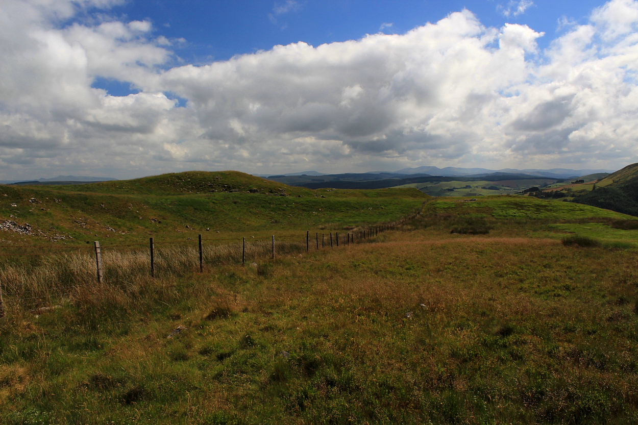
A pair of cairns located someway below – and to the south – of the 1,463ft summit of Garn Dwad... the southern of which is actually pretty substantial, bearing the clear remains of a cist. To be fair, the northern monument is quite upstanding, too, albeit with a grassy mantle rendering it far less conspicuous in the landscape; so much so, that I actually walked straight by upon arrival. As you do.
The location is excellent, with a sublime panorama of the South Walian uplands given great support by that of the Irfon nearer to hand. With a vibe to match. The easiest approach is probably that which I took, via the bridleway starting from the access track to Pen-y-Banc farm, looping around from the north.
Coflein reckons:
“The two cairns set below the summit of Carn Dwad are I – measuring 6.0m in diameter and 0.4m high; II – oval, measuring 11m by 9.0m and 0.5m high. Both cairns bear the signs of central mutilation and exhibit what may be the remains of cists.... [J.Wiles 04.04.02]”
The remains of this cairn, set upon the, it has to be said, somewhat inhospitable eastern slopes of Esgair Elan – itself forming the southern flank of the wondrous upper Cwm Ystwyth – have a good shout for being amongst the most obscure you might wish to find in these Isles. Yeah, having walked the ridge a number of times in the past – not to mention camping below on innumerable occasions – the monument doesn’t exactly advertise its presence, so to speak.
Luckily, the people at Coflein know where it’s at. Quite literally:
“A small stone cairn, thought likely to be a funerary cairn. It measures 2.5 metres north to south, by 2.25 metres wide and is no more than 0.2 metres high. It is partially obscured by grass and moss.” [P.Sambrook, Trysor, 13 September 2011]
Better late than never.


So what do you call a hill topped by a large cairn/barrow? How about Cairn/Barrow? That’ll do.
Just goes to show you never know what’s up there, do you?


Looking approx south toward Y Mynydd Du crowning the skyline...


The south-western end of the ridge: can’t argue with that.

The southwestern bank from without – not particularly powerful, but then, given the topography..

Looking along the spine of this delightful ridge to the south-west... the southern flank is sheer, so no need for any defences there.

Retrospective to the northeast... one can appreciate what certainly appear to be defences within the copious fern (I attempted a definitive look but was driven back by industrial-strength bramble within the greenery).
The transmitter station is offputting, granted. But then the cairns were here first.........
If you happen to be passing… use your loaf: there’s a hill fort up there. No, really.
Not to be confused with the shapely hill overlooking Abergavenny, this ‘Sugar Loaf’ – presumably so named on account of its profile... although exactly what a sugar loaf is I could not tell... can’t be very healthy? – is actually crowned by the remains of an Iron Age hill fort... a fact that 99.9% of visitors to this rather fine ‘picnic spot’ upon the A483 between Llandovery and Llanwrtyd Wells are probably oblivious to.
To be fair, there are mitigating factors, not least that the ancient providence was apparently only ascertained from the air in 2001! OK, the defences are far from obvious on the ground; however, I can confirm they are there alright. A wonderful spot, indeed.
The archaeological experts reckon:
“The Iron age hillfort occupying the summit of ‘Sugar Loaf’ knoll, is aligned SW/NE. The fort is elongated, oval in shape, with an entrance at the north east end. A single earthwork rampart defines the north side of the fort, with apparently no artificial defences on the south side due to the precipitous natural slopes. The rampart narrows along the spine of the ridge at the north east end, and ends in a cross bank defending the simple ?passage entrance. Discovered during RCAHMW aerial reconnaissance in 2001
(AP ref: 2001/3528 26-28). Not inspected on ground. TGD”

Viewed across Cwm Brefi from the monument crowning Crug

Cairns as far as the eye can see.... Bryn Rhudd is to the left of image, with Cnwch Mawr approx centre and Banciau Duon far right.


Looking across Cwm Brefi to the excellent Banc-y-Gwyngoed and complex upon Bryn Rhudd. Yet another very substantial (unmarked) cairn may just be seen upon Cnwch Mawr, centre right