


Taken from the car park at Kilchoman Distillery, lovely lovely place.


The second top rampart looking south on the west side.

More defences beneath this on the west side, on the east it would be near enough at the bottom.


Swinging north west on the bottom rampart, the hill in the distance houses the Caisteal Mhic Dhomhnuill cairn.

Building work remains as the bottom rampart protects the north.

Looking up from near the bottom to the east entrance.

The massive rampart protecting the second top level in the north.


Looking south east, Sgorr nam Faoileann in the distance.

Top of the fort looking south, Beinn Bhan in the distance.

The top of the fort looking west, a glorious place to be.

Nosebridge in the centre, taken from the wee hamlet of Mulindry.

North west stones of the furthest east hut circle.

Standing in the second hut circle, the wee hill to the left is the fort at Ardmenish.

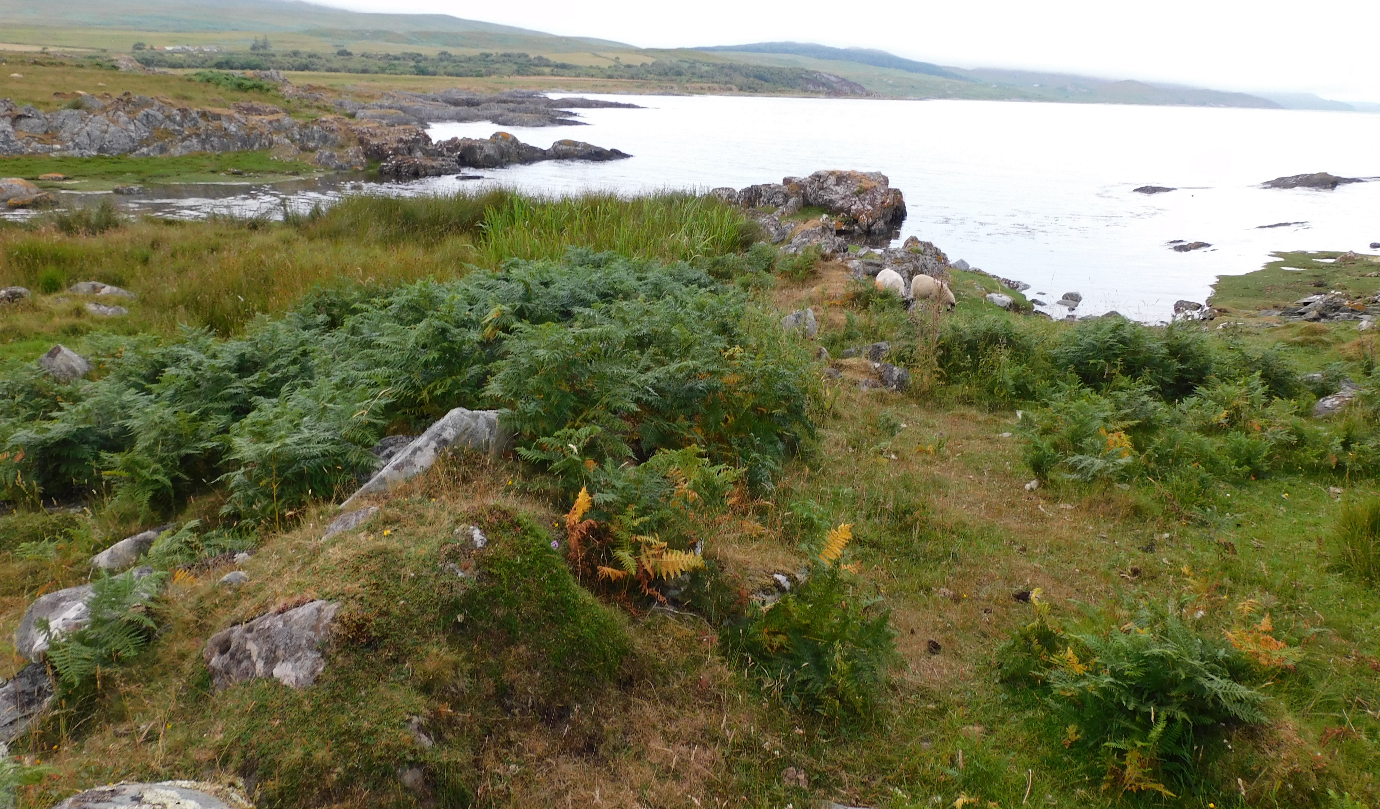
There are stones under the ferns.

Looking back east, one of the hut circles is directly underneath the trees, the other further to the left.
After the battering from Druim Loisgte we retraced our footsteps back to the standing stone at Cnocan Soiller, this time leaving the path to go straight west, which leads to a gate. Climb over this and head north west to the second clearing in the trees/bushes – the cairn rests to the west side of this.
The site sits at almost 6m wide and is 1m high, farmers from all ages have taken advantage and dumped stones onto the east and south sides. Tremendous views of the Bay of Small Islands, my favourite, the smallest, is called Useless Island and to the west Jura’s most famous sight, The Paps of Jura. Whoever was placed here certainly had a decent view.
To get back to the car park simply head straight north, there is a gate in the north east part of the field.
Nice wee site to finish the afternoon.
Visited 25/07/2021.
Details of the impressive fort.
Alternatively, we might want to refine the criteria for inclusion of given borg names in the list. Take Dùn Nosebridge in Kilarrow (NGR: NR 371 601), for example, from Norse *Hnausaborg (Turf Fortress). The fort in question is of the impressive, yet highly unusual ‘multivalate’ type. Its location also
dominates the fertile Laggan Valley, one of Islay’s two main watersheds. If we were to exclude it from the total we would be left with one independent
borg name per medieval parish, suggesting perhaps that these reflect a sixpart administrative division – six séttungir. As in Man and Orkney, this would
not preclude division into administrative ‘halves’; and this could be where the true significance of Dùn Nosebridge lies.
‘ B o r g s ’ , B o a t s a n d t h e B e g i n n i n g s o f
Islay’s Medieval Parish Network?
Alan Macniven


The north end of the west wall, security guards have their minds on other things.

Part fallen, part remaining the substantial west wall.


Looking south, A looking tiny, beyond the Lightkeeper’s House, which I’m really glad to say appears to be getting restored.


