


Northish to southish, must have been huge walls.


The south west wall, the great unwashed north west.


Almost the same slope as the hill in front, Torr Nathrach.


Looking south to the island of Eilean Traigh an Aigid.

Looking onto the Sound of Jura and Ardlussa Bay.
This fort might appear fairly low and it might appear to be easy to reach. It isn’t, our attempts, and there were several yielded no reward.
Our first attempt was to head straight across and batter our way through head high ferns, brambles and various other obstacles. A and B battled their way through and climbed the first part of the cliff. However the climb was to steep and their legs not long enough. However I did manage to climb up and eventually made it to a clearing near the cliff’s edge. This was between the hill to the south and the fort, there appeared to be a hollow way and a tracks end not listed Canmore. Tightly packed trees and various other plants made entering the fort from the south impossible. Heading west I made it back to the bottom of the hill on the An Aird side, only to fall into ditch which was fortunately dry. Following this north for about 20 meters I had another attempt thwarted, having climbed half way there nowhere to go but back down. Trying the headland proved equally futile.
A winter time visit would probably help find a way up, tantalising but no cigar this time.
Visited or attempted 25/07/2021
From the standing stone on Cnocan Soillier head south following the track, part human, part animal, part quad and follow it as it swings north into a flat area called An Aird, situated between to secluded beaches. Head north to find a way round the headland which is the Druim Loisgte, a fort (more of which later) until you reach a natural causeway. The causeway has pebbles then beaches at both sides.
Entrance to the fort is on the south west and is about a metre wide, superbly defended by several standing stonesque rocks, then clamber up the east side. On the forts western side several facer stones give protection, on the east there are hints of a rampart. These defend an area of around 40m by 15m. The south end has been described as a dragon’s tail by locals, a reasonable assessment. Superbly located it can see both the entrances to the Bay of the Small Isles to the south, and much closer Lowlandman’s Bay to the north. Vikings are said to have taken keen interest here and at Ardmenish to the north, as these inlets made superb harbours.
To the east is the Sound of Jura, and whilst on the way to the whirlpools at Corryvreckan was lucky enough to take a couple of photographs from the watery side.
To west is Druim Loisgte...............
Fantastic site.
Visited 25/07/2021.


There appears to larger stones to the south side, possibly kerbs.

On the hands and knees to get a difficult north west view.


The fern covered east side looking into the Bay of Small Islands.
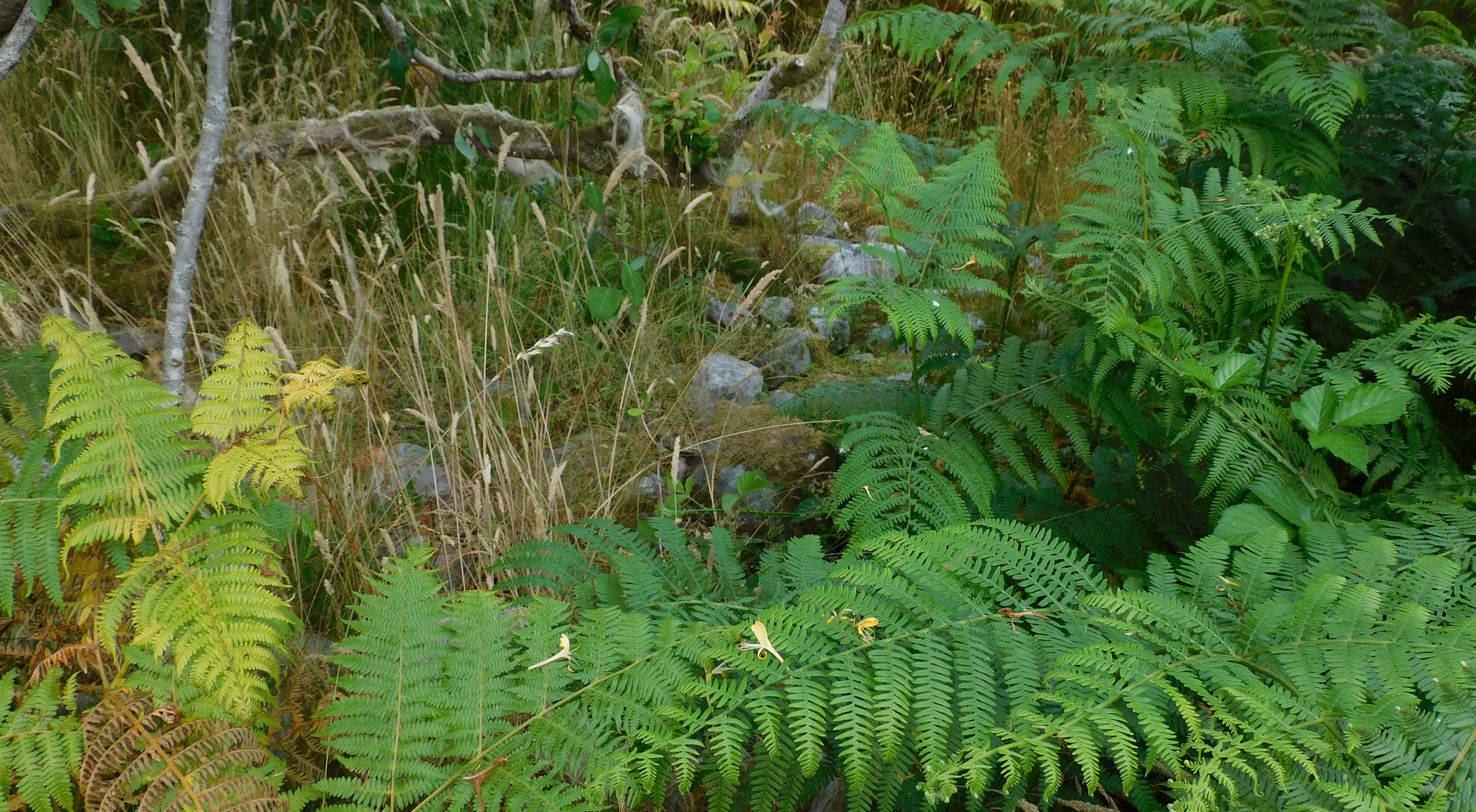
The middle of the well covered in vegetation cairn.


Southern tip of the dun, away in the distance is Ireland.


Early morning sees the clouds lifting from Crackaig Dun, from where I parked, if you walk west you find Carragh A’ Ghlinne, stone row.
Islanders are being asked to help move 500 tyres to protect a 5,000-year-old prehistoric site.
More info :


