

Sadly not much remains of this cairn, it’s been badly trashed.

Up on the track heading towards the very ruined Cambuscurrie Wood Cairn.


A wee shelter has been made plus one of these daft walker’s things.


From the west to east, at the far end ED is handily pointing to where the track is :-)

The much trashed Edderton Long Cairn, this heading south est.


Looking north west, fair play to the people in the caravan, they’ve restored an old farmstead building.


The view from the north east, after the climb and maze of tracks.


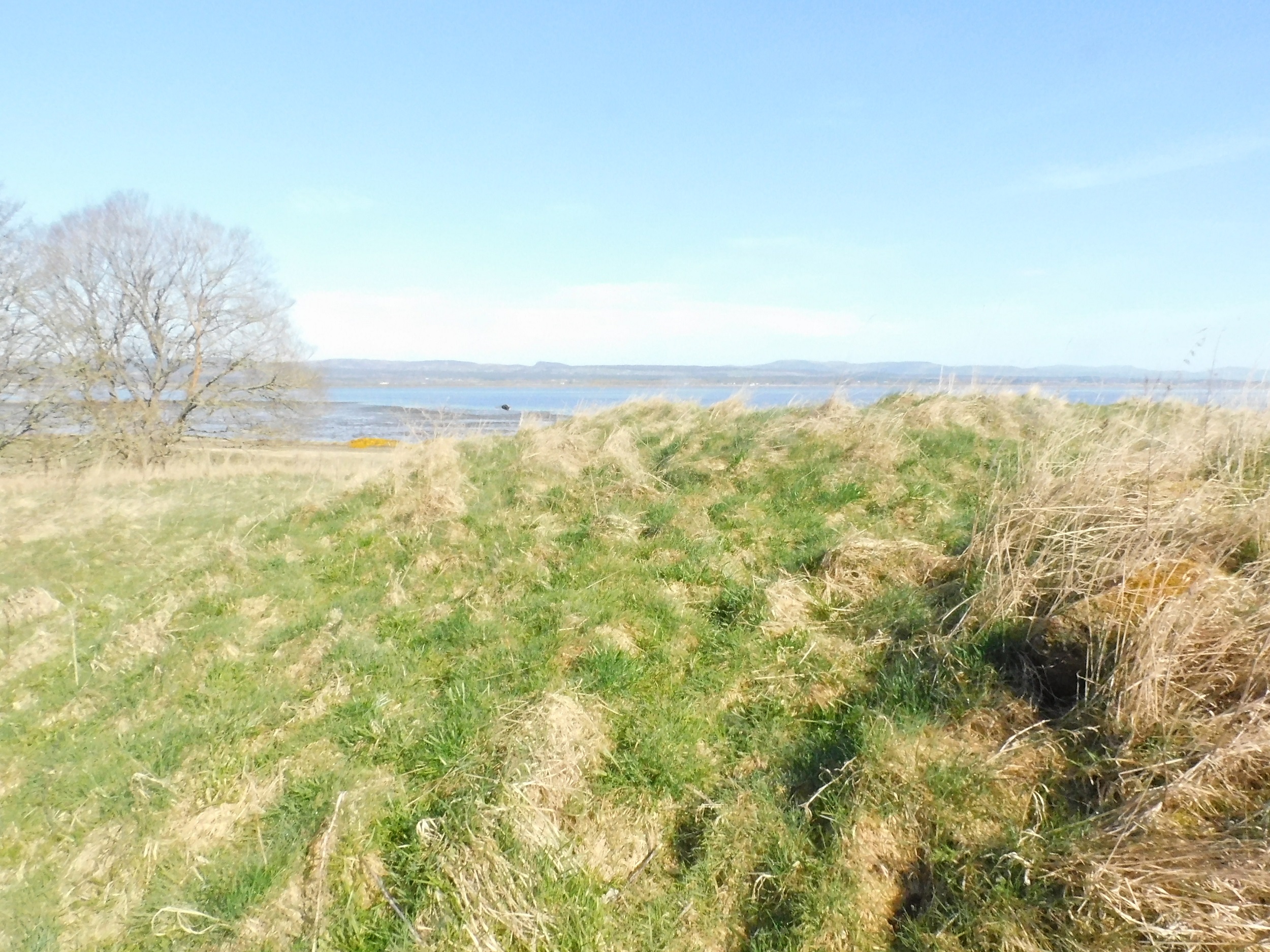
Looking south along the west, I’d think this tree could tell a few stories.


There appears to be an extra line of defence on the east.


Looking south east, the North Sea, further south the very important Glen Morangie distillery.


“I guess over time, I just started to wonder if there might be more to this standing stone up in my local woods.”
Archaeology enthusiast George Bird said he had been “dragging” his friends to stone circles across the Peak District for years.
Plenty of space to park on the field at Kiloran Bay. From here I headed straight east, in the direction of Dunan Nan Nighean (Little Fort Of The maidens) and found a route over Ruiteachan Eorna (barley grass), remarkably dry considering the storm that happened 2 days before. That soon changed, the east had been sheltered by the hills, small streams were still mini rivers, the area known as Leanan Nan Lasgairean (the children of the firemen) was a swamp, plenty of water for the firemen. The storm had taken some weird directions before heading back out to sea.
Somehow I remained reasonably dry and went north of the site to swing round it to approach from the east. What looked like the remains of stone steps made the steep climb easier – Canmore mentions 2 steps but I found quite a few more. At the top the first thing seen is the reconstructed lintel entrance. Spectacular views over to Jura and beyond can be seen.
The wall on the east, containing the lintel, is in good condition, Whoever did the reconstruction did a great job. Also in reasonable condition is the south wall, sadly the same can’t be said of the north wall. A hut that was in the east side of the dun had been had been put into the west wall or flung over the side. Some of the rubble from this also joined the fallen stonework scattered on the dun’s floor. It is small for this type of site, almost 8m east to west by almost 4m north to south. The walls are almost 3m wide.
One good thing about being high above the bog to the west was to spy a way back, even more luckier was to see a sheep’s path which led, in a very twisty but dry way, back to the road near the Cnoc Beag Cairn, from there head south to the gateway at Kiloran Bay.
Spectacular site!
Visited 14/08/2024.
A forestry agency has said plans for a woodland holiday park will not be affected by the discovery of a stone dating back to the Bronze Age.
Archaeologists have helped uncover one of the “largest and most important” Iron Age finds in the UK.
Archaeologists have discovered that what was thought to be a single standing stone in a forest is part of a larger ceremonial site dating back 3,700 years to the Bronze Age.
Archaeologists identify a possible Celtic settlement on the island and believe the trove was hurriedly transported there
Two new buildings will be built near Stonehenge, after plans for a pair of learning centres were given the go-ahead.
A prehistoric burial site in Dorset is now thought to be the earliest known large circular enclosure in Britain prompting researchers to question whether current dating of Stonehenge may need revising.
Volunteers have been helping restore an Iron Age hillfort, which was recently damaged by vandals.
An Iron Age hillfort has been targeted by vandals who have dug firepits, ridden mountain bikes over it and ripped gates off their hinges.
For over 20 years, archaeologists in India’s southern state of Tamil Nadu have been unearthing clues to the region’s ancient past.


Someone sends you a gift of a tea towel.
I started my evening’s walk by parking at the small car park next to Colonsay’s golf course. The four legged greenkeepers were still hard at work preparing the course for the weekend’s Colonsay Open. They also, like me, had something else to contend with – this part of Colonsay had not missed the previous nights storms.
To start with underfoot conditions were fine, head south west, past the airstrip and onto a track, best described as a very long mud bath. Keep going until the beach is almost reached then head south east along a ridge with small valleys, some of which had turned into small lochans.
The stone appears to be having a rest and is propped up up by some possible chokes and rocks. Originally it must have stood at well over 2m. Canmore suggests that perhaps was a small stone circle at some point, I didn’t see any other stones. What I did see through a gap in the ridge were the Paps Of Jura and a small climb to the top ridge gives views of the Oronsay and the south of Colonsay.
After a look round for the possible stones that made up the circle it was my intention to head further south but the weather had other ideas.
This time I headed north east to return to the track. Somehow avoiding falling into bogs to return to the track, airfield and eventually the car park along.
Difficult to get to and find but worth it if just to see through the gap in the ridge to Jura.
Visited 13/08/2024.
After taking in the wonderful views at Garvard we headed back, east, past Garvard farmhouse to the car park. From here I walked north on the B8085 until the first track that heads east. I followed this track to just before the first serious corner to approach the fort from the north east. The terrain here is also flatter and luckily fairly dry as the area had just missed the previous nights storms.
By taking this route the fort can be entered by the front door on the east, facing stones are still in place. Whoever built the fort must have strong, building stones that remain in place are huge. Most of the defences are on the east with the walls being almost 6m wide. Steep cliffs protect the other sides, their walls being only 2.5m wide. Beneath the south there is a tremendous amount of fallen building material. Even these walls must have been massive. They would have surrounded an area of about 54m east to west, and 25m north to south.
Views are fantastic, Jura, Islay, Oronsay can all be seen as well as views to the mainland. To the north Loch Cholla and my old / new friend Dun Eibhinn which dominates the centre of the island.
Fantastic site.
Visited 13/08/2024.
Oronsay was going to be a target but the tide clearly had other ideas, luckily we had other ideas as well. There is a small car park at the end of the road and to the west another intended target. Garvard standing stone, on top of Cnoc Eibriginn, invited us to take the flat walk along the track, past Garvard farm to the small hill.
The approach from the east is the easiest climb to the summit and it’s well worth it as Oronsay, Jura and Islay all come into view, what a marker for prehistoric and later boats to safely come ashore.
People have ups and downs, so do standing stones – after 1878 it had fallen and was re-erected in 1935, it fell again only to be put back up in 1960 by the farmer at Garvard. The 1.75m tall stone seems quite happy to remain in place for many years yet.
Luckily the storm the previous night, only a couple of miles north, had missed the south of Colonsay as the ground was bone dry.
Visited 13/08/2024.
Dunan Nan Con (Glen of the dogs) is located near to the B8085, the road that leads to the south of Colonsay. My dog was also delighted to be on what he thought was home territory.
There is an old quarry just to the south of dun so plenty room to park. A short hike to the west leads to the 5m high rock mound on which the dun sits.
Not much remains of this badly ruined site except the traces of wall and the entrance on the north east. Ferns now occupy the interior. Still the view is good, to the east Dun Cholla and Loch Cholla, further south the island of Oronsay.
Nice way to start the day.
Visited 13/08/2024.
From Tobar Fuar Dun Gallain is easily spotted to the south west, from where we were staying in Killchattan, we could see the dun and just to make sure we realised what it looked like there was also a painting of the site on the kitchen wall. All of this proved that Dun Gallain is in a fantastic location with superb all round views.
The wind was picking up up as I walked across the golf course, underfoot conditions would change as walked on to a rougher surface but they remained dry. It was quite a hike as the wind grew stronger and as I reached the top, approaching from the south east, I did well to remain on my feet.
The dun measures 30 by 20m, with best walls on the south and east. Climbing beneath these walls is quite risky but gives a good indication of the surviving stonework. No such work needed for the north and west as sheer cliffs do the needful. On top of the west cliff sits a walker’s cairn probably made from stones taken from the dun’s walls.
Weather plays a big part in Hebridean life and it would play a huge part later on. Far out at sea I could see flashes of lightning which told me it was time to get a move on back to safety of the car.
A superb site.
Visited 12/08/2024.
“Grey Somerled came to Colonsay, they say, in the capacity of factor. But he neglected his duties, imposed penalties and hardships on the innocent and defenceless tenants, and generally made himself so disagreeable that at last it was decided to take revenge upon him, previous warnings having been no deterrent.
“Like Rory Mor of Dunvegan, who slept best when he was within hearing of his ‘nurse’, the waterfall, Grey Somerled was wont to be lulled to sleep by the grinding noise of a quern placed near his head. When he retired for the night, one of the servants had to turn the quern-stone by his pillow, and keep on turning it, lest he woke.
“It was recognised that any attempt to surprise Grey Somerled during daylight was foredoomed to failure. So, a plot was laid to circumvent him during the night-time. His enemies entered into a conspiracy with one of the servants that she should allow them to invade Dun Gallain after he had fallen asleep. When they arrived, one of their number relieved the woman at the quern, and proceeded to turn the stone without intermission. But he was not too skillful at the turning; and his harsh and irregular grinding soon woke the sleeper. Ere Gey Somerled had had time to consider the matter of resistance, his foes were upon him. They carried him away from Dun Gallain; and tradition in the islands of Argyll has it that, in great privation, he spent the remainder of his days in a bee-hive house of stone, situated on the farmlands of Machrins.
“One night – so the story concludes – a huge boulder from the roof of the bee-hive fell in, killing its unhappy inmate. So as to identify the spot where this tragedy happened, the islanders raised on it the cairn now indicated on the Ordnance Survey Map as Carn Shomhairle Liath – that is to say, Grey Somerled’s Cairn.”
A.A. MacGregor (1947)
Tobar Fuar, cold well, is a site that can be added to the ‘used as part of a golf course’ list.
Parking is easy as the golf course’s car park is next to the B8086 on the west of the island. The dun is a short walk to the west and easily spotted. Not much is left to see except for some stonework marking the outer edges of the site. A bigger than usual gap between outer stones, seen in one of the photographs, probably reveals the entrance in the north-east.
With the Colonsay Open happening at the end of the week, this would prove to be a busy place. I can vouch for the greenkeepers, the sheep were still hard at work as I marched to the next site, the Atlantic providing a cooling breeze for the evening’s hike.
Visited 12/08/2024