


On a day of stunning sites, Cnoc Udais proved to be equally stunning.
From Breakachy I re-joined the A831, headed north to Beauly on the A862 until I reached the centre of Muir Of Ord where I headed north west on the A832 until Ord Distillery. From there follow the minor road west until Auchmore Farm is signposted. Go the end of this road, there is plenty room to park but ask permission first.
The storms of 2021 have destroyed most of the Auchmore Wood, forestry work continued with men and machine removing the fallen trees.
Luckily the track that continues west from the farm has not been affected, keep going past a mast, keep heading uphill until a track heads south. This track will lead to another, a partially tarred track which heads east to the top of the hill, tarred because of the three masts. All of which makes it easier to reach the cairn.
The cairn is impressive, it has a large footprint, it also stands at 15m wide and is almost 2m tall. Stunning all round views and also, on this day, stunning views north west, a blizzard heading straight my way.
By the time I’d reached Auchmore Wood, various types of light highlighted the extent of the damage to the wood. The forestry people were going to work well into the night, they would be doing that all over Scotland for a lot of nights. By the time I’d reached the car the snow had arrived making driving along the narrow minor road treacherous until I reached the Muir Of Ord.
Stunning site, stunning day.
Visited 02/01/2022.
Some great aerial photography.
Dun Mor, near Breakachy, has to be one of the most spectacular sites I’ve ever visited, the views are breathtaking, the amount of stonework verging on the unbelievable.
From Dun Chliabhain I headed back down to the A831 and headed south west and took the first minor road heading north west at Teanassie to eventually park, after asking permission, at Cruenassie.
Take the track to Breakachy Farm, keep heading over the small stream, past the old house still going north. By this time any type of track has gone and underfoot conditions are reasonable if conditions are dry. Luckily for me it remained fairly dry despite the occasional flurry of snow.
The fort / dun comes into view over a small ridge, it is a stunning sight, in the sunlight the rocks glisten. Almost two years previous I’d seen, along with A & B, the fort from over the valley at the Breackachy cairn. It was impressive from there, it is incredible close-up. Like back then and on the day of this visit the Breakachy Burn was in full flow. At the bottom of site there is a gate, part of the deer fence, which can be climbed through.
The crag on which the fort is built might be isolated but it isn’t alone as there are plenty of prehistoric sites nearby to keep it company.
The overall measurement is 25m by 16m making it oval shaped, the walls are over 5m wide with the entrance on the south east which I clambered over as the walls have fallen in. To the south of the crag there is another line of defence which extends the fort to some 40m in width.
Steep sides to north and east, cliff face on the west complete the defences.
After several walks around it was time to head back to the warmth of the car and a wee trip to Cnoc Udais.
One of the best sites I’ve seen.
Visited 02/01/2022.
A new project has been set up to help uncover ancient hunter-gatherer sites high in the Cairngorm mountains.
More info :
After good look at the cairn at Cnoc Na Moine I headed back to the forestry track by the way I arrived. Head north on the track until the deer gate, go through and keep your eyes on the deer fence to the west for a small gap which can be easily climbed through. Keep heading west on a path of sorts until the trees end. In front will be Dun Chliabhain.
Despite being very chilly and with an occasional snow flurry it was a glorious day. It is an easy climb heading west to the impressive site.
Defences to the north include a cliff, part of the stone wall has fallen over the side. The wall in the east, home to the entrance, and south is impressive being well over 3.5 meters wide, there is another wall to south beneath the small hill, this appears to be an unfinished defence, tapering out towards the east. Western defences consist of a lower wall with the higher wall reducing in size towards the north.
Stunning views to the north west of snow covered mountains, clear vision to the forts to the south and to the east there is the Beauly Firth. These hills are covered in prehistoric sites, these sites are also in some of Scotland’s best scenery.
Lovely site.
Visited 02/01/2022.
Leave the A839 at Kilmorack Hall and take the minor road north, turn west for a short distance, then north, then north east following the road round the sharp corner, head north to the roads end. It says ‘No Parking’ but the track further uphill is perfectly fine for a car if you like a steep climb, I parked at a turning place for forestry vehicles, just before Farley Wood.
I made my way back downhill a short distance then headed west. Luckily a track of sorts skirted a bog, walking near a wooded area avoided more bog until a more heathery part was reached, amongst this clearing is the site.
It sits at almost 7m high and is almost 1m high, with several kerbs still in place. A large flattish stone also sits on the south west, a cist cover, perhaps. One thing for sure, it was well placed. Beautiful views all round, multiple prehistoric sites on most hills, to the east the start of the Beauly Firth, further east the Kessock Bridge can just about be glimpsed.
Great start to what would be a great day.
Visited 02/01/2022.
I approached from the east on the B951 on the way home from Brankam Hill taking the first minor road heading north, west of Forter Castle. Alternatively you can leave the A93 and head north east on the B951, near the banks of the Black Water. Take the first minor road north. A short distance up this road there is a forestry track heading heading east, plenty room to park. The site can be seen to west, clearly visible from the road. Walk a wee bit north and a gate to the field will be found. The cairn is on top of the small but prominent hill in front.
It is a small cairn being 6.5m wide and 0.2m high. However, several kerbs remain in place with spectacular all round views. Almost due west are the two cairns at Lair, on the west side of the A93.
A lovely end to a lovely day.
Visited 29/12/2021.
If Ken McElroy gets his way, a very unusual feature will soon be added to the wild Caithness landscape at the northern edge of mainland Britain. He plans to re-create a 50ft-high iron age “skyscraper”, known as a broch, one of the most intriguing and mysterious types of building ever constructed in the British Isles.
More info : theguardian.com/uk-news/2022/feb/20/new-caithness-broch-will-reach-50-feet-and-follow-plans-devised-in-600bc
Always nice to report a new discovery especially if has been discovered by a friend, in this case Allan Clark whose land the site sits.
From Purgavie Farm I headed straight up the track to the north climbing Brankam Hill, an area I’ve looked and looked at, keep heading uphill but go North east following the track north east, over the top and down to the gates near a hut circle, and normally near a very large puddle. (On the OS map there is also indicated a path, leaves the B951 heading north.)
From there head straight north, if you go east you’ll find Wellton, Carrach and Mile Hill Cairns.
Kerbs sporadically surround the site, at least one stone looks like it once stood and there appears to be hardly any houk damage. It stands at almost 10m wide and is 0.8m high. No tree planting will happen in this area.
Situated on the saddle of the Brankam and Wellton Hills, there are stunning views on an area covered in prehistory. Though it can’t be seen, the impressive Strone East cairn is a short distance north, the cairn at Lintrathen is clearly visible, Brankam Hill is covered in prehistory, Foldend, Pitmudie, Torrax, Wester Coul etc etc are all nearby. Plenty days of prehistory here.
If parking at any of the nearby farms please ask permission.
Visited 29/12/2021.
Same as Nick’s notes and park near the the sign at Carlungie Farm. However, the track from the road to the site has been ploughed up and on my visit was a bit of a sticky mud bath.
Still, like its near neighbour at Ardestie and slightly further away at Tealing a superb site, and like both of these sites, well trimmed grass.
Visited 27/12/2021.
With the sound of Carnyx’s still in my head I chased various visiting Danes and Romans all the way to the magnificent souterrain at Ardestie. Things have changed since Nick’s visit.
There is now a car park, a decent track to the well manicured site. This is a tremendous place and photographs are far better than my ramblings.
Should also be noted that perhaps the road layout has changed. I approached from the north, B962, via Templehall, Laws hill (home to various prehistoric sites, cup marked rocks, fort, broch etc) is to the west, this won’t have changed much. If approaching from the south leave the A 92 and head north on the B962, pull in at the first layby on the west, this is actually the car park for the souterrain, no sign indicating the nearby site when I was there, hopefully something will be up before to long.
A must visit!
Visited 27/12/2021.
More good aerial photography, and details of various digs.
By the time I’d arrived here the skies had closed in, the cloud was low, on the plus side only a light drizzle accompanied me to the fort. I parked at Woodside cottages, walked south towards the sewage works, keep an eye on the fence to the east, there is a gap, go through that and head to the east side of the hill. At this point access to the hill is at it’s easiest.
Head west and you’ll see small traces of ramparts all around. Sadly a lot of the broch, hut circles and fort have been quarried so not to much remains. What does remain is interesting, the broch on the west end of the hill sits on to of the fort despite being almost removed completely the furze/bracken gives a good idea where it once stood. Even shooters, whose spent cartridges are everywhere, have helped by creating a path through the walls giving an idea of with width. Either side of this are the walls covered in vegetation, difficult to spot but definitely there.
The gap in the vegetation caused by the shooters also shows the remains of a causeway, which can be found by going through the gap of large facer stones.
On a clearer day day there would be lovely views all round, but I like the mist, the swirl of drizzle. It’s easy to let the imagination run riot and being a brass player I imagined hearing these Iron Age Celts (no surprise there) blasting away on a Carnyx.
With that in my head, a lot goes through my head, I headed back to the car. A couple of souterrains next on the list.
Visited 27/12/2021.
As he went out for a row one morning on the River Thames in London, graphic designer Simon Hunt came across a rather unexpected find.
More info : bbc.co.uk/news/uk-england-london-60348707
5,000-year-old chalk drum decorated with motifs was discovered in Yorkshire alongside burial of three children
More info :
Mass immigration to Orkney during the Bronze Age replaced most of the local population – and was largely led by women, according to new research.
More info : bbc.co.uk/news/uk-scotland-north-east-orkney-shetland-60290483
Heading east from Dundee on the B861 park at the first gap after the North Gates farm. The wood on top of the hill also houses the Bronze Age cairn. By the time you’ve walked there the chances are that you’ve walked over two enclosures and a souterrain.
The cairn is huge, 40m wide and 2m high with loads of humps and bumps. There is a lot of cairn material lying about, there is also a lot of field clearance.
A Pictish stone, probably a recycled capstone, was taken to Linlathen House and promptly lost.
A nice large site to start the day.
Visited 27/02/2021.
Christmas Day provided beautiful weather for a good hike, sadly our intended target was Hill of Maud / The Rinnes. However Storm Arwen had made sure the hill was impossible to climb, the road near being barely passable.
We hadn’t been to the Green Castle at Portknockie for a while, and its stunning natural neighbour, Bow Fiddle Rock, therefore a visit required. It might have looked calm but sea seemed pretty rough to me.
Park on Patrol Road, head towards the sea and a path will be found to both sides. Head east to Bow Fiddle, a track will take you to a pebbly beach and another leads to a place where you can almost look down on to the natural arch.
Apparently the rock is named because of a similarity to the tip of a fiddle (violin) bow. Personally I think whoever thought of that must have had a few drams to many!
Wonderful scenery!
Visited 25/12/2021.
After an early start the drive down from Turriff was very pleasant until the Kirriemuir junction at Forfar, looking west it looked very gloomy with large dark clouds and mist. From Kirriemuir I headed along one of my favourite routes the B951, via Kingoldrum, to Purgarvie. The farmer will allow parking, please ask permission.
Across and north from the farm climb up Brankam Hill, thru the gate next to farm, straight north thru another gate then follow the track heading north east down the other side which will lead to another gate and stream. There are many prehistoric sites on this hill. Head up the hill in front Wellton, home to another cairn and keep going. By this time the rain was in full flow, a nightmare but I plodded on through a marsh, gradually heading uphill. The Carrach cairn should be visible. Head towards the trees and head south, there will be a pond and a gate, go through this and head east. This is Kinclune Hill, with its double top. Climb the east side of the hill and then head north. Go downhill, jump the fence, stream and then head uphill again. This approach is from the east, much easier than the very steep western approach.
By now the rain was torrential and mist was obscuring the view.
There isn’t much left of the Mile Hill cairn, it has been robbed, flattened by cattle and is covered in turf. What a pity it wasn’t a better day as views from here would be spectacular, the whole area being covered in multiple prehistoric sites. Culhawk, Kingoldrum, Ascreavie, Lintrathen, Strone, Brankam, Lintrathen, Plew, Motherie etc etc can normally all be seen from here. Luckily the rain eased slightly as I took a few photos of the cairn which is 5m wide and 0.3m tall. The perfect location and with the weather, an atmospheric site with swirling cloud, mist and rain.
Heading back I chanced going down the west side to reclimb the west side of Kinclune. Look for a track, this will lead back to the gate/pond and the route that eventually ends up at Purgavie Farm. By now streams had become rivers, the valley below was flooded and weather forecast was for more rain.
The River Isla was bursting its banks but I made it safely north on to the A93 which eventually leads to the north east.
And no accidents!
Visited 23/12/2021
Is it an ancient tradition or an eyesore? A row has broken out about a clean-up of a clootie well in the Highlands.
More info :
A project to reconstruct an Iron Age broch has released a new digital image of what the completed building is expected to look like.
More info : bbc.co.uk/news/articles/c35r7ygj0w4o
From Tom Na Moine I headed back to Tomatin and the A9 to go north. Take the B9154, then the first track that leaves it heading north east. Plenty room to park, be careful to park in the correct place.
Head to Loch Moy’s edge and follow the path north until a clearing that gives you lovely views of the crannog. This is quite an easy walk, in rainy days it could be a bit of a mud bath.
Being over 12m the remnants of a dun or another type of building appear to have left a cairn sitting on top. Later centuries saw it used as a prison and a place of execution.
However, it is a more peaceful place now apart from the hum of traffic on the nearby A9. Superb walk all round the loch, superb scenery makes it even better.
Visited 23/10/2021.
From Tomatin take the minor road as it heads south west following the River Findhorn until the lodges west of Kyllachy House. After asking permission to park I headed north east and uphill following a forestry track.
Keep heading uphill until well clear of the trees, go past an unused shed until a deer gate. After the gate I headed east following the track of a dried out burn until a small bog, luckily this was reasonably dry, then head uphill again and north east. This should lead straight to the cairn.
A well preserved cist remains, with edged stones being over a meter long and 0.5 meter wide/deep. I counted nine kerbs in the cairn which is over 6m in width / 0.5m high.
A beautiful site with tremendous views, with the Rover Findhorn in the glen below, also in the glen below was a heavy rain shower which swept past ensuring I’d avoid a drenching.
Visited 23/10/2021.


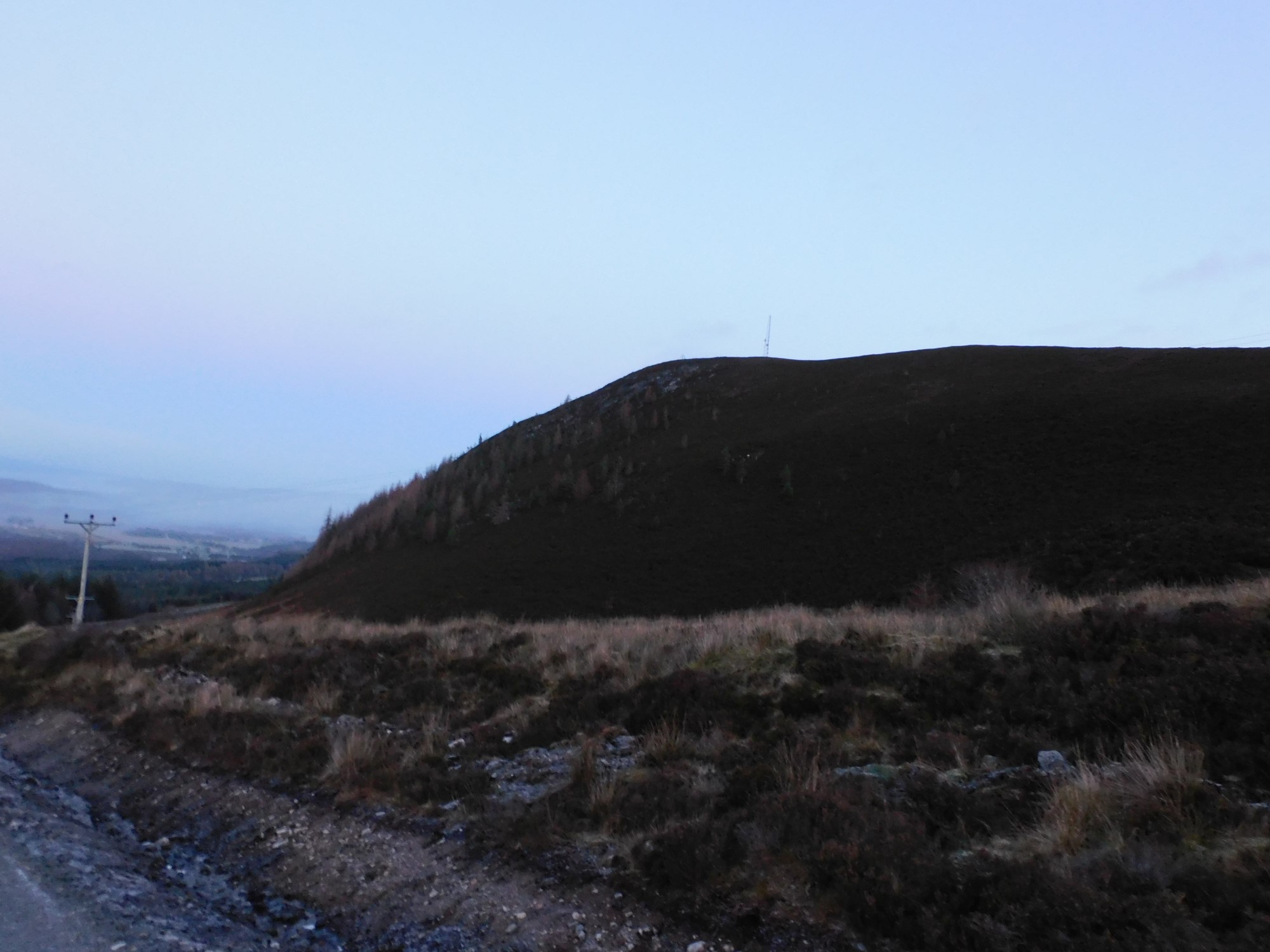
This from half way down the north road shows how steep the east side is, and there’s much further to go. By the time I got back to the car, the hill had changed colour.

The western approach, the cairn is behind the first mast.


A flurry of snow arrived, this stone on the south of the cairn.
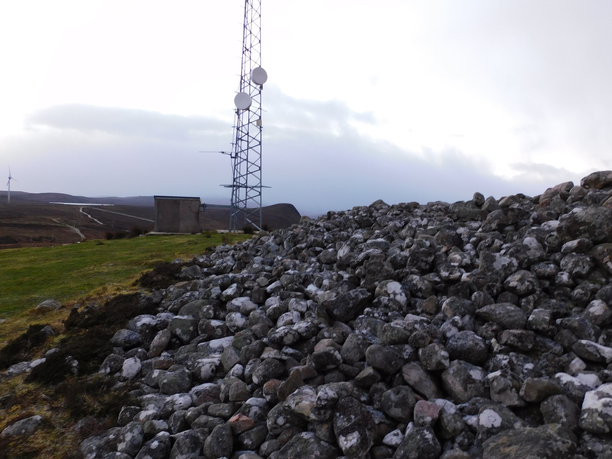

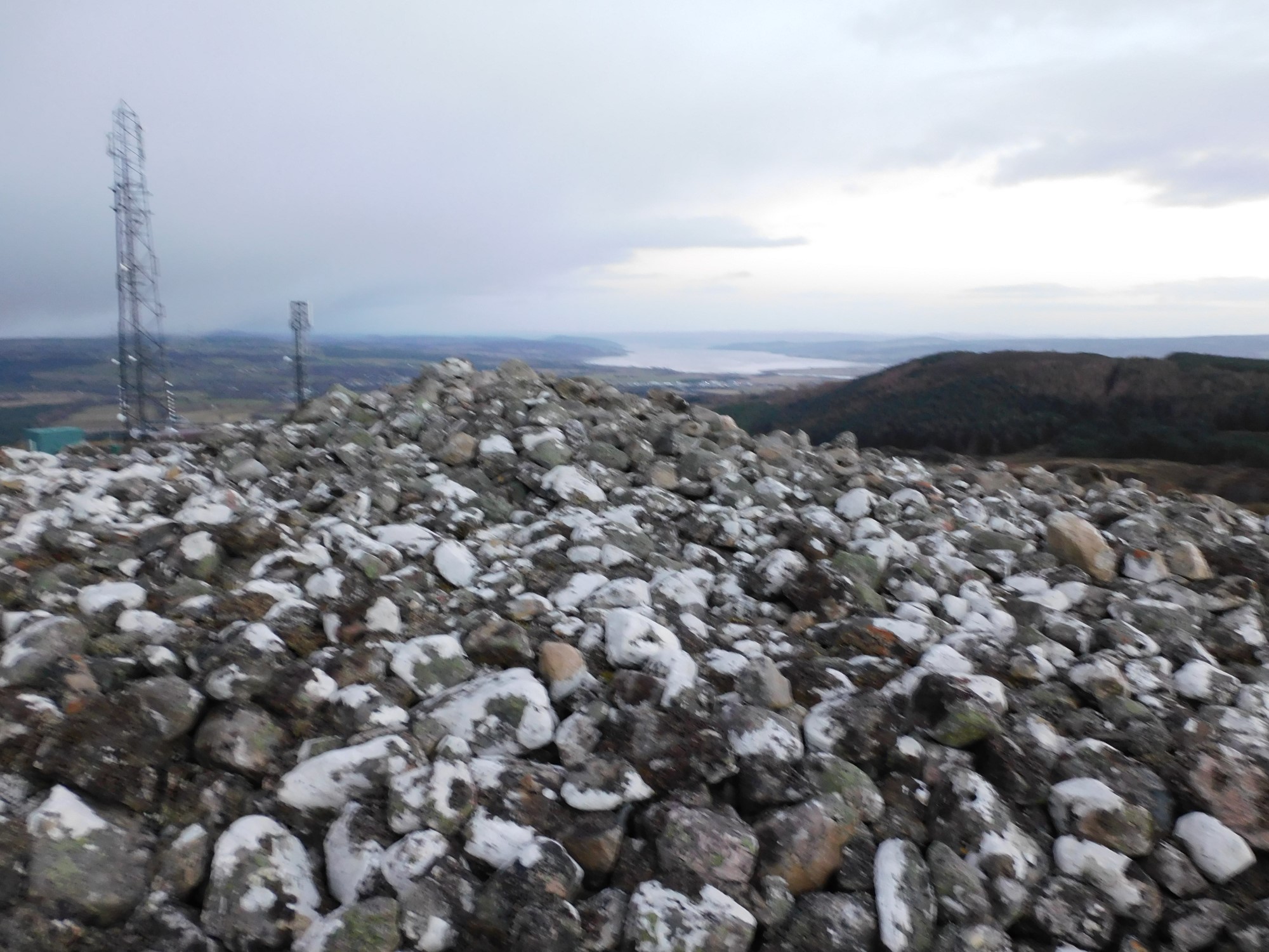

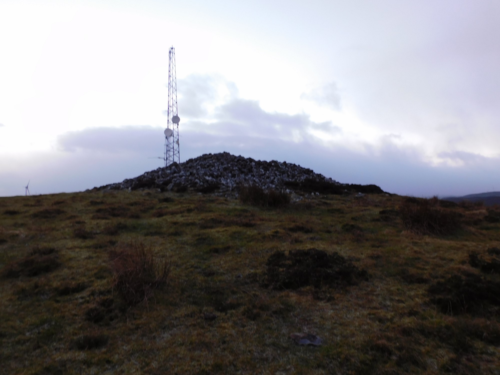


The brilliant cairn on top of Cnoc Udais, heavy snow on the hill across the valley.

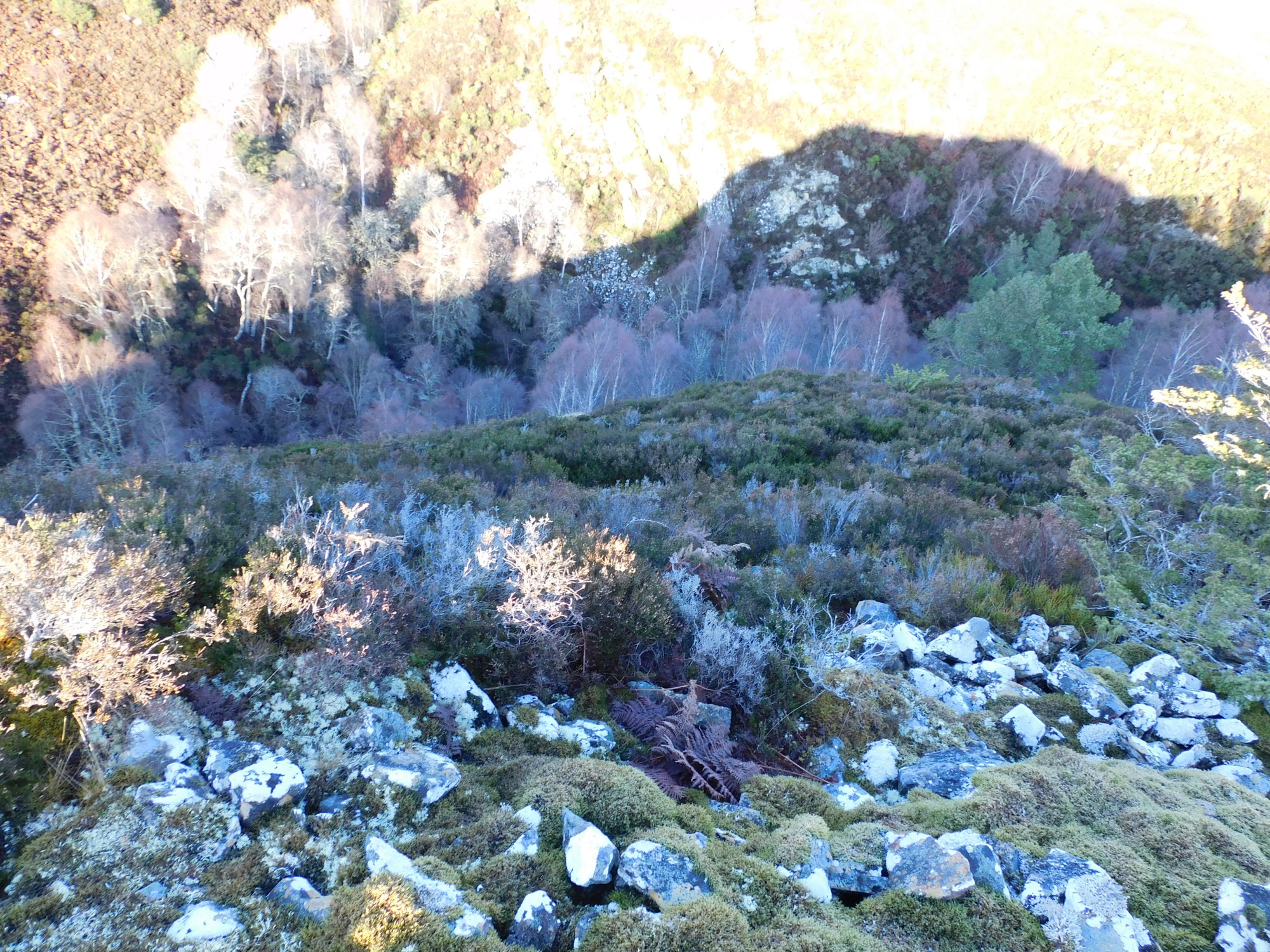
This gives an idea of how big the wall is and deep the glen below.

The east wall swings into the south wall.

In the valley below the Breakachy Burn adds another line of defence as well as the steep slopes.


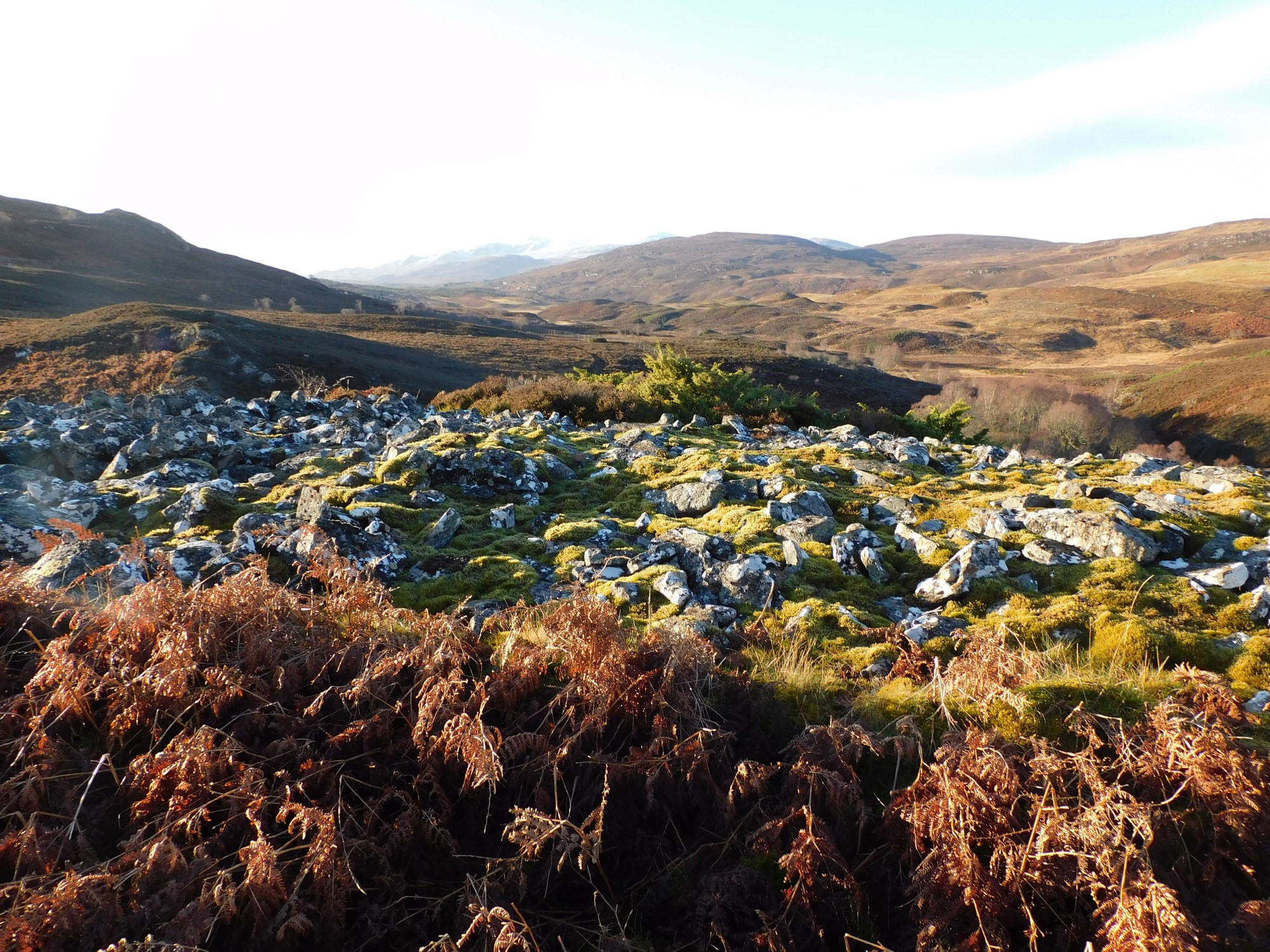

North west section of an incredible wall.

When you scramble to the top you are greeted with this.

The hills south have quite a few forts, duns