
A few chunky pieces of limestone protrude from the turf on the edges of the barrow, hinting at the construction materials used.
Image credit: A. Brookes (17.1.2021)

A few chunky pieces of limestone protrude from the turf on the edges of the barrow, hinting at the construction materials used.

The scooped-out centre is much clearer of vegetation than on my previous visit a dozen years earlier.

Last light, New Year’s Eve 2020.

New Year’s Eve, as the sun sets on 2020.


Looking towards Wistley Hill. Lineover long barrow is on that ridge.


The barrow stands prominent on the right of the track. Approaching from Coberley.
“More than half a million aerial images of historical sites in England have been used for a new mapping tool.
Photographs and 3D laser scans have been taken over the past 30 years to uncover “hidden archaeological landscapes”, Historic England said.
Sites include 6,000-year-old long barrows, Roman camps such as those on Hadrian’s Wall and 20th Century areas linked to the world wars.
The map covers more than half of the country.”
More here (BBC website):
bbc.co.uk/news/uk-england-58817448.amp

A brief break in the cloud and snow flurries.


The circle from the northeast, final sunlight.

The mound/barrow in the eastern arc, as the sun briefly came back out from the low cloud that blocked any hope of a proper Midwinter sunset.

The central stone, with the southern arc beyond. Looking towards Down Barn.

The mound/barrow inserted into the eastern arc of the circle.

Pickledean stone circle from the west.


Last time I came here was Autumn Equinox, so it’s lovely to come in a golden Midwinter evening.

The excellent southern cairn, one of my favourite sites in the wider Avebury landscape.

The middle of the Jam, with the Monster Stone uphill to the left of centre.

Looking east towards Clatford Bottom.

The Jam from its eastern (Clatford Bottom) end.


Cairn-like pile of smaller stones close to the site.
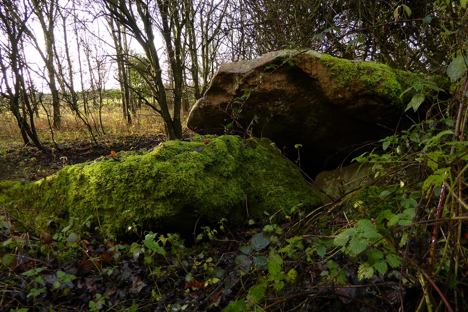

Smaller, blocky stone set a little way apart from the main group of stones.
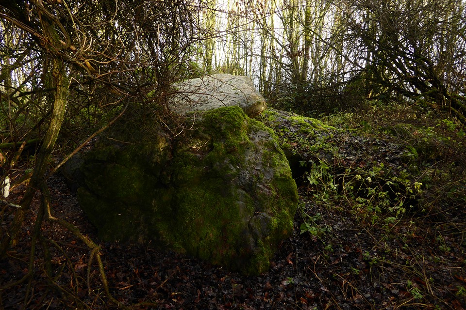

Settlement remains on the north side of the Herepath. it’s not very obvious what’s what here, or whether some of these are naturally placed sarsens.

Sarsens around the perimeter of the hut circle next to the Herepath. Looking west towards Overton Down – the excellent southern cairn is visible on the skyline left of the centre. The high ridge of the Marlborough Downs rises far left.

Hut circle next to the Herepath.

The settlement on the south side of the Herepath (hut circle in foreground, field system beyond), looking south.

I would’ve spent the next couple of hours considerably less wet if, before rushing off up Overton Down, I’d paid more attention to the big weather front bringing sleet on the left, than to the little patch of blue on the right.


Failing winter light, looking back towards the hilltop site from the cleared area off the path to the west.

The western bank.

The western edge of the site, with the lighter green of the footpath/forestry track on the left.

There are various blocks of sandstone on the bank (see bottom right), which I imagine is the main construction material under the topsoil.

The southeastern arc of the bank.
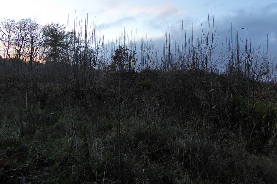
First sight, arriving from the east. The height of the bank is impressive.
Visited 5 December 2020 as dusk was approaching.
Nearing the end of an unexpectedly arduous section of the Gloucestershire Way from Mitcheldean to Huntley via the summit of May Hill, made difficult due to the incredibly slippery mud that seemed to coat every hillside and every field, which has had me on my arse three times in the first few miles.
The visit requires a detour from the Way at Gander’s Green, so I approach through the forestry to the southwest. The tracks are initially good and easy to walk, but then drop steeply to a little valley to the south of the earthwork. From here the going is hard, pools of water concealing sticky mud. Once I reach the bottom of the valley, the track climbing up towards the earthwork was so slippery with mud I begin to wonder if I’ll ever get up it. But like Macbeth, I’m stepped in mud so far that, should I wade no more, returning were as tedious as go o’er.
Eventually I round a bend and the gradient levels. From here it’s an easier walk to the earthwork, which turns out to be right next to the path. It’s been cleared of trees at some point, making it easy enough to follow the single bank round. Like all woodland sites that are not kept clear, it is already teeming with self-seeded brambles and what will no doubt eventually become more trees. It’s a well-preserved site, although I’d still not like to guess whether it’s Iron Age or medieval. It crowns the top of the little hill, but any panoramic views are sadly restricted by the trees on all sides.
The light is failing and I’m tired after the mud-slogged miles. But I enjoy the short visit here before plunging back into the woodland. Rather than retracing my steps down the mudslide southeast, I head westwards. The path soon becomes a wide and impassible pool, forcing a detour into a clear-felled area where I somehow manage to avoid tripping over hidden roots and stumps and eventually rejoin the path proper. It’s been a harder visit than I had expected, but it’s a nice site and worth the detour. A spring visit would probably be best, as long as it’s been dry.

