thesweetcheat

thesweetcheat

All posts 2,051-2,100 of 16,541 posts
Image of The Werfa (Round Barrow(s)) by thesweetcheat

The Werfa

Round Barrow(s)

The western edges of Werfa/Mynydd Llangeinwyr from Bwlchgarw. The source of the Afon Garw is just below the viewpoint. The Ordnance Survey map shows a further round barrow on this saddle between Mynydd Caerau and Werfa, but I didn’t find anything in the tussocky grass. Fabulous viewpoint though.

Image credit: A. Brookes (5.3.2022)
Image of The Werfa (Round Barrow(s)) by thesweetcheat

The Werfa

Round Barrow(s)

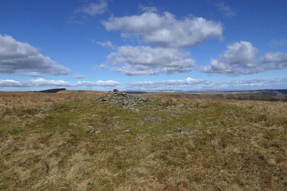
At first I thought this was exposed stonework on the top of the barrow, but on closer inspection the blocks turned out to be a concrete conglomerate. The partially wooded hill on the left is Mynydd Caerau, which is crowned by an extensive barrow cemetery.

Image credit: A. Brookes (5.3.2022)
Image of Crug yr Afan (Cairn(s)) by thesweetcheat

Crug yr Afan

Cairn(s)

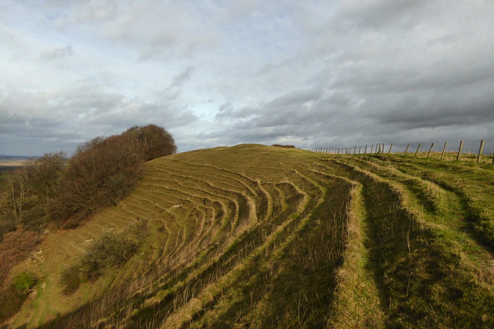
Landscape context from Carn-yr-Hyrddod to the south. The cairn is on the top of the hill, centre, to the right of the forestry. Corn Du and Pen y Fan are the unmistakable mountains on the skyline over to the right.

Image credit: A. Brookes (5.3.2022)
Image of Mynydd Ton (Cairn(s)) by thesweetcheat

Mynydd Ton

Cairn(s)

Landscape context from across Cwm Ogwr/Ogmore Valley, near the excellent Carn-yr-Hyrddod. Mynydd Ton cairns are in the forestry at the left hand end of the ridge, Garn Fawr in front of the forestry in the centre, and Garn Fach far right, behind the windfarm.

Image credit: A. Brookes (5.3.2022)
Image of Mynydd Llangeinwyr (Round Cairn) by thesweetcheat

Mynydd Llangeinwyr

Round Cairn

Looking east across the northern cairn. The steeply scarped hillside opposite is Mynydd William Meyrick, which has two trashed cairns (Garn Fawr and Garn Fach) that would probably be intervisible with this monument. Garn Fach is amongst the windfarm now.

Image credit: A. Brookes (5.3.2022)
Image of Pant Blaenhirwr (Cairn(s)) by thesweetcheat

Pant Blaenhirwr

Cairn(s)

After much futile wandering on the hillside I gave up on Garn Lwyd, which is annoying as aerial photos suggest that I’d somehow missed a very large cairn. This low green mound was in the general vicinity, but I’m pretty sure it’s not “it”. Great views across Cwm Cyfog towards Mynydd William Meyrick, which boasts a couple of very wrecked but nicely situated cairns.

Image credit: A. Brookes (5.3.2022)
Image of Pant Blaenhirwr (Cairn(s)) by thesweetcheat

Pant Blaenhirwr

Cairn(s)

Okay, so the SW cairn isn’t the most impressive monument (it’s the lighter green patch in the centre) but it’s in a nice spot. Looking west towards a distant but prominent Foel Fynyddau (centre skyline), with Garw Forest nearer at hand.

Image credit: A. Brookes (5.3.2022)

Miscellaneous

Mynydd Llangeinwyr
Round Cairn

Two cairns on Mynydd Llangeinwyr, Coflein/GGAT descriptions:

Southern cairn (SS9197090610)
An oval stony mound, 7.6m E-W by 6.1m and 0.3m high.

Entirely grass-covered and roughly flat-topped mound, slightly dished in from the edges; stone can be detected in the interior so it is unlikely to be a ring cairn, unless the centre was later filled. Sheep track runs across monument N-S, and appears to have dug into it slightly.

Northern cairn (SS9198291967)

This low circular cairn measures 6 metres in diameter, and is up to 0.5 metres high. It is covered with bilberry and grass.

The northern cairn is not marked on the OS map.

Miscellaneous

Pant Blaenhirwr
Cairn(s)

Two (possible) cairns on the upper slopes of Pant Blaenhirwr, Coflein descriptions:

Garn Lwyd (SS9198090140)

A suggested ring cairn, 14m SW-NE to 12.5m overall diameter, in an uncharacteristic on a steep NE-facing slope.

Pant Blaenhirwr SW (SS9170189893)

A low mound, 3.5 metres in diameter and 0.3 metres high with a high stone content. The vegetation cover was grass in December 2011.